Warm through Wednesday, much cooler late week
SUMMARY: Ahead of a cold front later this week, temperatures will quickly climb during the first half of the week. 70s look likely for Tuesday and Wednesday, with a few 80 degree readings in spots Wednesday. The front moves through on Thursday, bringing rain showers and much cooler temperatures. Highs on Friday will be more than 20 degrees cooler than Wednesday! Temps rebound a bit for the weekend ahead of another rain chance Sunday and into next Monday.
SUNDAY NIGHT: A bit warmer than Saturday night, but still chilly in the mid to upper 30s. Some locations may see some patchy frost on Monday morning. Skies will be clear.
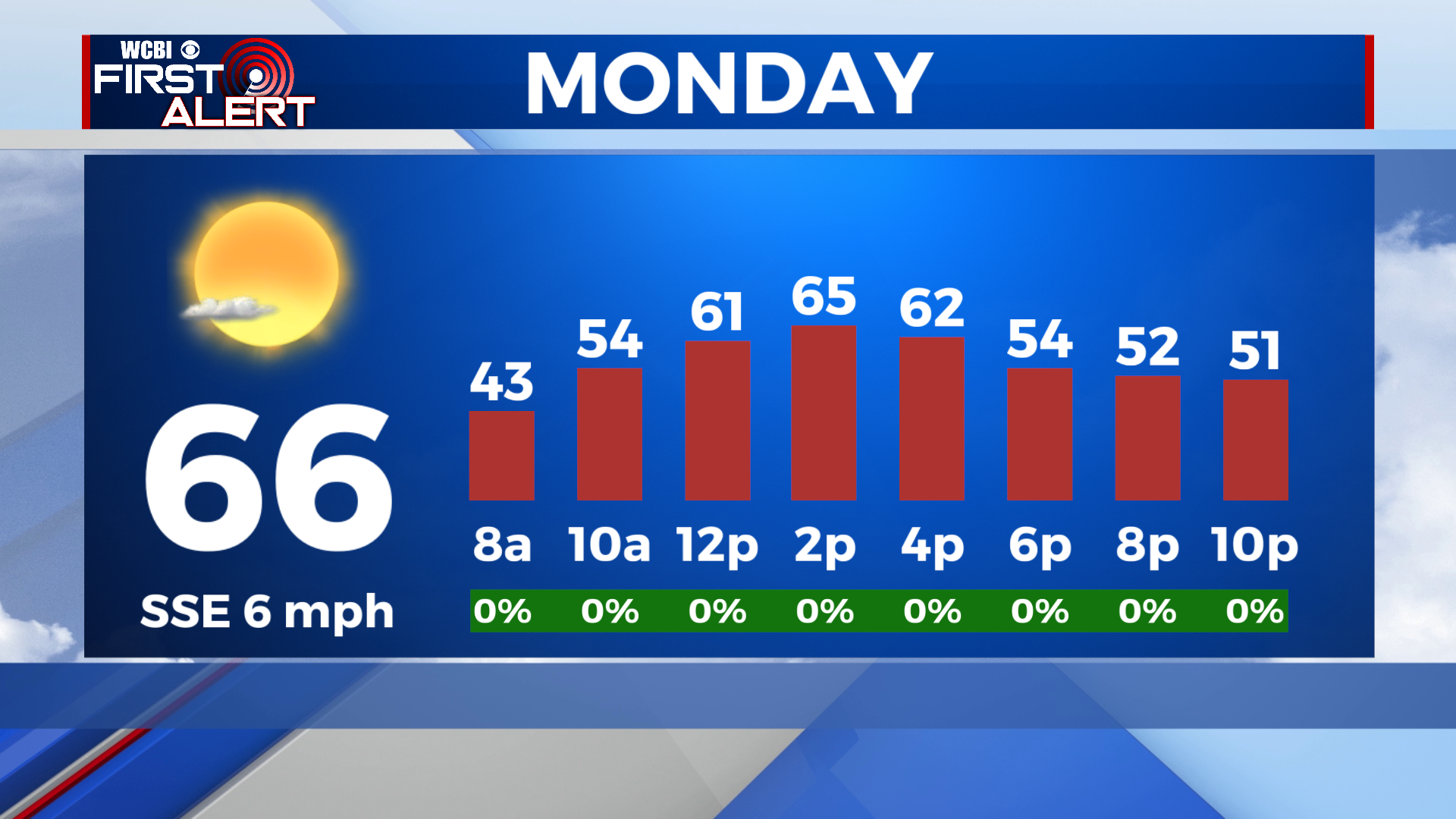
MONDAY: A gorgeous forecast for Monday, with lots of sunshine and a high in the mid 60s.
MONDAY NIGHT: As moisture increases across the area, lows will be a lot milder- in the upper 40s or low 50s. Skies will be partly cloudy to mostly clear.
TUESDAY: Sunshine sticks around for Tuesday with very warm weather in store. Highs will reach the low to mid 70s on Tuesday afternoon.
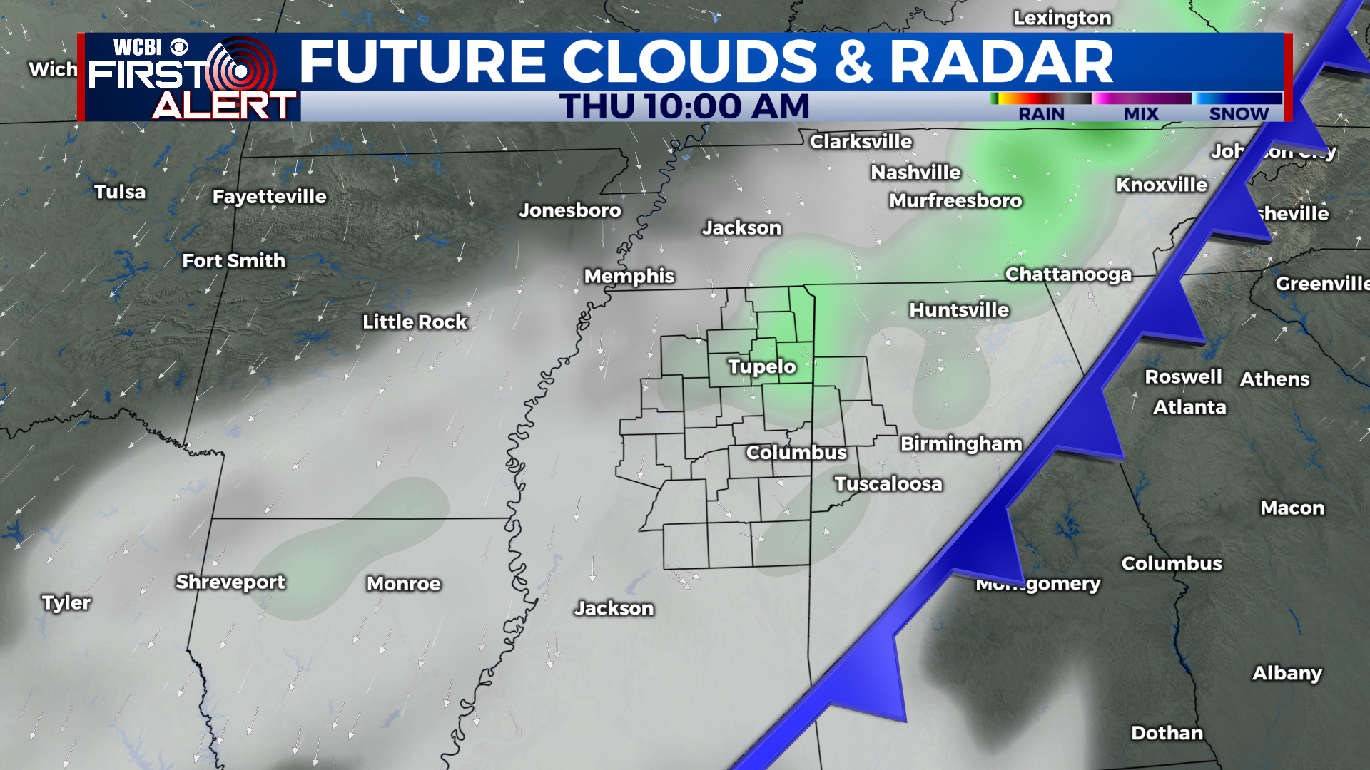
WEDNESDAY TO SUNDAY: Wednesday will be even warmer than Tuesday, with a high in the mid to upper 70s, possibly even 80 in a few spots. Clouds will on the increase through the afternoon. Wednesday night temperatures will hold steady in the low 60s, before a cold front moves through Thursday morning with widespread rain showers. Temperatures will then fall for the rest of the day, into the 50s by the afternoon. Lows will plummet Thursday night under clear skies, into the low to mid 30s with a freeze possible in spots. Skies clear for Friday but it will be much cooler, in the low to mid 50s. Lows once again near the freezing mark Friday night. Saturday and Sunday we return to the low 60s and lows warm to the 40s. Rain showers will be possible late Sunday.
CONNECT WITH @WCBIWEATHER ON TWITTER, FACEBOOK AND INSTAGRAM