Warm weather stretch continues
COLUMBUS, Mississippi (WCBI) – Temperatures will continue to trend generally above average for the next week. A weekend front could bring rain and storms at times.
WEDNESDAY: Clouds will gradually decrease today, leaving the afternoon sunny and warm with highs in the middle 70s.
WEDNESDAY NIGHT: Clear and cool again with lows in the upper 40s.
THU/FRI: Plenty of sun is in store both days with warm afternoons as highs reach the upper 70s to near 80 degrees. Clouds will increase late Friday, but the day should remain dry.
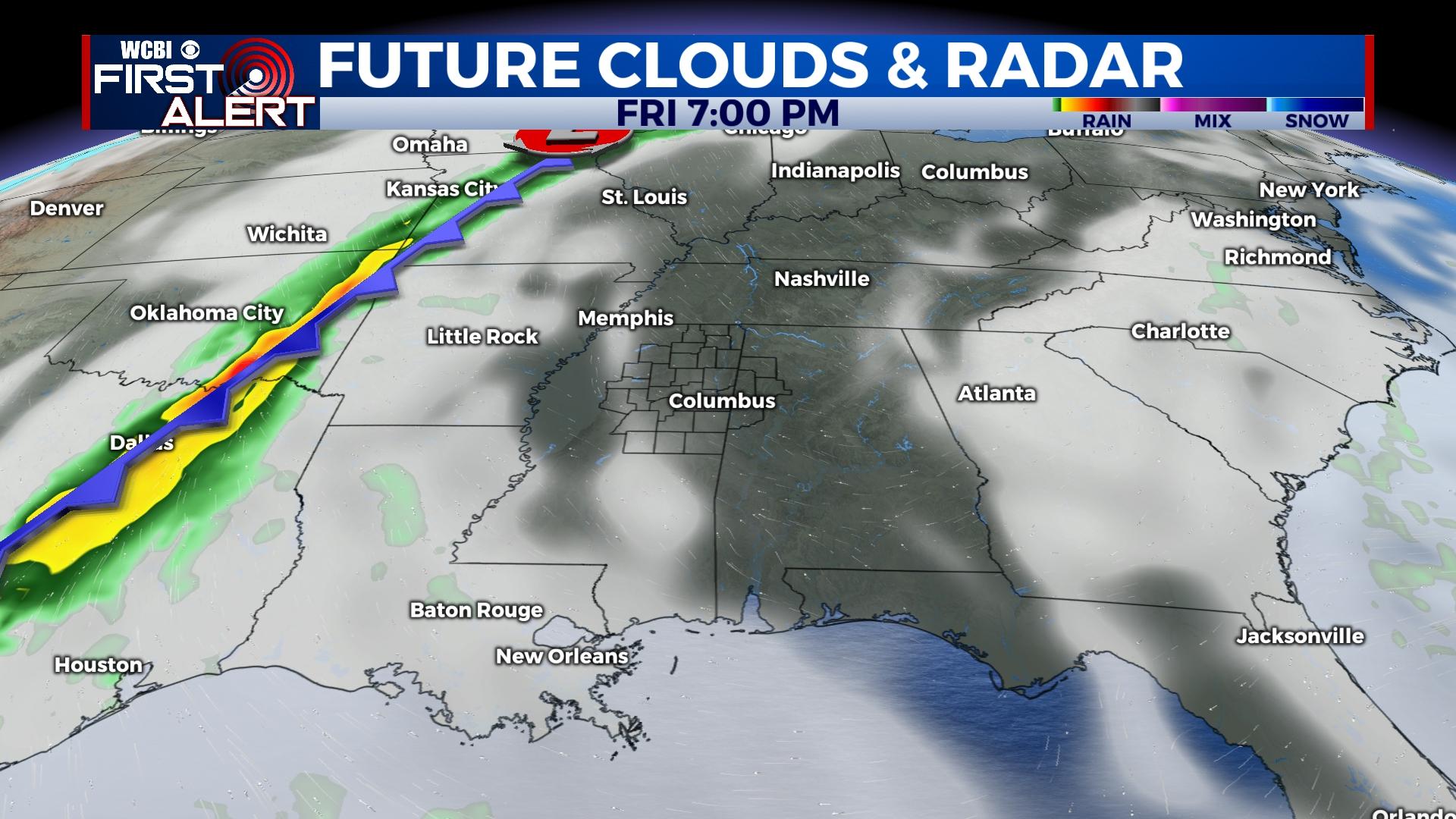
WEEKEND: A dynamic storm system still looks to send a weakening cold front in our direction Saturday. Timing continues to be uncertain, but rain chances are on the increase during the day. There could be a few severe storms west of I-55, but areas east of the interstate should remain storm free as instability decreases. Said front should stall, keeping clouds and scattered showers in the forecast into Sunday.
NEXT WEEK: Warm weather looks to stick around at least through Tuesday. Signs are a stronger front looms for the middle & end of next week which should help bring back November-like temps.


