Warmer air just in time for the weekend
COLUMBUS, Mississippi (WCBI) – Temperatures will trend several degrees above average over the next several days.
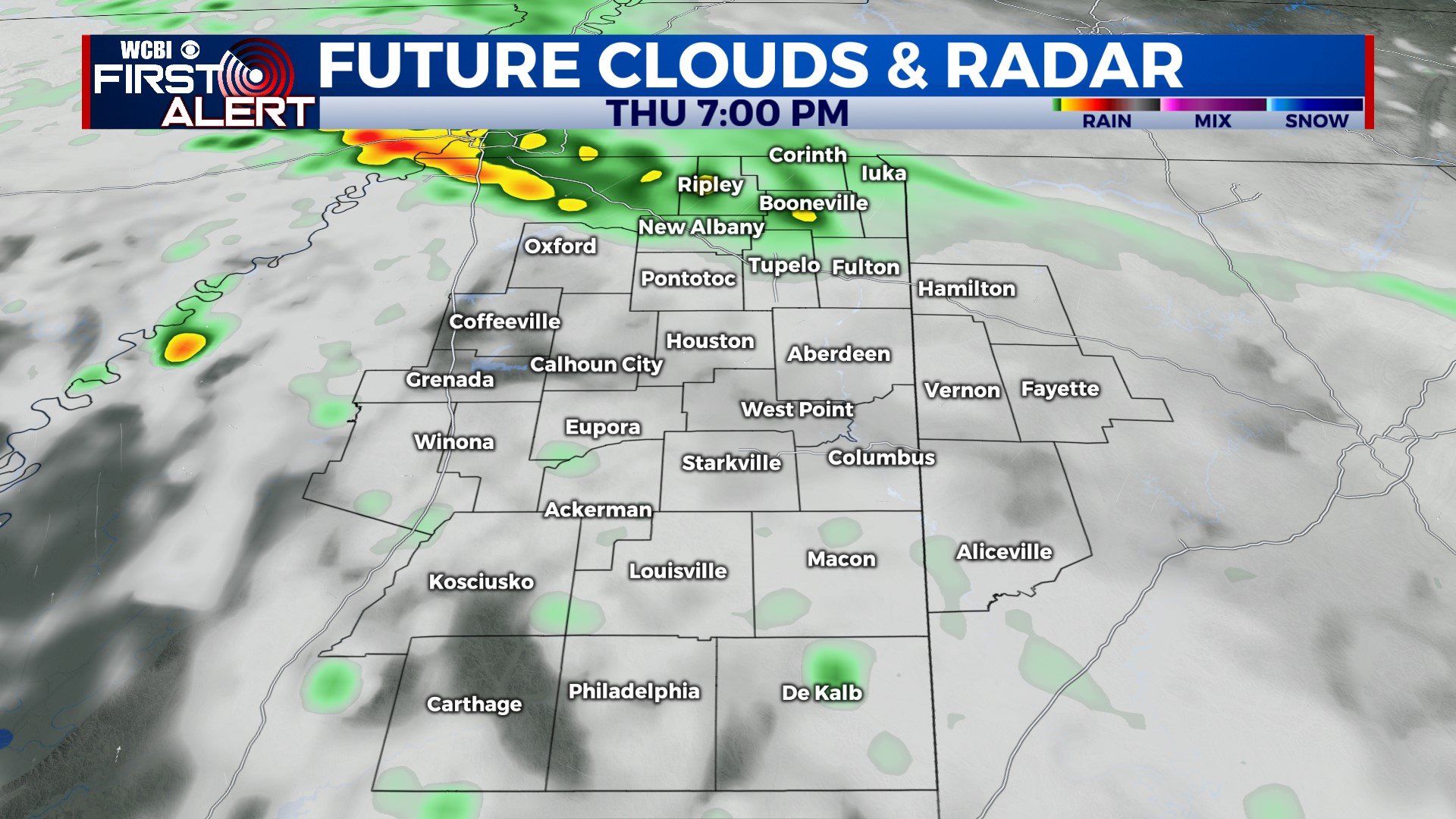
THURSDAY: Expect plenty of sun early in the day, with increased scattered cloud coverage by afternoon along a lingering, stalled front. Moisture remains lacking, so only isolated showers are possible this afternoon & evening. This front will be journeying northward by tonight as a warm front, ushering in warmer air for the weekend.
FRIDAY: Expect plenty of sun and scattered fair weather clouds through the day with a notable south PM breeze. Highs will easily reach the 80s, likely reaching the middle 80s for some.
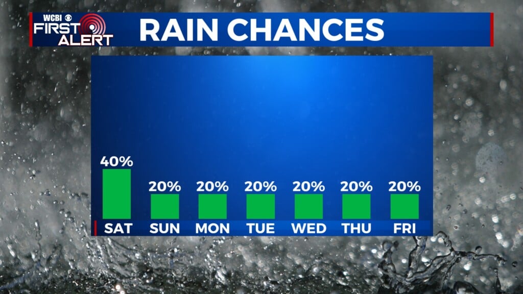
WEEKEND: Afternoon highs will remain in the middle 80s Saturday & Sunday with limited to no rain expected. There could be a rogue shower or two along the way, but interrupting-type rain is not expected.
NEXT WEEK: A stronger front will bring increased chances for showers and storms by Monday. Some of these could be locally strong to marginally severe, but the main concern will likely end up being heavy rain due to the slow-moving nature of the system. A few showers could linger into Tues/Weds.