Winter storm moving on in
SUMMARY: A very active forecast in store for us here in northern MS, with rain changing to snow late tonight and early tomorrow morning. Accumulations will be confined to northern and western areas. Snow will taper off early Sunday afternoon, with very cold temps Sunday night. Monday and Tuesday sunshine will return, with rain and milder temps for Wednesday. A reinforcing shot of arctic air will move in by the end of the week.
SATURDAY: A mild day in store, with a high in the upper 40s to low 50s across the area. AM showers will turn to widespread steady rain by the evening with falling temps. No major impacts today.
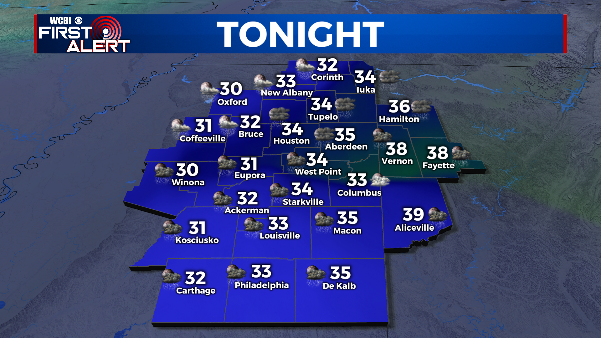
SATURDAY NIGHT: Rain will change to snow from NW to SE across the area late tonight as an area of low pressure moves by to our south. Northern and western areas see the best accumulations, with temps falling to right around the 32 degree mark across most of the area tomorrow morning.

SUNDAY WINTER WEATHER: Starting off Sunday, many of us will be dealing with falling snow. 2-4″ with higher amounts are expected from Tupelo northward, with higher totals also along I-55. There is still disagreement on where the heavy snow bands will set up, but the Golden Triangle area should avoid any major impacts. A dusting up to an inch at most is expected for Columbus for Sunday morning. Bridges and overpasses may be slick Sunday evening and night as cold air funnels in. This will not be a major event for west AL or the US-82 corridor.


SUNDAY NIGHT: Very cold temps and clearing skies will be in store Sunday night. Areas with snow on the ground will see the low 20s by Monday morning, with mid to upper 20s in areas with little snow. Any moisture on the roads will freeze, so stay off the roads Sunday night if possible! Melting will be quick on Monday with full sunshine.
NEW WORK WEEK: Monday will be quite sunny and cool, with highs in the mid to upper 40s. Any snow will quickly melt and roads will be OK after around 9am. Monday night will be cold once again, in the 20s. Tuesday we reach the 50s with lots of sun, ahead of another cold front for Wednesday. We’ll see temps in the 60s with rain ahead of the front on Wednesday afternoon. By Thursday we are very cold once again, with a high in the upper 30s. Cold weather will stick around through the end of the week with partly cloudy skies.
CONNECT WITH @WCBIWEATHER ON TWITTER, FACEBOOK, AND INSTAGRAM