Light rain on Friday then a super weather weekend
SUMMARY: More clouds and a few showers are possible Friday. Rainfall amounts less than a tenth of an inch are expected. The weekend continues to look super for us with more sunshine, especially on Sunday when temperatures warm back up into the 60s. A more powerful system will swing through the region Tuesday into Wednesday and it could produce heavier rain and even a few strong to severe storms.
FRIDAY: Mostly cloudy with another chance of scattered showers. Highs in the lower to mid 50s.
FRIDAY NIGHT: Mostly cloudy. Lows in the low 40s.
SATURDAY: Look for a cloudy start with even a few isolated showers. Becoming sunny by the afternoon. Highs in the middle to upper 50s. Upper 30s to around 40 Saturday night under mainly clear skies.
SATURDAY NIGHT: Mainly clear and quiet. Lows is in the 30s.
SUNDAY: Sunny skies and mild. High temperatures warming up into the 60s.
MONDAY: Increasing clouds. Some showers are possible late but most of the daylight hours should be dry. Highs in the mid 60s. Milder 50s Monday night.
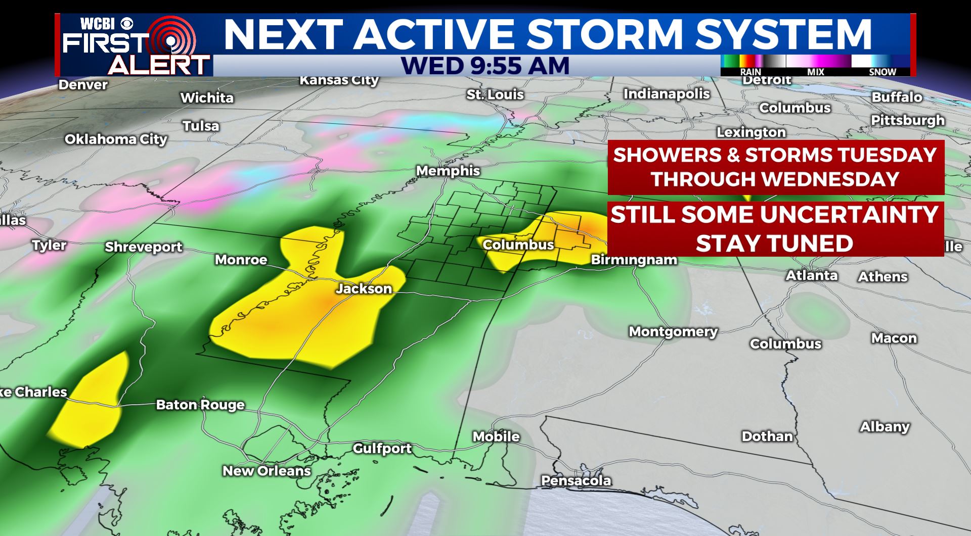
TUESDAY-WEDNESDAY: Rain and storms are likely. If there are any strong storms in the area the favored window of opportunity looks to be Tuesday night and early Wednesday morning. We’ll continue to adjust the forecast as new data arrive. Highs in the 60s to low 70s remain a possibility during this time period.
THURSDAY: A cool down is on the way for the region late week with highs Thursday only in the upper 40s with a mix of sun and clouds.
Stay connected with @WCBIWEATHER on Facebook, Twitter, Instagram and the WCBI News App.


Leave a Reply