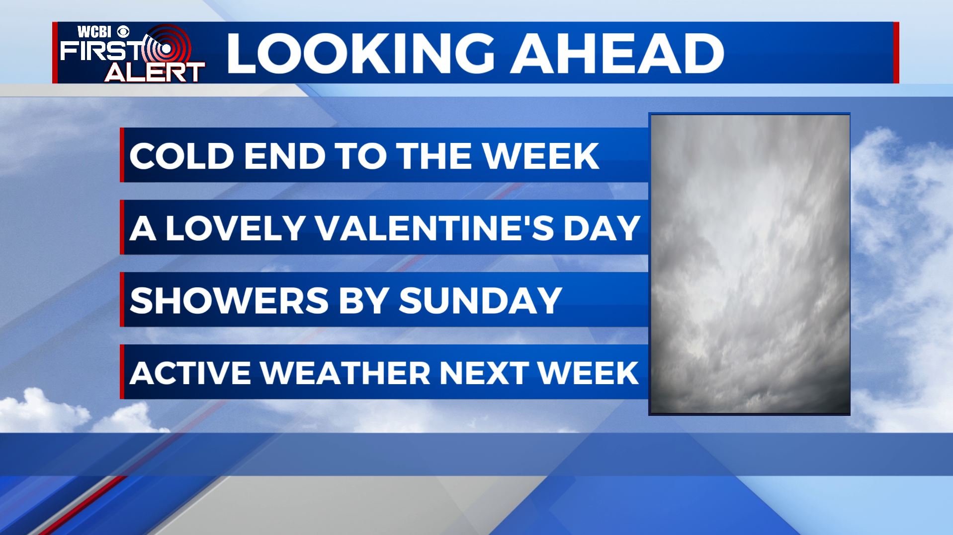
Cooler but drier weather moving in as we end the work week
SUMMARY: Cooler and drier air is slated to return for the end of the week. Valentine’s Day is looking lovely. A decent Saturday before a wet weather pattern returns by Sunday into early next week.
THURSDAY: Some lingering morning showers as our cold front moves away from us. Mostly cloudy for most of the day. Temperatures holding mainly in the 40s for most of the day. Gusty N winds 10-15 mph.
THURSDAY NIGHT: Clearing skies, breezy, and cold. Actual temperatures fall into the mid to upper 20s with wind chill values tumbling into the teens and low 20s. Winter coats will be a must Friday morning.
FRIDAY: A lovely Valentine’s Day. Sunny and dry. Chilly though with highs in the 40s. A northerly breeze will keep a winter chill going all day long. Baseball gets going at MSU and Ole Miss and the weather will be good, just cold. If you have dinner plans Friday evening, temperatures will drop to the 30s.
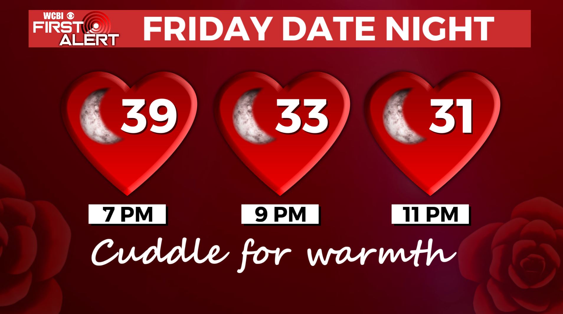
FRIDAY NIGHT: Clear and cold. Lows in the mid 20s.
SATURDAY: Mostly sunny. Highs in the mid to upper 50s.
SATURDAY NIGHT: Increasing clouds. Lows in the mid 40s.
SUNDAY: Mostly cloudy with the chance of showers. Highs in the low 60s.
MONDAY: Mostly cloudy. Showers possible. Highs in the mid 60s.
TUESDAY: Mostly cloudy. Areas of rain and storms are possible. Highs in the upper 60ss.
WEDNESDAY: Mostly cloudy with some lingering showers. Highs in the 40s. Lingering showers possible.
Follow @WCBIWEATHER on Facebook, Twitter, Instagram, and the WCBI News App


Leave a Reply