A cooler and quiet day for Wednesday
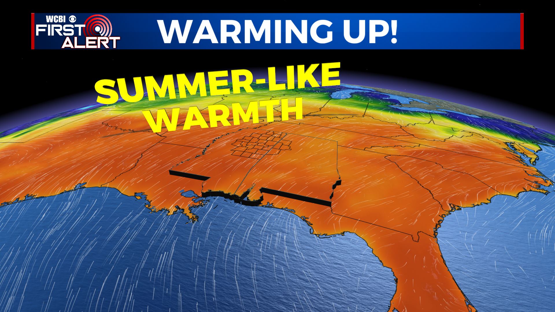
SUMMARY: Quiet, sunny and warmer weather looks to build back in for the middle to end of the work week. More storms possible on Saturday before another break Sunday into Monday. Cooler temperatures move back in next week.

WEDNESDAY: Some cloudy skies in the morning will make way for more sunshine in the afternoon as high pressure builds into the Mid South. Highs in the low 70s with a light northwest wind.
WEDNESDAY NIGHT: Clear and quiet. Cooler lows in the 50.
THURSDAY & FRIDAY: Lots of sunshine mixed in with a few clouds at times and warm. Highs well into the mid 80s as winds pick up from the south. Some new record highs can’t be ruled out. Overnight lows in the 60s.
SATURDAY: Staying warm with more highs in the lower 80s. Additional showers and storms are possible during the afternoon and evening with another cold front heading our way. Some strong to severe storms can’t be ruled out and it’s something we’re going to continue monitoring.
SUNDAY-MONDAY: High pressure will be moving back in, allowing for dry and mostly sunny conditions with a slight rain chance on Monday. High temperatures much cooler in the upper 60s to lower 70s.
TUESDAY: Mostly cloudy with chances for some scattered showers. Highs below average & cooler in the mid 60s.
Stay connected with @WCBIWEATHER on Facebook, Twitter, Instagram, and the WCBI News App


Leave a Reply