SUMMARY: Storm chances remain in the forecast for the rest of the work week and coming weekend. Several strong storm complex could roll into the region from the northwest Friday, Saturday, and Sunday so we’ll have to keep watching for that possibility. Heat indices may be in the 100-105+ range throughout the weekend outside of any storms that pop on up.
WEDNESDAY NIGHT: Variably cloudy with the chance of a few lingering showers. Lows in the low 70s with calm wind.
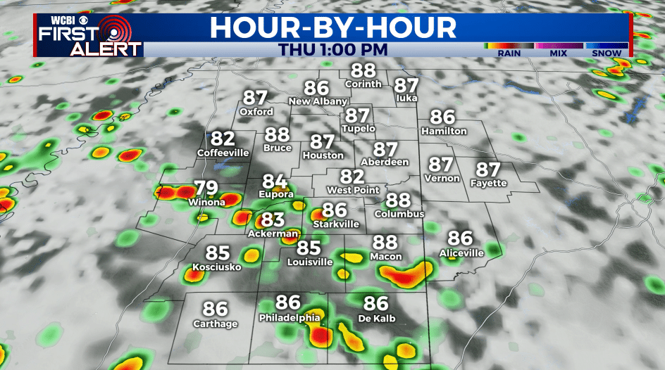
THURSDAY: Partly cloudy with a 40-50% chance of showers and storms. Highs in the upper 80s to around 90.
THURSDAY NIGHT: Partly cloudy with a chance of a few showers and storms. Lows in the low 70s.
FRIDAY-SUNDAY: Partly cloudy, warm, and humid. Highs in the low 90s with heat indices in the 100-105+ range during peak heating outside of any storms that develop. A daily 40-50% chance of showers and storms. A few strong storm complexes are also possible if they can drift down from the Plains.
EARLY NEXT WEEK: Rain chances dwindle to 20% or less as the region looks to dry out a bit. Highs remain in the low to mid 90s with lows in the low to mid 70s. Triple digit heat indices continue.
Follow @WCBIWEATHER on Facebook, Twitter, Instagram, and the WCBI News App


Leave a Reply