Severe storms through the evening
COLUMBUS, Mississippi (WCBI) – Severe potential continues through Tuesday evening. Calmer conditions rush in for the end of the week.
TUESDAY NIGHT: After 2 rounds of showers through the morning and afternoon, we are getting for round three. The main event. Along a strong cold front, the broken line of storms will be moving in and across northern Mississippi. NE MS is in a Level 3 – Enhanced Risk for severe weather throughout the rest of the evening. The timeline is approximately 5PM-12AM. All modes of severe weather will be possible – damaging wind, hail, and tornadoes are all possible within this time frame. Make sure to have multiple ways of receiving warnings! And stay safe.
WEDNESDAY: Early Wednesday morning, Tuesday night’s system will be pushing off to the SE portion of Alabama. This will allow for cooler and drier air to rush in behind the boundary. High temperatures will reach the low to middle 80s, with lows in the upper 50s.
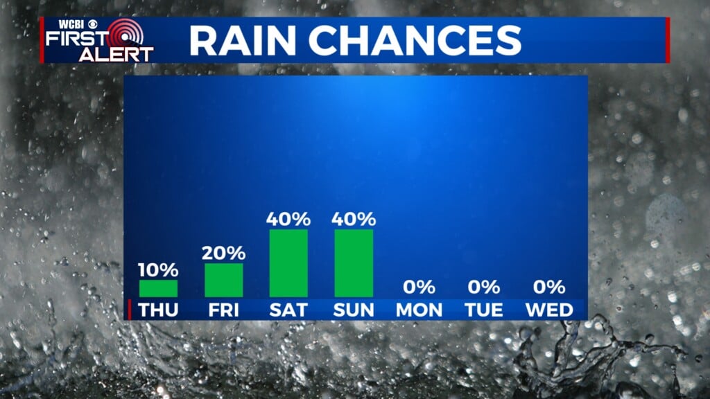
END OF WEEK: Expect clouds to lightly work their way back in on Thursday, with high temperatures in the middle 80s. There will be a partly to mostly cloudy sky Friday, with high temperatures reaching only the upper 70s. Overnight lows will be in the upper 50s. Rain chances return for the weekend.


