A decent Labor Day followed by a beautiful workweek ahead
SUMMARY: A cold front is pushing through our area this Monday morning, bringing us a few showers. Beautiful and drier weather is moving in and should stick around for the next week! Another cold front will push through the area late week, making it feel a bit more like fall for the end of the workweek. Stay tuned!
LABOR DAY MONDAY: A few lingering showers this Labor Day Monday morning as cold front pushes through. Expect skies to clear up with more sunshine by the afternoon. Slightly cooler temperatures behind the front as cooler, drier air filters in with highs in the lower to mid 80s. N to NE winds 5-10 mph.

MONDAY NIGHT: Mostly clear skies. A cool and comfortable night ahead with overnight lows in the mid 60s.
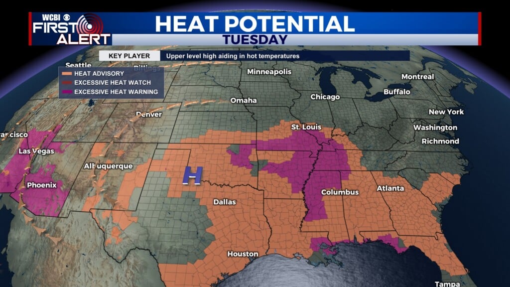
TUESDAY: Slightly warmer for Tuesday, but still pretty nice out there with a mix of sun & clouds. Highs topping out in the mid to upper 80s. A stray shower is possible.
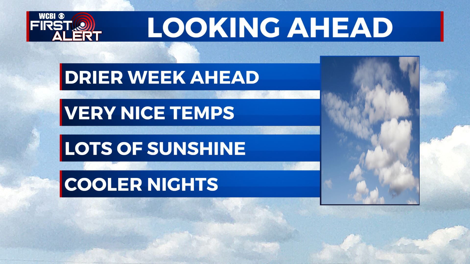
LATE WEEK: Wednesday also looks dry, but a bit warmer in the upper 80s. Another cold front moves through on Wednesday night. Expect lots of sunshine and much cooler temperatures with highs in the lower to mid 80s Thursday and Friday. Overnight lows in the upper 50s to lower 60s.
WEEKEND: Sunny skies for both Saturday and Sunday. Highs though will warm back up to near 90 degrees.
Stay connected with @WCBIWEATHER on Facebook, Twitter, Instagram, and the WCBI News App