Another muggy and rainy day for Thursday
SUMMARY: It’s still feeling a lot like summer out there and it will continue to stay that way through the Fourth of July holiday weekend. Staying hot & humid with highs in the lower 90s. We’ll have good chances of showers & storms on Thursday. The Fourth of July holiday weekend not looking to be a complete washout, but we’ll still have a few pop-up storms.
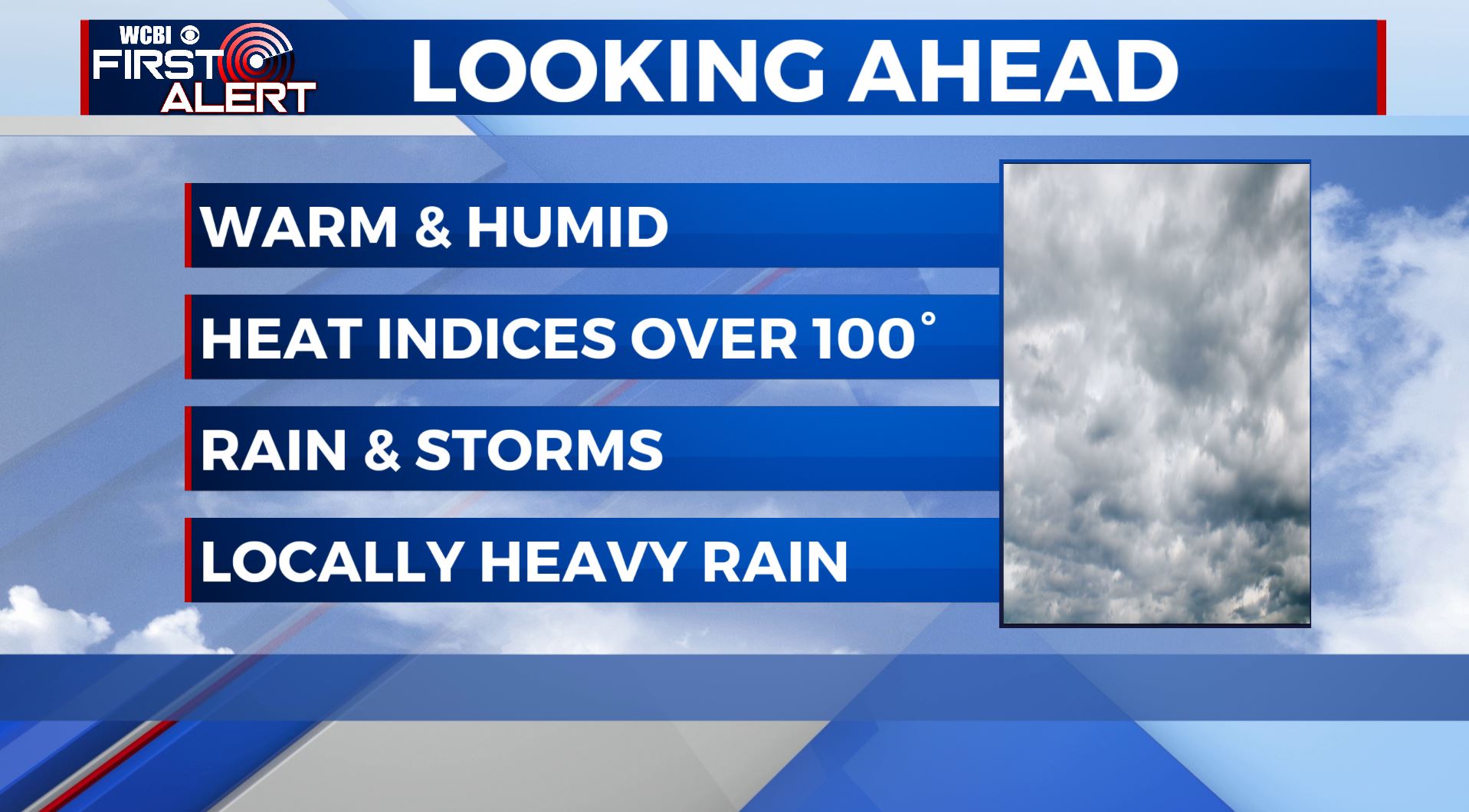
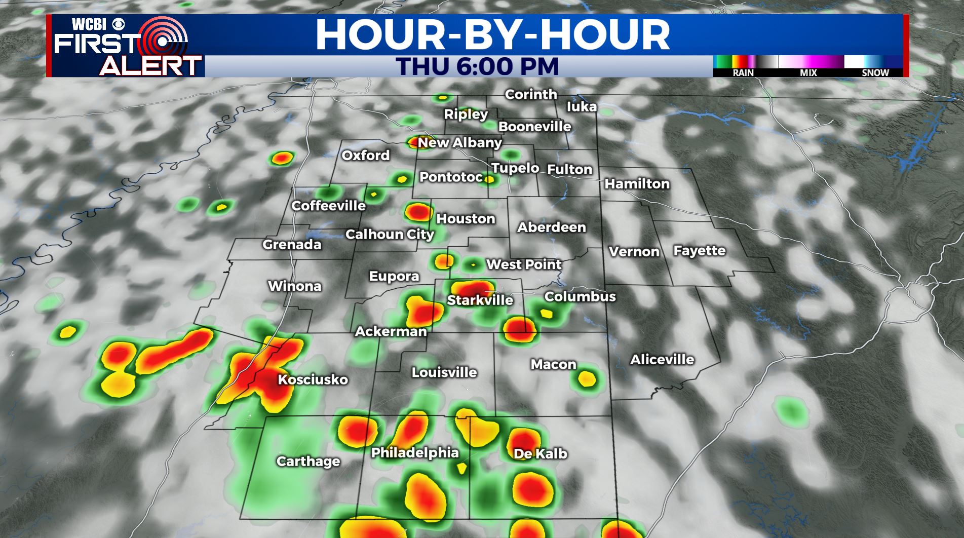
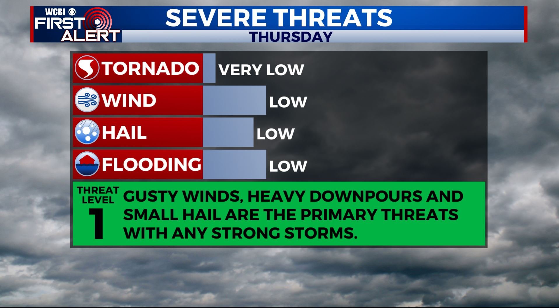
THURSDAY: Showers and storms are once again beginning to pop up this Thursday morning. Still hot and humid. Highs in the upper 80s to around 90 with heat indices getting into the upper 90s at times. There is still a likely chance of showers and storms throughout the day. Heavy rain may lead to flooding. There could also be some gusty winds and small hail with the strongest storms.
THURSDAY NIGHT: We’ll have partly cloudy skies after another round of showers and storms early in the evening. Overnight lows in the low 70s.
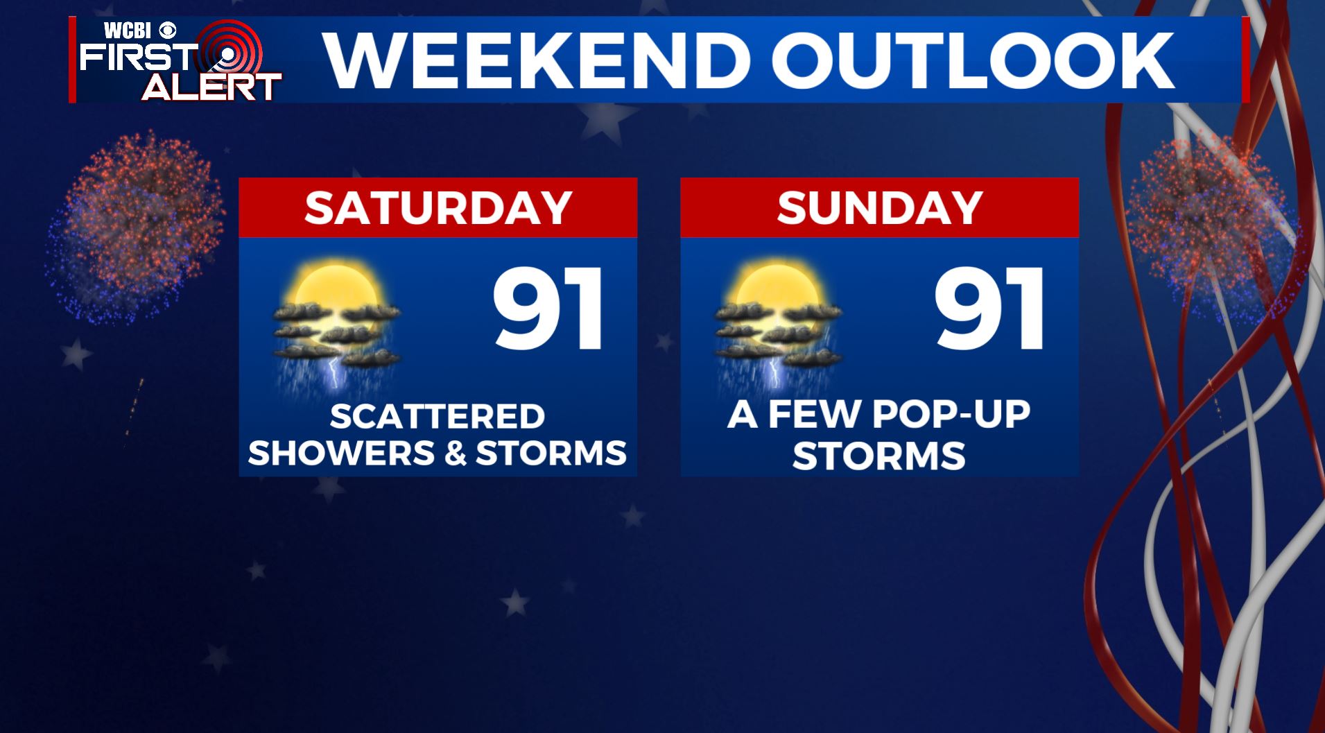
FRIDAY-SUNDAY: The long Fourth of July holiday weekend looks to feature typical summertime weather. Highs stay in the low to mid 90s with lows in the low 70s. Chances of a pop-up shower or storm in the afternoon hours, but not looking to be a complete washout so any outdoor weekend plans will be a go. But you may want to have a backup indoor plan just in case.
MONDAY-WEDNESDAY: A continuing chance of showers and storms for the first half of next week. High temperatures in the upper 80s to lower 90s.
Stay connected with @WCBIWEATHER on Facebook, Twitter, Instagram, and the WCBI News App


Leave a Reply