Another warm day ahead for our Wednesday
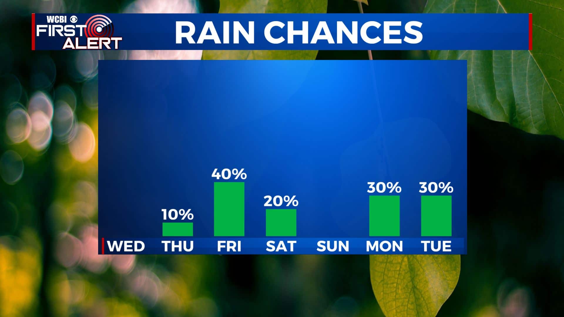
SUMMARY: The warm above average temperatures will continue through the end of the workweek. Rain chances will return Friday into Saturday as a weak cold front comes into the region. We’re continuing to watch the possibility for a stronger cold front by the middle of next week could usher in cooler air but it’s still uncertain.
WEDNESDAY: We’ll have mostly sunny skies again for your Wednesday. Highs in the mid 80s with a light SE wind.
WEDNESDAY NIGHT: Mostly clear skies, mild and quiet. Overnight lows in the 60s.
THURSDAY: We’ll still have some sunshine, but clouds will start to increase. Just a slight chance of a stray shower possible. Highs staying above average and warm in the mid 80s.
THURSDAY NIGHT: Mostly cloudy skies. Overnight lows in the 60s.
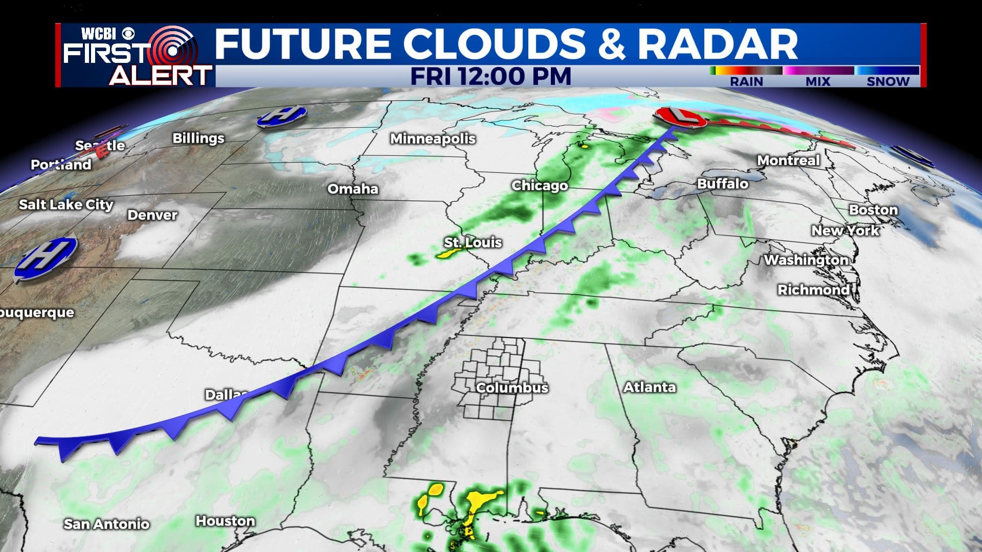
FRIDAY: Staying warm with highs around 80. Clouds continue to increase with a chance of rain. We’re not looking at a washout, but off-and-on showers are possible, maybe a few rumbles of thunder as well. We’re expecting our next cold front to move through Friday night that will help to clear much of the rain out before the weekend.
SATURDAY: A mix of sun & clouds. A few lingering isolated showers are possible early. Highs in the upper 70s to low 80s.
SUNDAY: A mix of sun & clouds. Warm. Highs in the lower 80s.
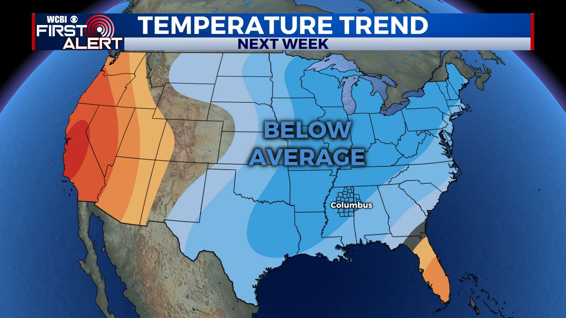
NEXT WEEK: Looking beyond the forecast, early indications are that another cold front will approach the area early next week and bring us another chance for rain and possibly a few storms. After that, it looks like we could be in for another cool down. Stay tuned!
Stay connected with @WCBIWEATHER on Facebook, Twitter, Instagram, and the WCBI News App


Leave a Reply