Another warm day for Thursday; Cold front on Friday
SUMMARY: Warm, late summer-like weather is on tap for the end of the workweek. Rain chances will return Friday into Saturday as a weak cold front pushes through. We’re continuing to watch the possibility for a stronger cold front next week that could usher in cooler fall-like air but it’s still uncertain.
THURSDAY: We’ll still have some sunshine, but clouds will start to increase. Just a slight chance of a stray shower possible. Highs staying above average and warm in the mid 80s.
THURSDAY NIGHT: Partly cloudy skies. Overnight lows in the 60s.
FRIDAY: Increasing clouds with a better chance of showers, maybe some rumbles of thunder. We’re expecting our next cold front to move through Friday night. Highs in the lower to mid 80s.
FRIDAY NIGHT: Partly to mostly cloudy. Some showers are still possible. Overnight lows in the 60s.
SATURDAY: A mix of sun and clouds. A few lingering showers are possible but the rain chance is very isolated. Highs in the upper 70s.
SUNDAY: A mix of sun and clouds.warm. Highs in the lower 80s.
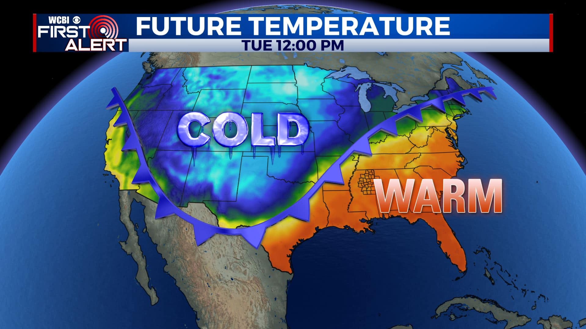
MONDAY-WEDNESDAY: Confidence is low due to data being all over the place with a possible pattern shift (or not). We’re going to keep mild air in the forecast along with the chance of some rain. Temperatures could trend colder but it’s too early to tell.
Stay connected with @WCBIWEATHER on Facebook, Twitter, Instagram, and the WCBI News App


Leave a Reply