Below average conditions coming back
SUMMARY: Below average weather is about ready to take over the region. We’ll have some rain and more clouds but the odds of any severe weather in our neck of the woods is pretty limited over the next 10+ days.
MONDAY NIGHT: Partly cloudy. Lows in the 50s. Calm wind.
TUESDAY: Sun & clouds. Staying warm with highs in the low 80s. Southerly winds 5-10 mph.
TUESDAY NIGHT: Mostly cloudy with some rain developing. Lows in the mid to upper 50s.
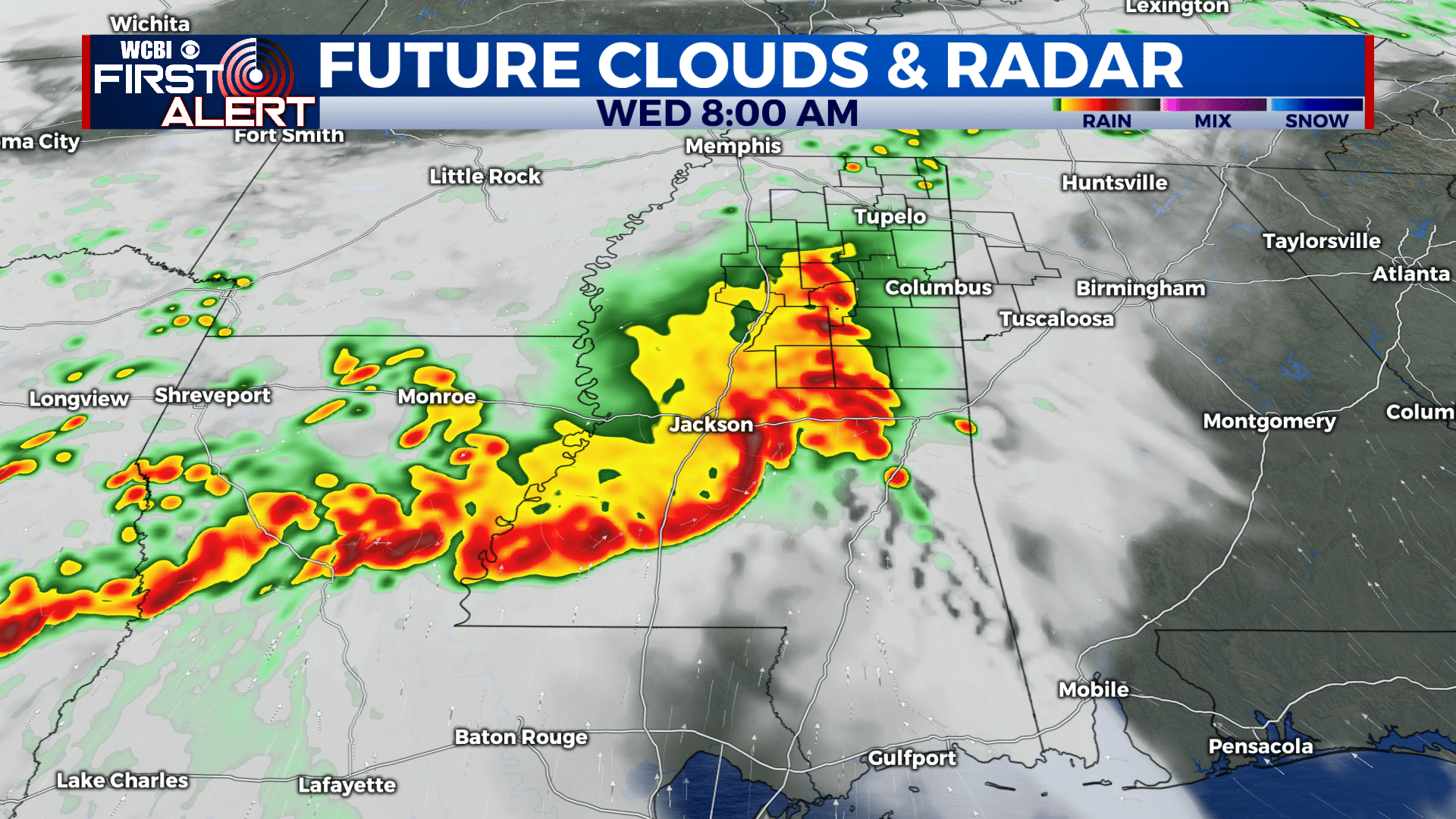
WEDNESDAY: Areas of rain with some thunder and lightning possible. The heaviest activity looks like it will be confined to central and southern Mississippi. Highs in the upper 60s.
WEDNESDAY NIGHT: Mostly cloudy with some rain possible. Lows in the upper 40s.
THURSDAY: Mostly cloudy. A few early day showers could occur. Highs mid to upper 60s.
FRIDAY-SUNDAY: Staying cool with highs mainly in the mid to upper 60s. Lows in the 40s. Partly to mostly cloudy skies with just a 20% chance of showers.
Follow @WCBIWEATHER on Facebook, Twitter, Instagram, and the WCBI News App


Leave a Reply