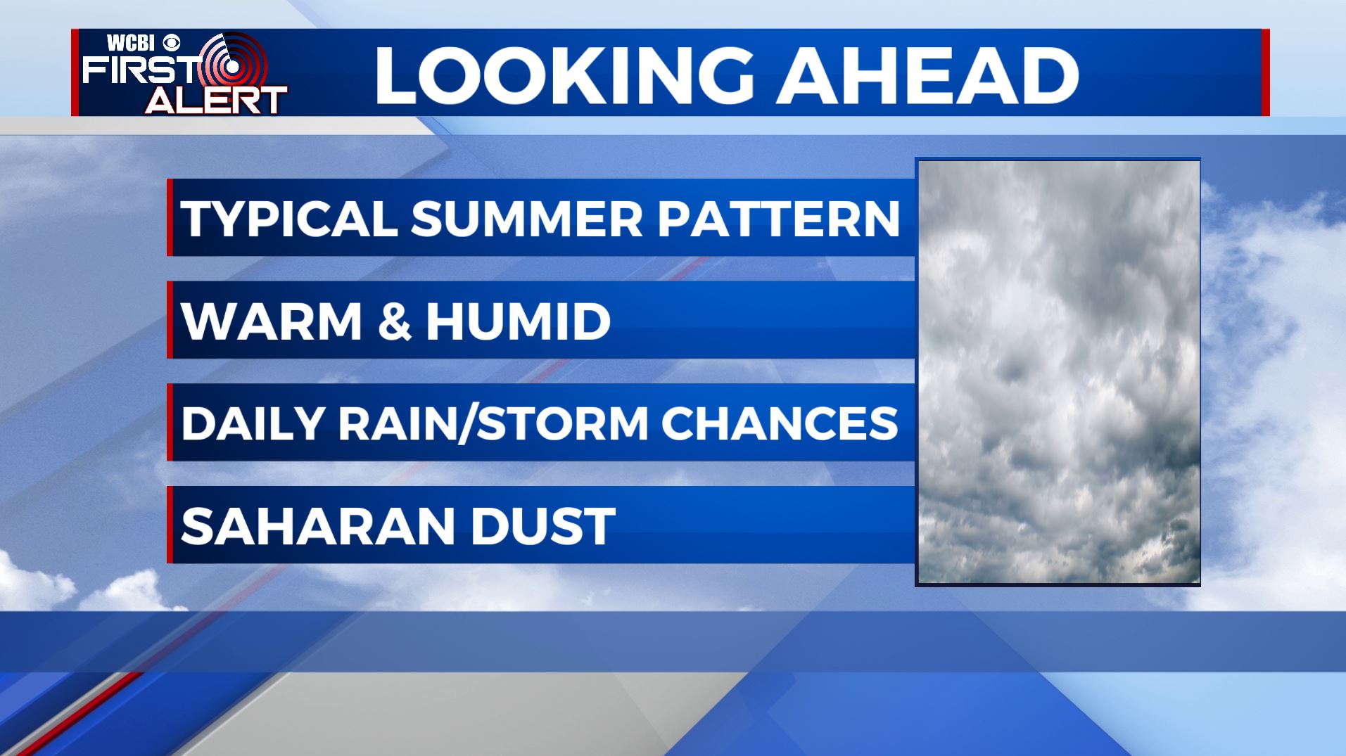
Back to a typical summertime weather pattern
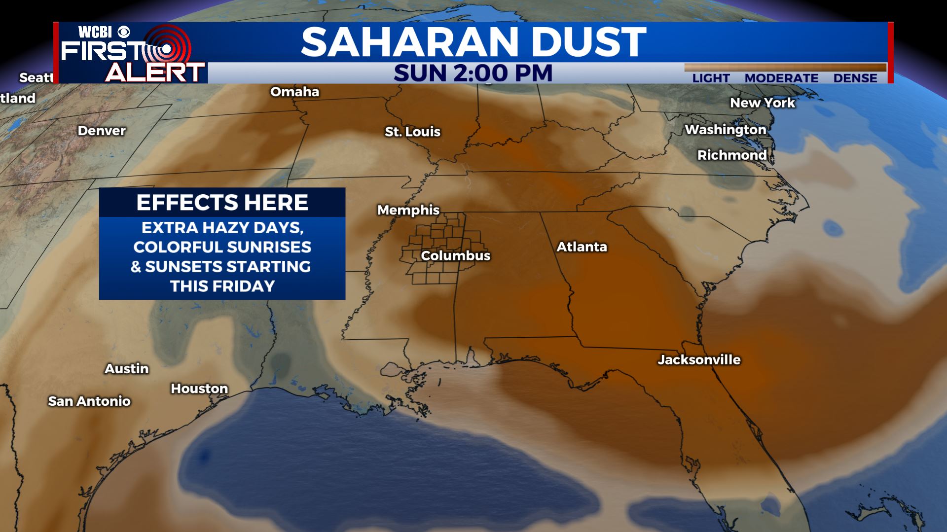
SUMMARY: Expect a typical summertime pattern of a mix of sun & clouds followed by daily afternoon chances of showers and storms heading into the weekend. Temperatures will remain warm & humid with highs in the upper 80s to near 90 degrees. We’ll also have some Saharan Dust move in from the Caribbean and the Gulf by Friday morning. That’s when we may see more colorful sunrises/sunsets, but also some hazy days.
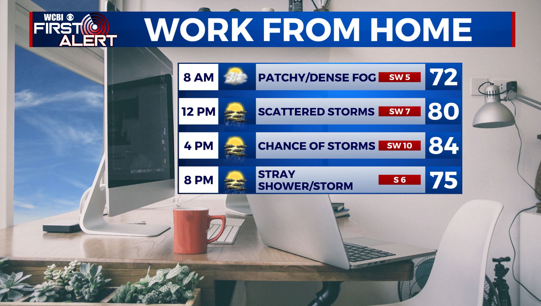
THURSDAY: We’re waking up to some patchy to dense fog & low overcast skies this Thursday morning. We’ll have once again rain and storms chances as a stalled out front moves south of our area. Highs will remain in the mid 80s. Winds SW 5-10 mph.
THURSDAY NIGHT: Mostly cloudy skies overnight after a stray shower or storm during the early evening hours. Lows in the upper 60s.
FRIDAY: A mix of sun & clouds. A chance of afternoon pop-up scattered showers and storms. Highs in the mid to upper 80s. Winds SW 5-10 mph.
FRIDAY NIGHT: Mostly cloudy skies. Overnight lows near 70.
SATURDAY-WEDNESDAY: Staying partly sunny, warm, and humid. High temperatures will be ranging from the upper 80s to lower 90s. Overnight lows in the lower 70s. We’ll still have a chance of scattered pop-up showers and storms in the afternoon when the daytime heating is at its peak. Not everyone will see rain or storms everyday.
Stay connected with @WCBIWEATHER on Facebook, Twitter, Instagram, and the WCBI News App


Leave a Reply