Brighter next few days, rain late-week
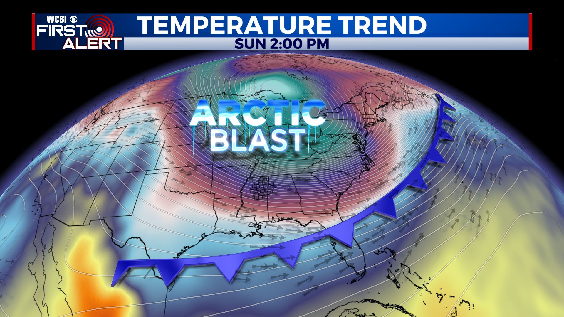
SUMMARY: High pressure will allow sunshine to return as we get into our Tuesday and Wednesday, however, it’ll be short lived. More rain (but no severe weather) is likely late Thursday into Friday with the next cold front. We continue to monitor the potential for a blast of Arctic air by Sunday and next Monday.
MONDAY NIGHT: Mostly cloudy early with some gradual clearing possible. Lows in the upper 20s with wind chill values in the mid/low 20s. Winds taper into the 5-15 mph range.
TUESDAY: Developing sunshine. Highs in the upper 40s. Winds NW 10-15 mph.
TUESDAY NIGHT: Clear and cold. Lows in the mid 20s.
WEDNESDAY: Sunny. Highs in the low to mid 50s.
WEDNESDAY NIGHT: A few clouds. Lows in the mid 30s.
THURSDAY: Mostly cloudy, breezy, and milder. Highs in the low 60s. Some late afternoon and evening rain is possible.
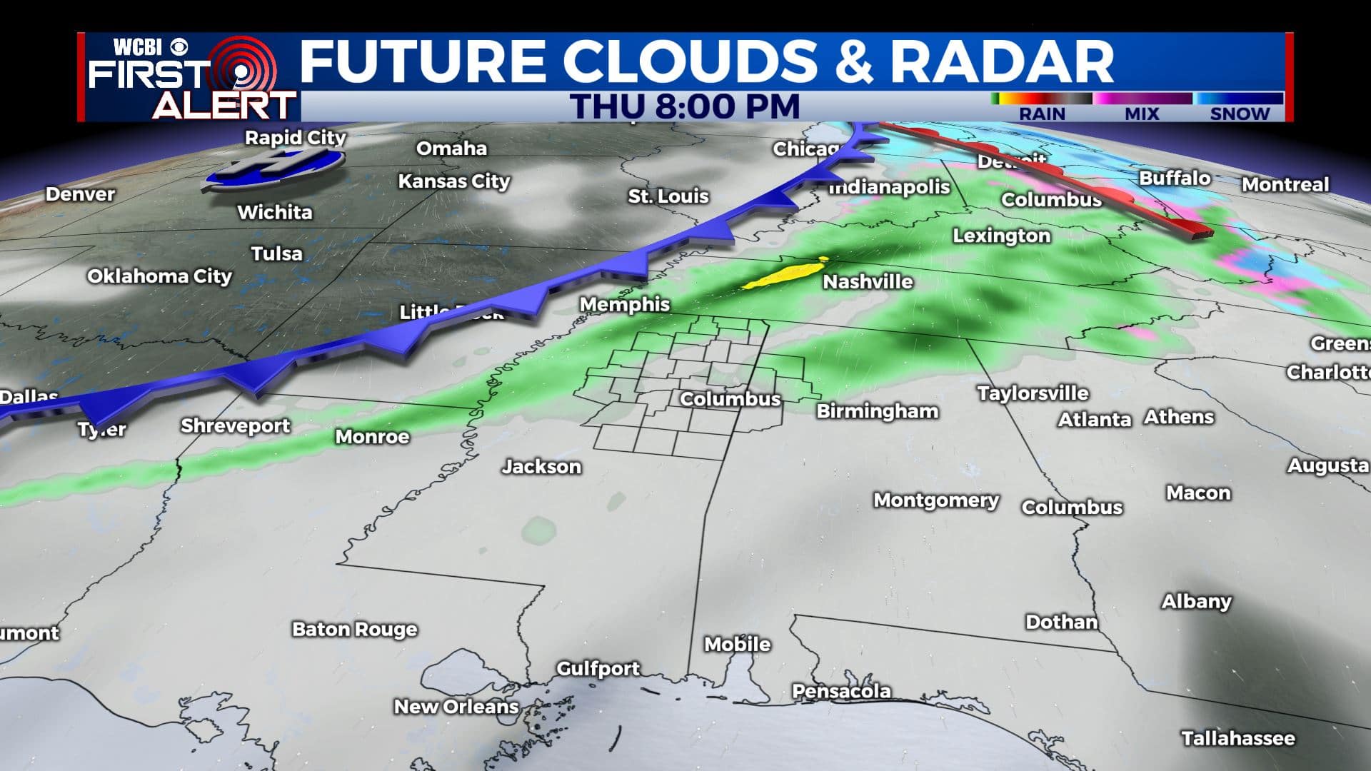
THURSDAY NIGHT: Cloudy with areas of rain. Lows in the upper 40s.
FRIDAY: Mostly cloudy with areas of rain. Highs near 50.
SATURDAY: Mostly cloudy. Highs in the low 50s.
SUNDAY: Turning much colder. Highs in the mid 30s.
Follow @WCBIWEATHER on Facebook, Twitter, Instagram, and the WCBI News App


Leave a Reply