Clouds move in for Thursday then rain & storm chances this weekend
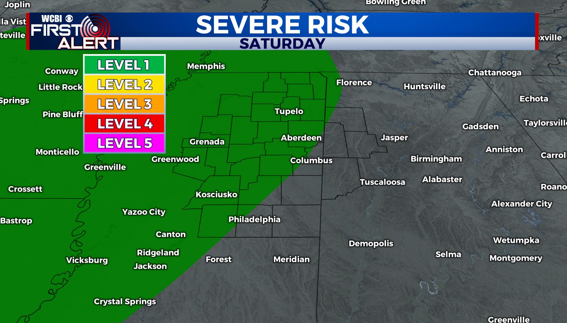
SUMMARY: After a warm & beautiful Christmas holiday, changes in our weather will start moving back in as we end the week and head into the weekend. Expect more clouds to return Thursday into Friday, but we’ll stay dry for the most part. Our next best chance of rain, even thunderstorms, will be Saturday afternoon through Sunday. There is the potential for some strong storms Saturday night into Sunday morning if the atmosphere can become unstable enough. As of right now we’re at a Level 1. We’ll have to watch it. We can expect rainfall amounts to be anywhere form 1/2” to over 2” of rain this weekend.
THURSDAY: Clouds moving back in. Highs remain above average in the middle 60s with a SE wind at 5-10 mph.
THURSDAY NIGHT: Cloudy skies. Lows in the lower 50s with a calm wind.
FRIDAY: Mostly cloudy with an isolated chance for a few showers in the afternoon. Highs in the middle 60s with a light SE wind. Overnight lows in the middle 50s.
SATURDAY: Scattered rain chances in the afternoon. Highs in the upper 60s.
SATURDAY NIGHT-SUNDAY AM: Rain and thunderstorms are likely. Some stronger storms could develop if we can get enough instability, but it’s still uncertain. Something we’ll continue to watch. Overnight lows in the upper 50s.
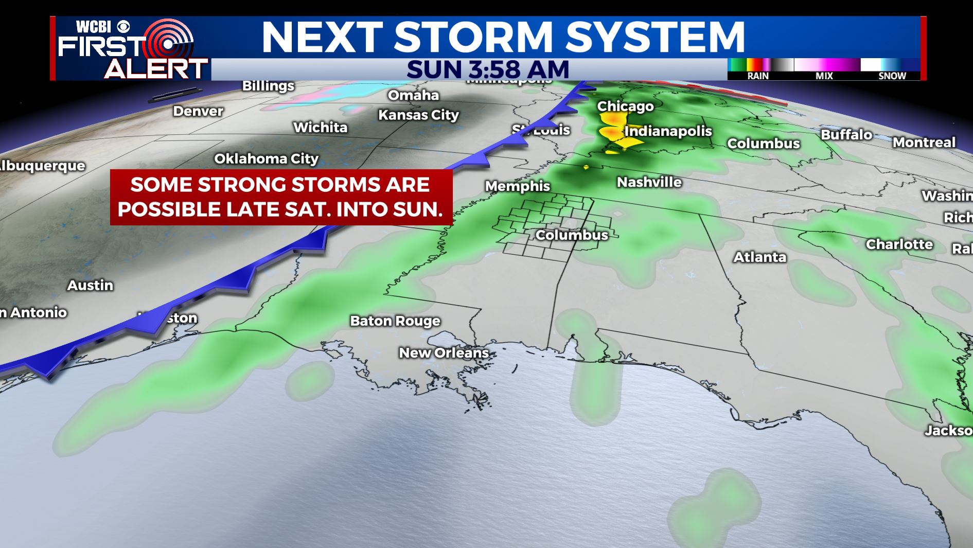
SUNDAY: Widespread rain and thunderstorms. Rain may be heavy at times, especially during the first 1/2 of the day. Highs in the lower 60s. Total weekend rainfall amounts between 1/2” and 2” or more.
MONDAY-TUESDAY: As we wrap up 2019, cooler and drier weather returns along with the sunshine. Highs fall back near average into the lower 50s. Overnight lows in the 30s.
NEW YEAR’S DAY: Clouds move back in once again with scattered showers developing. High temperatures remain in the lower 50s.
Follow @WCBIWEATHER on Facebook, Twitter, Instagram, and the WCBI News app


Leave a Reply