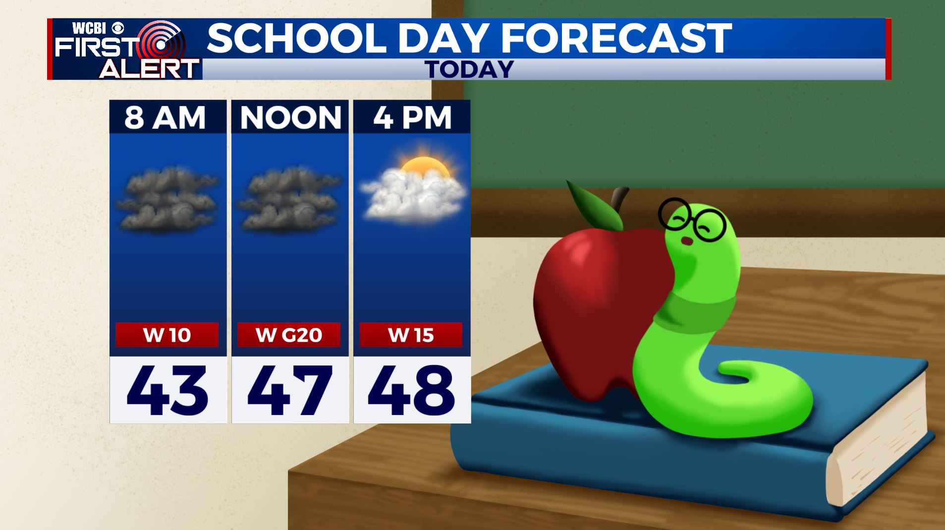
Cloudy and breezy Friday followed by a really nice Saturday
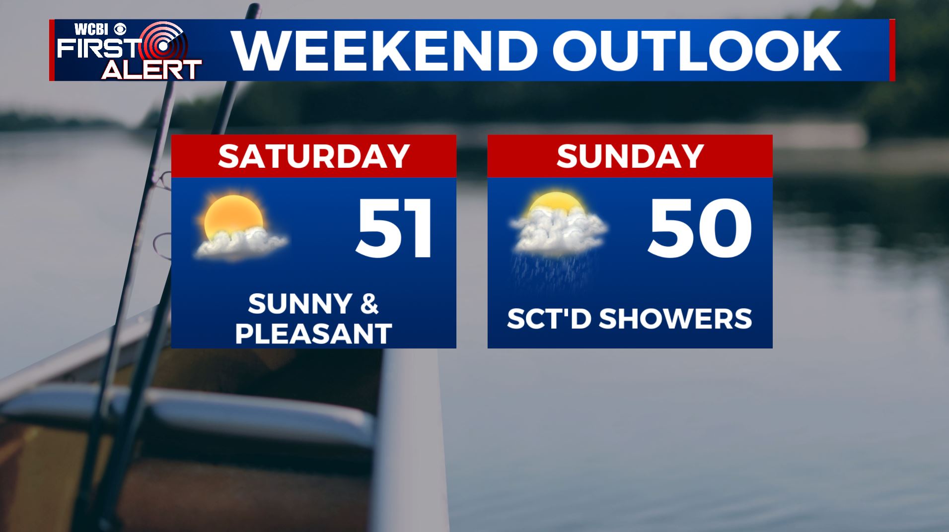
SATURDAY: A mostly sunny and pleasant day is ahead with temperatures near average in the lower 50s. Light winds.
SATURDAY NIGHT: Clouds start building back in. Overnight lows in the mid 30s.
SUNDAY: There’s a chance we could see a few scattered showers on Sunday as another system pushes through to our south with partly sunny skies. Highs in the mid 50s. Overnight lows lower 40s.
MONDAY & TUESDAY: A mix of sun and clouds. Highs warming up into the mid to upper 50s with overnight lows moderating back into the lower 40s. A slight chance of rain could move in Tuesday night ahead of our next storm system.
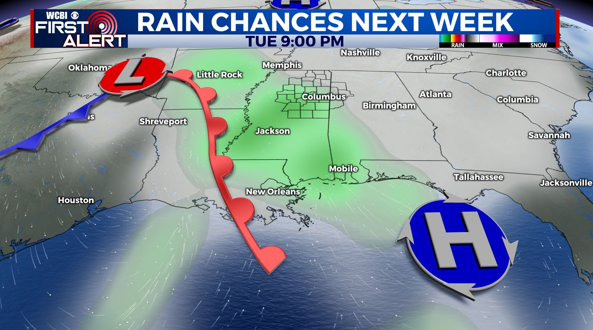
WEDNESDAY: More rain chances are possible. High temperatures remains in the lower 60s.
THURSDAY: Partly sunny skies with a stray shower or two. Highs in the mid 50s.
Stay connected with @WCBIWEATHER on Facebook, Twitter, Instagram and the WCBI News App.


Leave a Reply