Cold front double threat to sweep through area next week
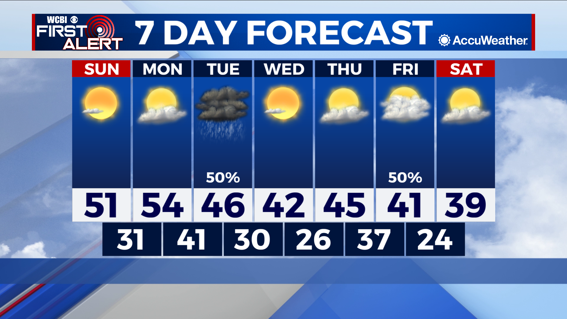
COLUMBUS – SUMMARY: Some warming early next week stalls on Tuesday as the first of two cold fronts moves through the region. Temperatures stay within the 40s thereafter and lows continue to dip into the mid 20s. Thankfully the only rain makers this week are associated with the front on Tuesday and the front on Saturday. Mostly clear skies and dry conditions prevail during all other times of the week.
SUNDAY: Relatively clear skies on our Sunday mean that some warming will occur over what we have seen temperature-wise over the past few days. Highs reach into the low 50s and lows increase into the low 30s. Dry skies accompany Sunday’s chilly conditions.
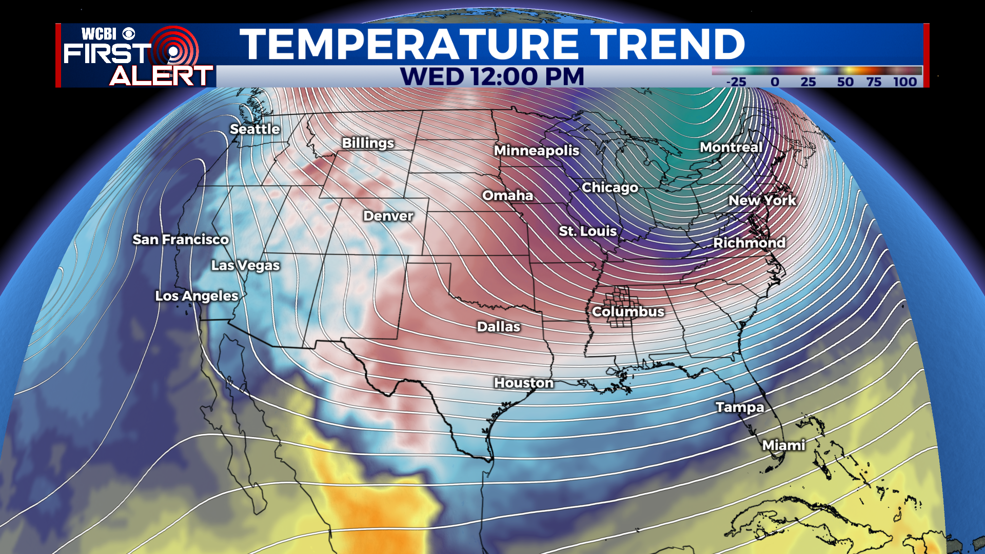
NEXT WEEK: The slight warming trend will continue into Monday, finally reaching a maximum in the mid 50s. Another strong cold front on Tuesday brings the arctic air back into the area along with an elevated chance for rain. Skies clear up again Wednesday and Thursday but there will be little time for warming before the double whammy of a cold front swings on through on our Friday. Once again, Friday’s front will bring an elevated rain chance to the region. Lows cool down after both fronts into the mid 20s, as we remain below freezing for most of the week.


Leave a Reply