Cold Tonight, More Sun Thursday
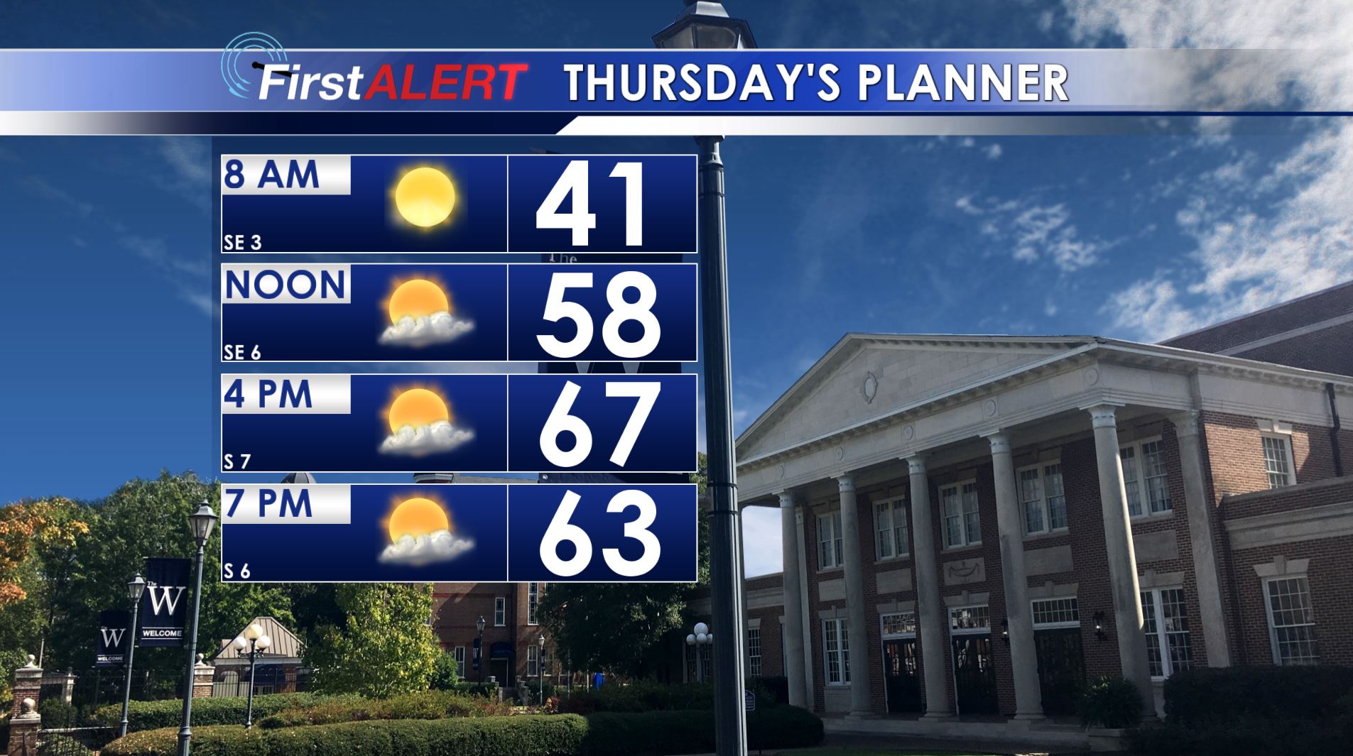
Thursday’s Planner
WEDNESDAY NIGHT: Clear, calm, and cold. Lows in the low 30s. A frost or light freeze is possible so protect tender vegetation.
THURSDAY: Mostly sunny with highs in the mid to upper 60s. Southerly winds between 5 and 10 mph.
FRIDAY: Increasing clouds with rain and storm chances during the afternoon and evening. Highs in the lower 70s. A few locally strong storms with gusty winds are possible during the evening.
SATURDAY: Rain showers and clouds during the morning should yield to mostly sunny skies during the afternoon. Highs in the mid 50s. A frost or light freeze is possible again Saturday night with expected lows in the mid to low 30s.
SUNDAY: Mostly sunny and pleasant. Highs in the mid to upper 60s.
MONDAY: Passing showers and storms are possible. The chance of rain is 40%. Highs in the 60s.
TUESDAY: Mostly sunny. Highs in the 60s.
Follow @WCBIWEATHER on Facebook, Twitter, Snapchat, and Instagram


Leave a Reply