Colder and more unsettled later this week
SUMMARY: We are watching 2 disturbances over the next week that will give us some rain and perhaps even some snow if conditions line up. The first will come Wednesday night into Thursday, mainly as a rain producer. The second feature for late Sunday and Monday could offer a better chance at accumulating snow. We’ll continue to monitor things over the coming days to see how things evolve. Snow in the Deep South is rare so don’t get your hopes up just yet.
MONDAY NIGHT: A few clouds. Lows in the mid 30s. Winds WSW/NW 3-7 mph.
TUESDAY: Sun & clouds. Highs in the low to mid 50s. Winds NW 5-10 mph.
TUESDAY NIGHT: Clear and chilly. Lows in the upper 20s. Light wind.
WEDNESDAY: Increasing clouds. A chance of rain developing during the evening. Highs in the mid 50s. Winds SE 5-10 mph.
WEDNESDAY NIGHT: Cloudy with areas of rain. Lows around 40.
THURSDAY: Mostly cloudy with scattered rain showers. Highs in the upper 40s.
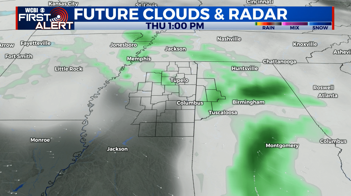
THURSDAY NIGHT: Mostly cloudy. Some lingering rain is possible, perhaps even a few snow showers. No impacts or issues if there are flakes with lows in the upper 30s.
FRIDAY: Turning partly cloudy. Highs in the mid to upper 40s. Lows around 30 Friday night.
SATURDAY: Mostly sunny. Highs in the mid to upper 40s. Lows around 30 Saturday night.
SUNDAY: Increasing clouds. Afternoon and evening rain is likely. Highs the mid 40s.
SUNDAY NIGHT: Areas of rain and snow possible. Lows around 32.
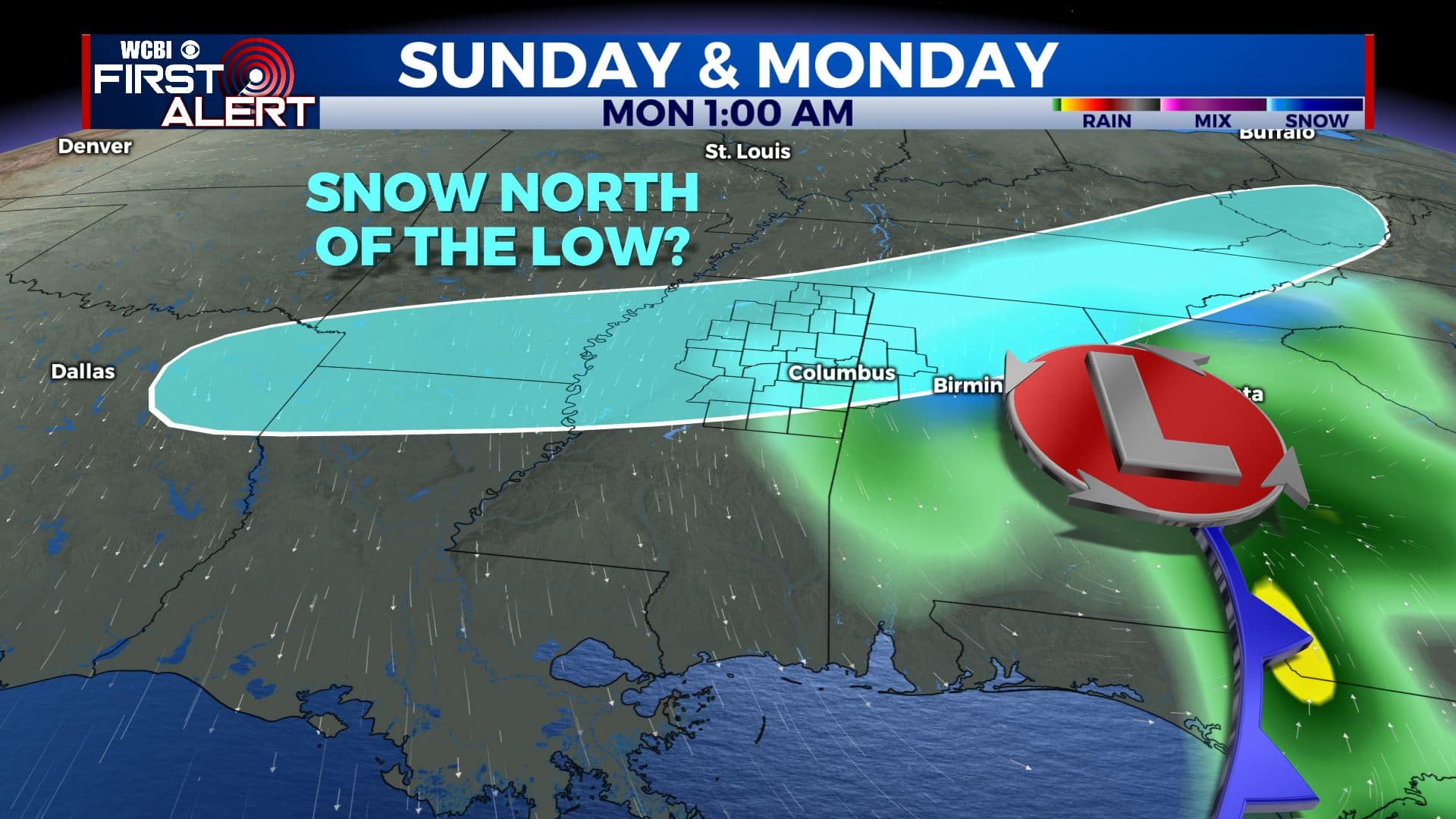
MONDAY: Areas of morning snow then partly cloudy. Highs in the upper 30s to low 40s.
Follow @WCBIWEATHER on Facebook, Twitter, Instagram, and the WCBI News App


Leave a Reply