Comfortable temperatures precede late-weekend cold front
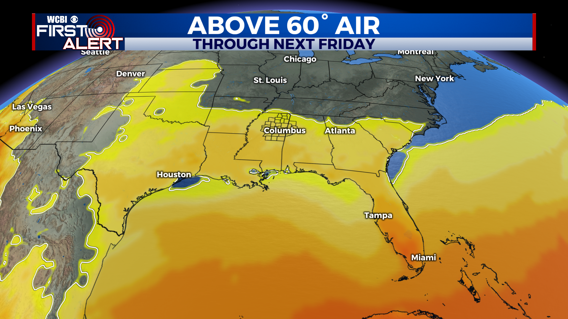
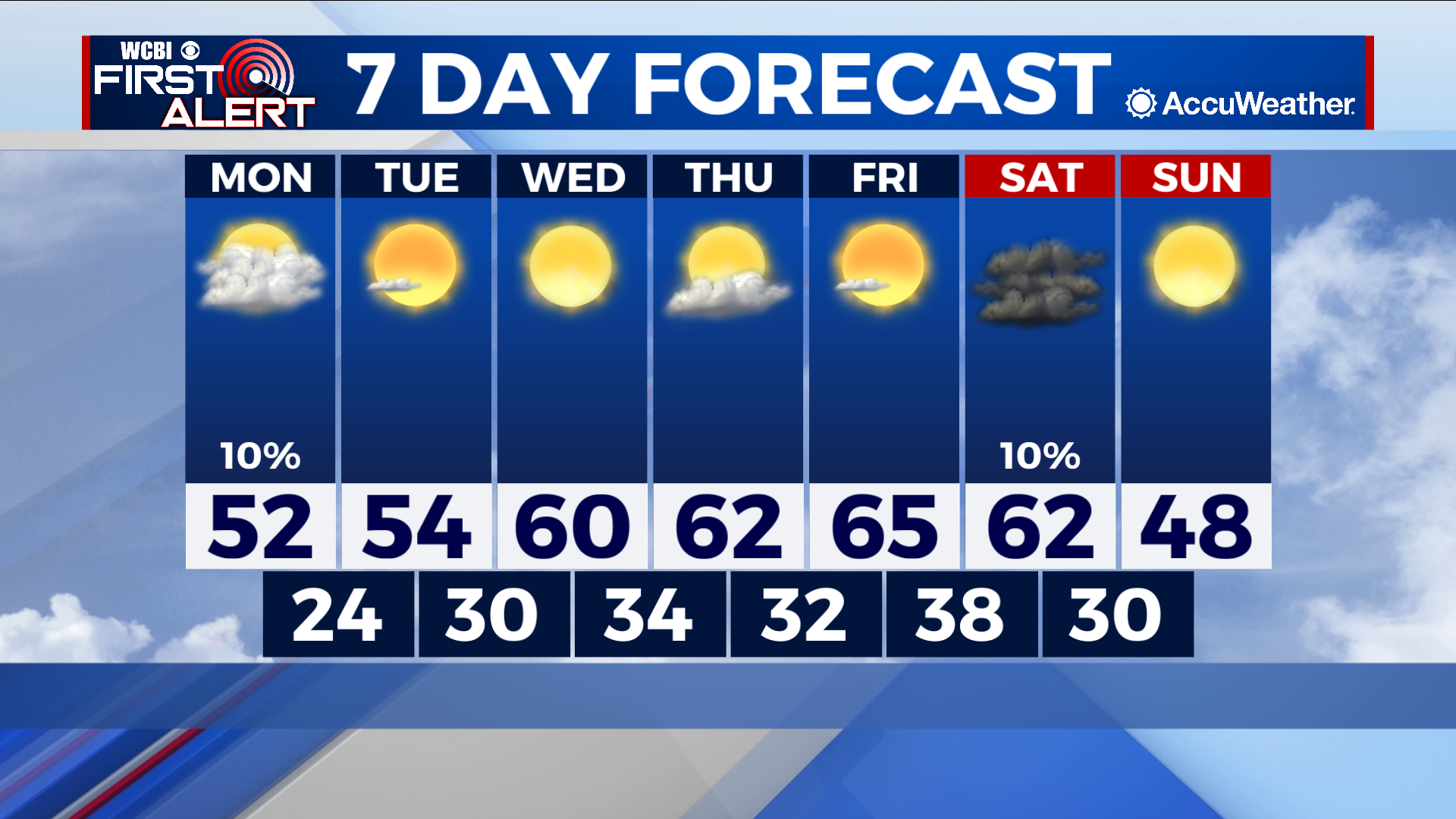
COLUMBUS – SUMMARY: Mostly dry and sunny conditions bring a welcome change into the Northeast Mississippi area. Highs jump into the mid 60s by our Friday before a cold front on our Saturday brings us back to reality. Lows do not follow the same path and linger in the 30s throughout the week.
MONDAY: Highs in the 50s accompany a somewhat more dreary day with clouds returning in force. Rain chances remain at a minimum and the most that could be expected would be the stray shower. Lows slide into the mid to low 20s overnight.
TUESDAY: Slight improvement Tuesday leaves us with highs near the mid 50s. Lows similarly improve into the low 30s albeit remaining below freezing. Skies look much clearer however, giving us something to enjoy on what will be a seasonable day.
REST OF THE WEEK: Highs continue to improve into the mid 60s through Friday thanks to plentiful sunshine and the aforementioned dry conditions. A weekend cold front does rain on our parade however, and lows drop back into the 40s on our Sunday. Rain chances with the front remain minimal at the moment but we will keep you updated on the situation as it evolves. Lows improve slowly throughout the week but will struggle to break into the 40s before our cold front drops lows back below freezing.


Leave a Reply