Cool Wednesday
SUMMARY: A quick moving weather maker will give us cool, showery, and breezy conditions on Wednesday. Pretty nice weather sets up for the end of the work week and for the upcoming weekend with gradually moderating temperatures. Early next week looks to be mild but rain and storms chances will be going back up. There could be more strong to severe storms in the region next Tuesday or Wednesday.
TUESDAY NIGHT: Variably cloudy during the evening with increasing clouds and the chance of showers by daybreak. Lows in the mid 40s.
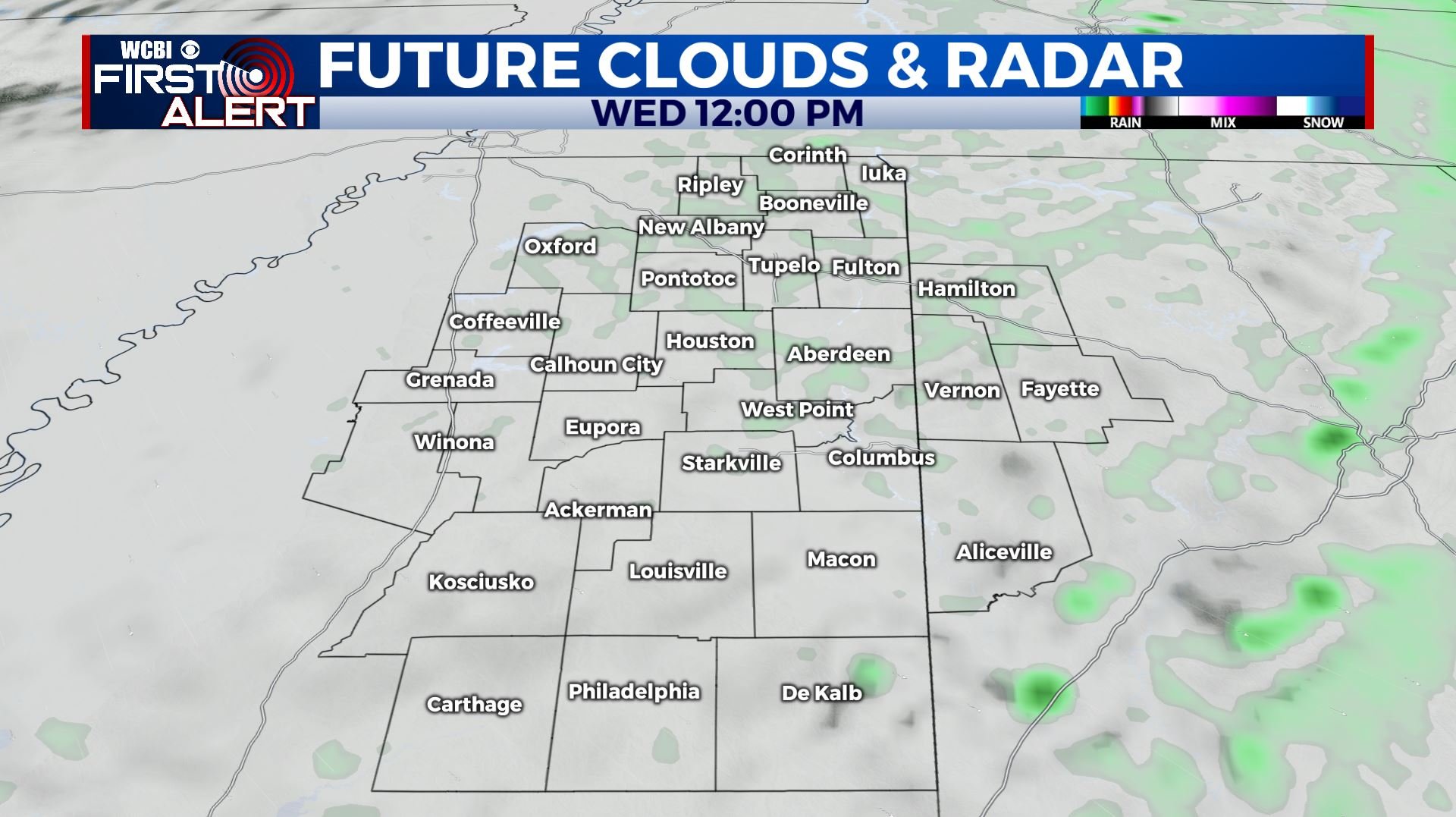
WEDNESDAY: Mostly cloudy, breezy, and cool. A 60% chance of showers. Highs in the mid to upper 40s.
WEDNESDAY NIGHT: Gradual clearing. Much colder lows in the upper 20s to around 30.
THURSDAY: Mostly sunny and cool. Highs in the upper 40s.
THURSDAY NIGHT: Partly cloudy. Lows near freezing.
FRIDAY: Sun & clouds. Highs in the low to mid 50s.
FRIDAY NIGHT: Partly to mostly cloudy. Lows in the 30s.
SATURDAY: Partly cloudy. Highs in the upper 50s.
SATURDAY NIGHT: Mainly clear. Lows near 40.
SUNDAY: Partly cloudy. Highs in the low to mid 60s.
MONDAY: Mostly cloudy and milder. Highs in the upper 60s to around 70. Areas of showers are possible with the chance of rain about 40%.
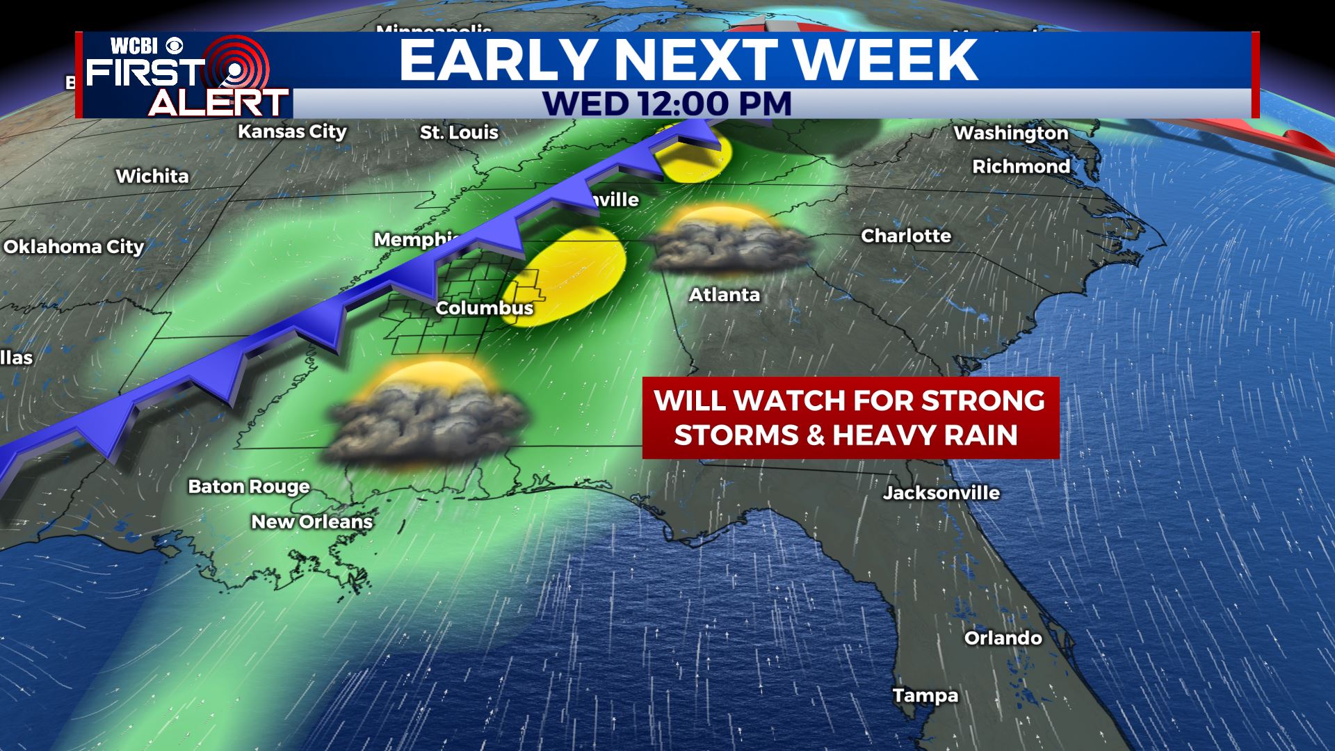
TUESDAY-WEDNESDAY: The next major weather system for us may produce strong to severe storms and more heavy rain. It’s something we’ll continue to monitor during the coming days.
Follow @WCBIWEATHER on Facebook, Twitter, Instagram, and the WCBI News App


Leave a Reply