Cooler through midweek
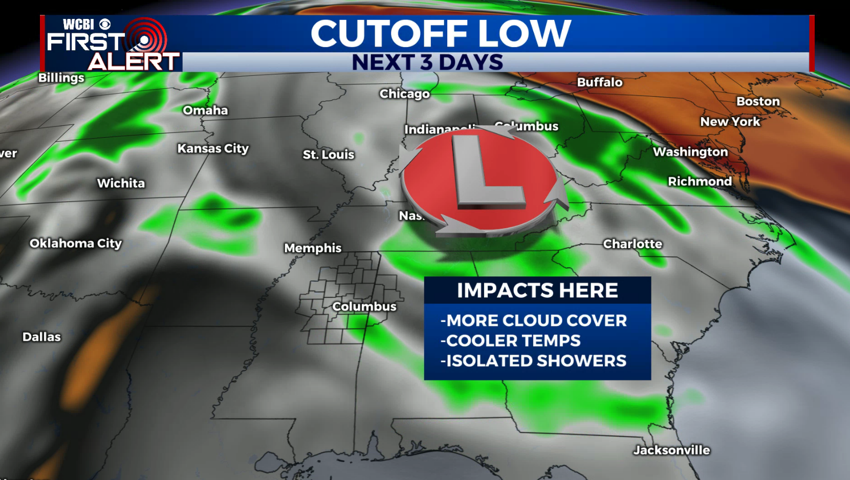
SUMMARY: Below average conditions are expected for the next 2 days with a cutoff low meandering around the Southeast. A few isolated showers will remain possible but no widespread, significant rain is expected. Summer-like warmth & humidity returns just in time for the coming weekend.
MONDAY NIGHT: Variably cloudy and quiet. Lows in the upper 50s. Wind remains light.
TUESDAY: Partly to mostly cloudy. A few spotty showers could develop during the heating of the day but we’re going to keep the rain chance at just 20%. Highs top out in the mid 70s. Winds WNW 5-10 mph.
TUESDAY NIGHT: Scattered clouds and quiet. Lows in the mid 50s.
WEDNESDAY: A mix of sun & clouds with a 10-20% chance of a shower or two. Highs in the upper 70s.
WEDNESDAY NIGHT: Partly cloudy. Lows in the upper 50s.
THURSDAY: Partly cloudy and warmer with highs in the low to mid 80s. Just a slight chance of a shower.
FRIDAY: Partly cloudy. A 20% chance of pop-up showers or storms. Highs in the mid to upper 80s.
MEMORIAL DAY WEEKEND: Partly cloudy, warm, and humid. A daily 30% chance of scattered rain and storms. Highs in the upper 80s to around 90.
Follow @WCBIWEATHER on Facebook, Twitter, Instagram, and the WCBI News App


Leave a Reply