Dangerous Heat Expected by Monday
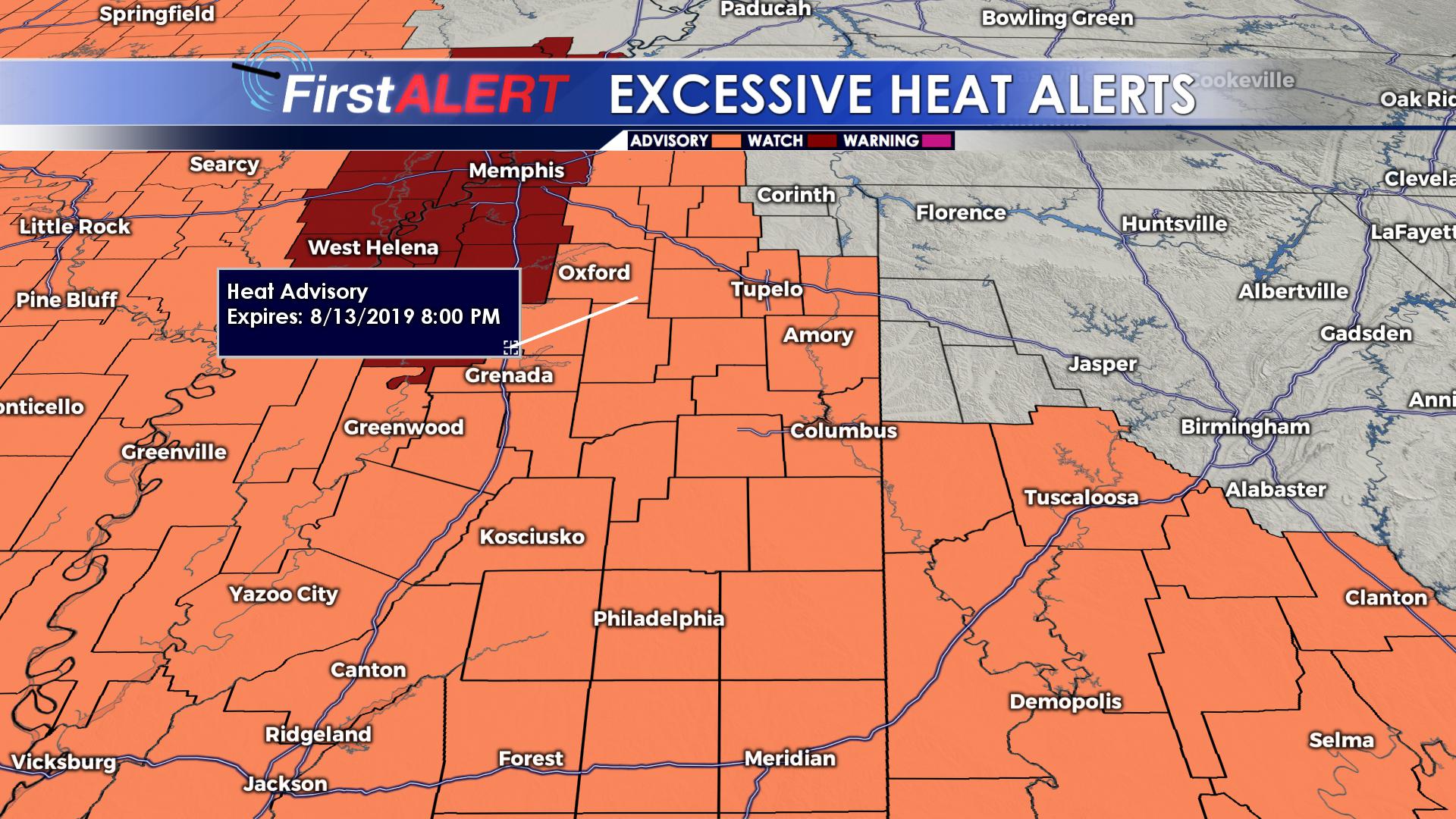
SUMMARY: An upper level ridge will be situated over our area by the beginning of next week leading to a potentially dangerous heat wave. For this reason, the majority of our viewing area is under an excessive heat advisory until Tuesday at 8 PM. However, relief will come Wednesday through Friday as a front pushes through bringing greater rain chances and drier air.
SUNDAY: Slight chance for some afternoon pop-up storms as temperatures top out in the mid 90s across the area. Heat index values may approach 105° in some areas.
MONDAY: Dangerously hot temperatures with high temperatures in the mid to upper 90s. Heat index values will top 110°. Most of us will remain dry, but a pop up storm or two isn’t out of the question.
TUESDAY: Oppressive heat continues with high temperatures in the mid 90s. High humidity will make it feel more like 105°-110°. Scattered storms are possible.
WEDNESDAY-SATURDAY: High temperatures will be in the lower 90s with slightly lower humidity. Chances for scattered storms will continue through the weekend.
Follow @WCBIWEATHER on Facebook, Twitter, and Instagram


Leave a Reply