A Double Dose of Cooler Air
Temperatures will still be fairly warm for Sunday as a cold front slowly moves through the area. Showers and storms are possible today and early Monday morning. We’ll be dry and pleasant for the middle of the week before another cold front brings more rain chances and cooler air by Friday.
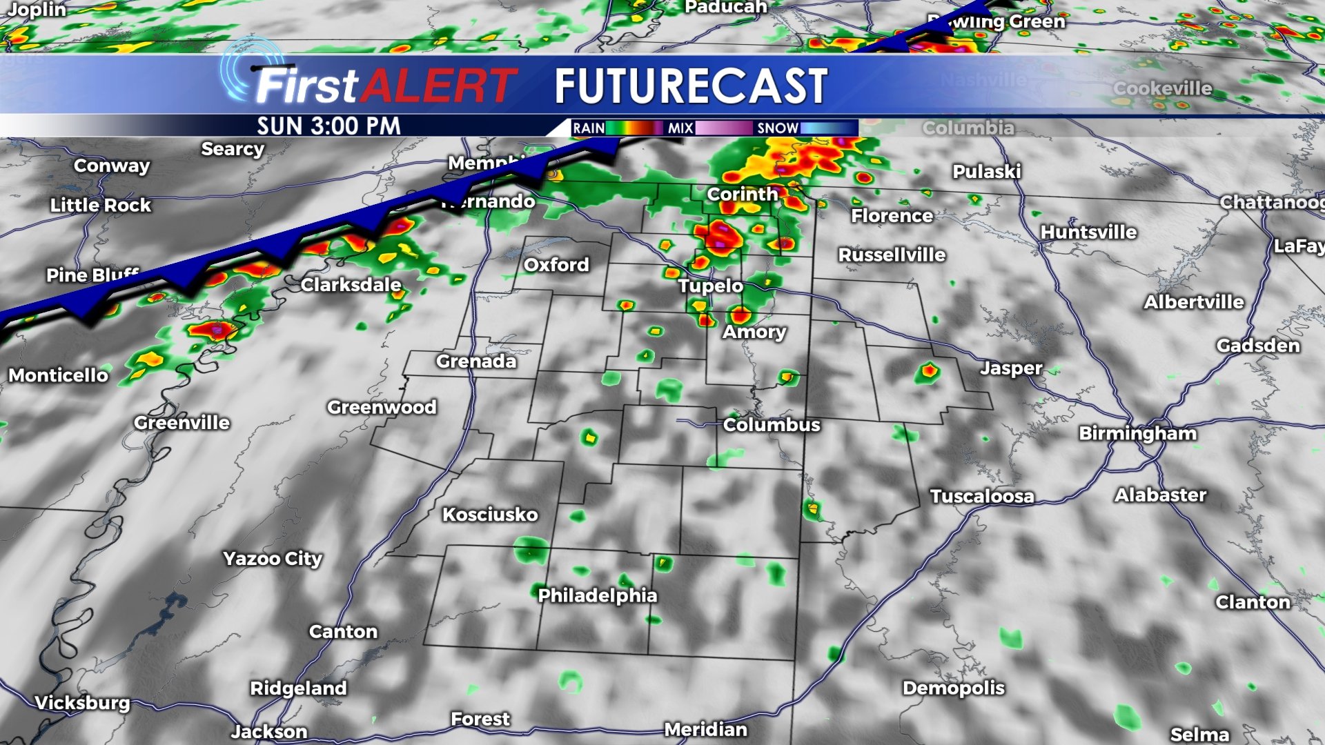
SUNDAY: Grab the umbrella as you head out…scattered showers and storms possible anytime after noon. Highs will be in the mid to upper 80s.
SUNDAY NIGHT: Rain and storms continue overnight Sunday into Monday with a low near 67.
MONDAY: Showers and storms likely Monday morning, but as the cold front continues through, rain chances should diminish into the afternoon hours. We could even see a few peeks of sun by the evening. Highs will only be in the mid 70s as cooler air moves in.
TUESDAY-THURSDAY: Apart from a rouge shower or storm, most everyone should stay dry and sunny through the middle of the week. Highs will be near 80 for Tuesday before climbing back into the mid 80s for Wednesday and Thursday.
FRIDAY-SUNDAY: A second cold front will sweep through the area Friday and Saturday, bringing another pretty good chance for showers and storms on Friday. I think Saturday will be pretty nice once any lingering showers and storms clear out by the early afternoon hours. Morning lows on Saturday will be around 50, with some areas dipping into the upper 40s. Highs will be near 70 on Saturday and Sunday, but many of us will likely stay in the 60s even into the afternoon.
Follow @WCBIWEATHER on Facebook, Twitter, and Instagram


Leave a Reply