Feeling like fall & rain chances return this week
SUMMARY: We’ve enjoyed a nice stretch of cooler and drier early fall weather this past weekend, now we’ll see rain return to the area by the end of the week and into the weekend thanks to Tropical Storm Beta and its remnants as it pushes through the Deep South.
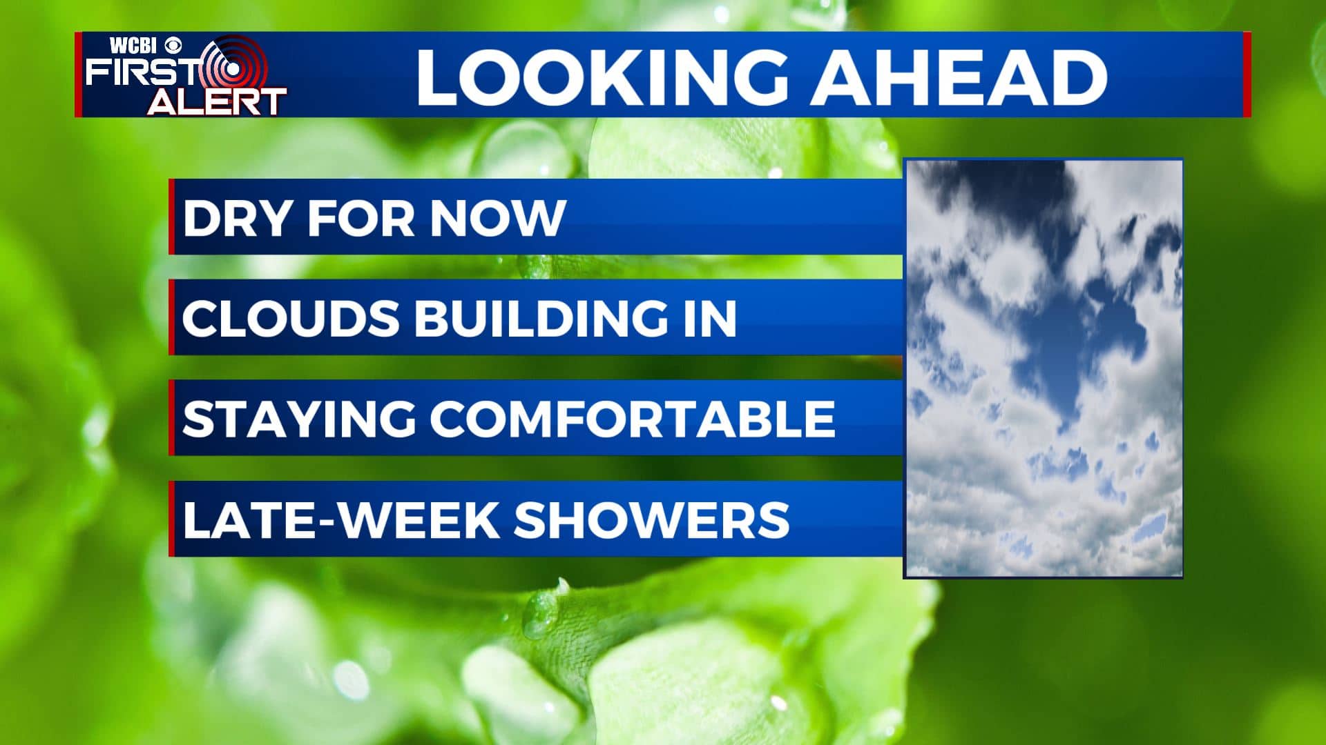
MONDAY: Clouds will start building back into the area for our Monday, but chances for rain will remain low until mid to late week. Temperatures will stay on the cooler side with highs only in the mid to upper 70s. A bit breezy with an ESE 5-15 mph.
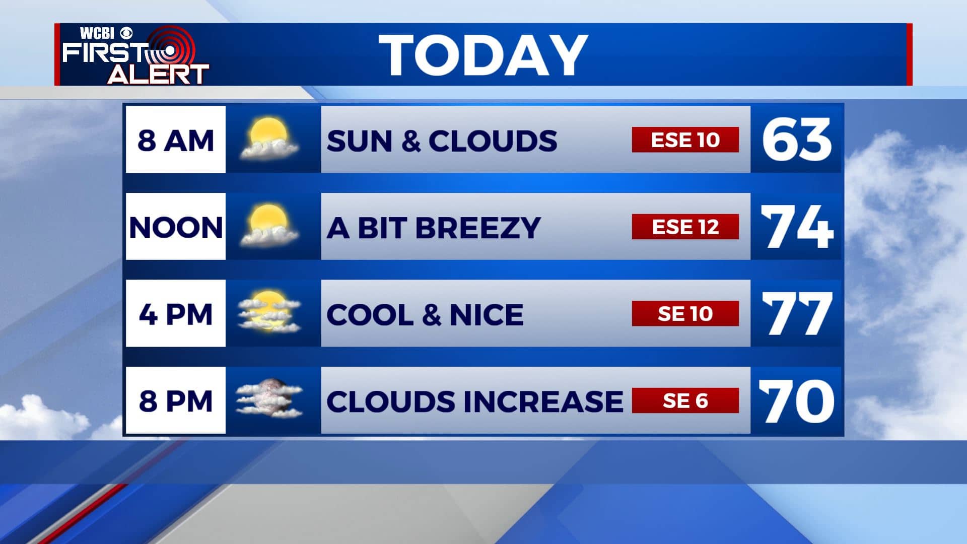
MONDAY NIGHT: Quiet and cool weather persists tonight as clouds continue to increase. Overnight lows in the upper 50s by sunrise.
TUESDAY: Chances for rain will remain low, but don’t want to rule out a chance for an isolated shower. The cloudy skies will help keep high temperatures only in the mid to upper 70s. Overnight lows in the upper 50s to near 60.
WEDNESDAY-SUNDAY: We’ve increased rain chances for the second half of the workweek and into the weekend as the remnants of Tropical Storm Beta look to crossover the area. We’ll see off-and-on showers each day with some spots seeing heavier rain at times. Some areas could see 1″-2″ of rain total. We do need the rain so we’ll take it! Skies will remain mostly cloudy to overcast with highs in the upper 70s to lower 80s. Morning lows will be in the mid to upper 60s thanks to the cloud cover.
NEXT WEEK: It’s a little too early, but indications are that a cold front could come through the area early next week and return us to some cooler temperatures. Stay tuned!
Stay connected with @WCBIWEATHER on Facebook, Twitter, Instagram, and the WCBI News App


Leave a Reply