Heavy rain, storms, and ice across Mississippi Thursday
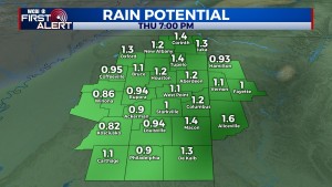
COLUMBUS, Mississippi (WCBI) – An active, high impact day is expected across the state Thursday. A strong front will bring heavy rain and potential strong storms to parts of northeast Mississippi.
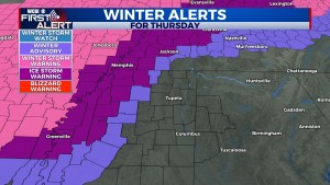
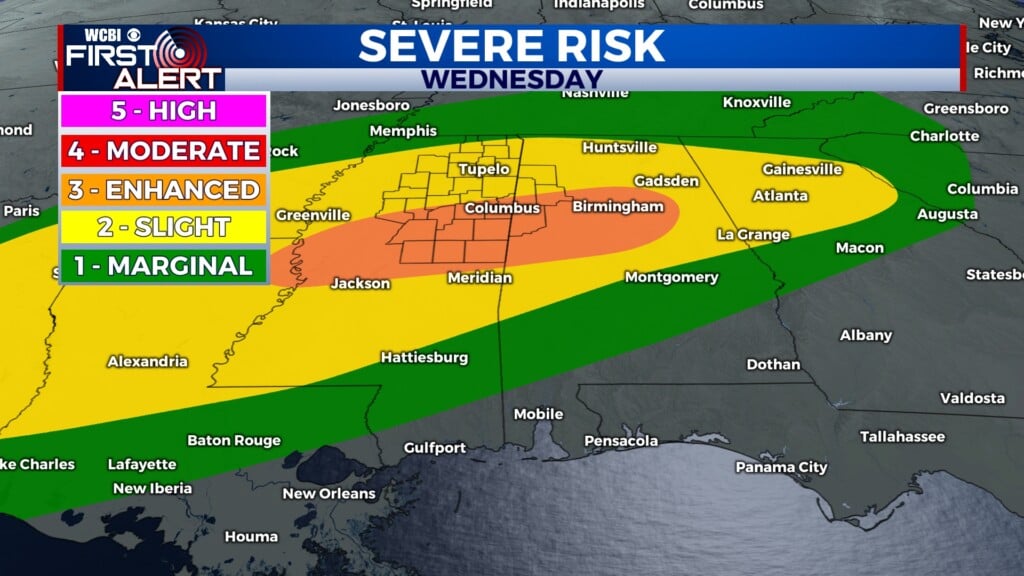
THURSDAY: The long-awaited front has arrived, and temperatures are already spread out from northwest to southeast. As an area of low pressure develops along this front, warm, unstable air will move into eastern MS and western AL. Here, a few severe storms are possible with gusty winds and a tornado possible. The main time frame to watch is 12-3p. Otherwise, expect widespread rain to develop for the rest of the region through the day with steady or falling temperatures as the front moves slowly east. Finally, freezing rain/ice accumulations are possible for northwestern parts of the region, from Carrollton/Grenada to Oxford later today and tonight. Slippery travel is possible in those spots, but the more damaging ice issues will be across the northern MS Delta/northwestern MS up to Memphis.
THURSDAY NIGHT: Most of the precipitation will exit after sunset, but colder air will continue filtering in from the northwest. Temperatures will likely fall to freezing or below for most spots, and overrunning moisture could create a few patches of freezing drizzle across the entire region. This still looks to be quite a limited threat, and no significant impacts are expected. However, stay tuned for changes as this remains an uncertainty in the forecast.
FRIDAY: Clouds hang tough with chilly northwest winds. Highs will hold in the 30s all day with wind chills at or below freezing.
WEEKEND: Much-improved weather is expected at last! Expect a good supply of sun both days with highs in the 40s Saturday and low 50s Sunday.
NEXT WEEK: The weather looks to stay quiet at least through mid-week. Slightly below average temperatures are expected during the day and overnight, but each day will have lots of sunshine!


Leave a Reply