First the rain then here comes the colder air
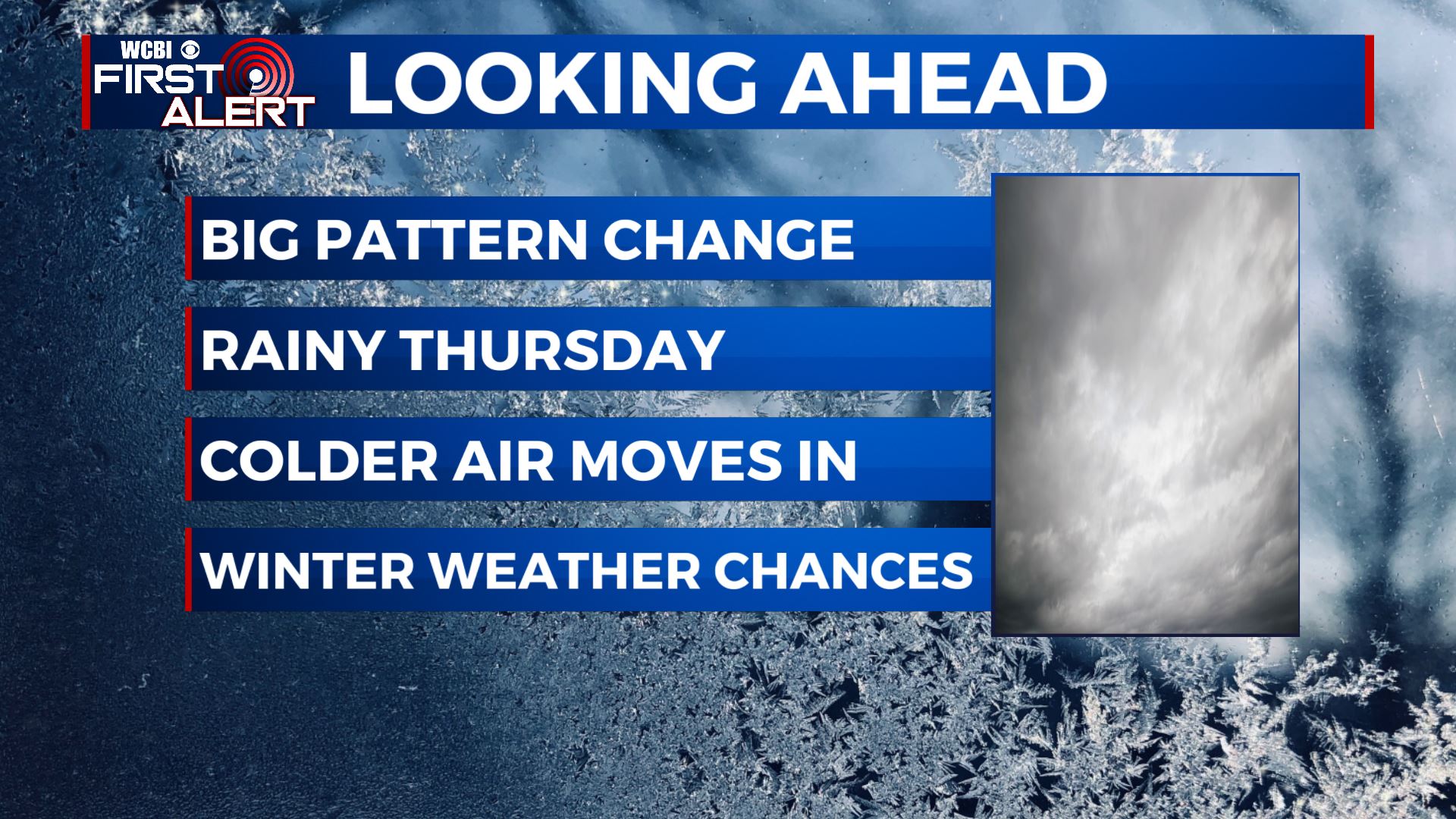
SUMMARY: A major change in our weather pattern will take place today as we’re waking up to rain showers and cloudy skies as a strong cold front pushes through the region. Much colder air will be filtering in as we head into Friday and the weekend. Some showers are possible into Friday night into Saturday, but not looking to be a big concern. Valentine’s Day weekend is looking cold and cloudy, but a bigger storm system lurks for Monday into Tuesday that could bring us some winter weather concerns. We’ll be watching this closely over the next several days and keep you updated as we fine tune the forecast.
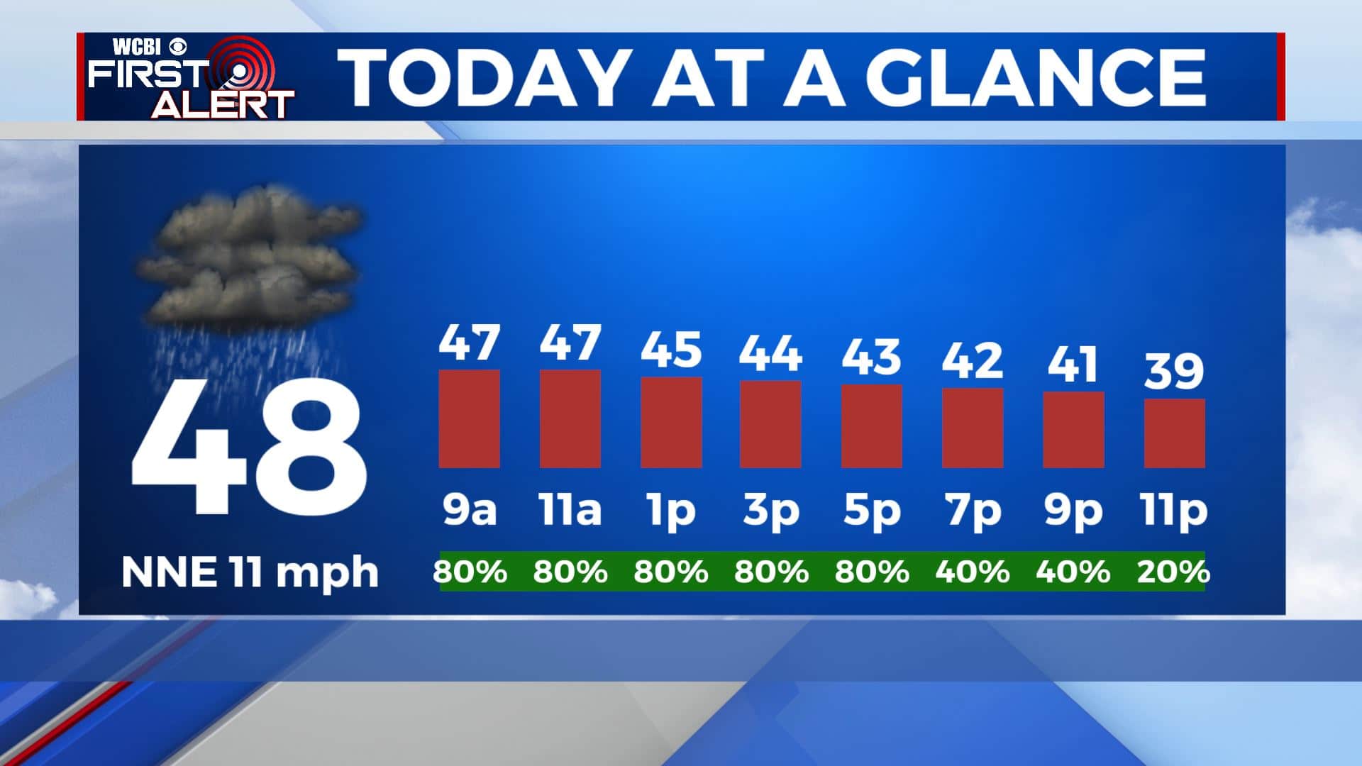
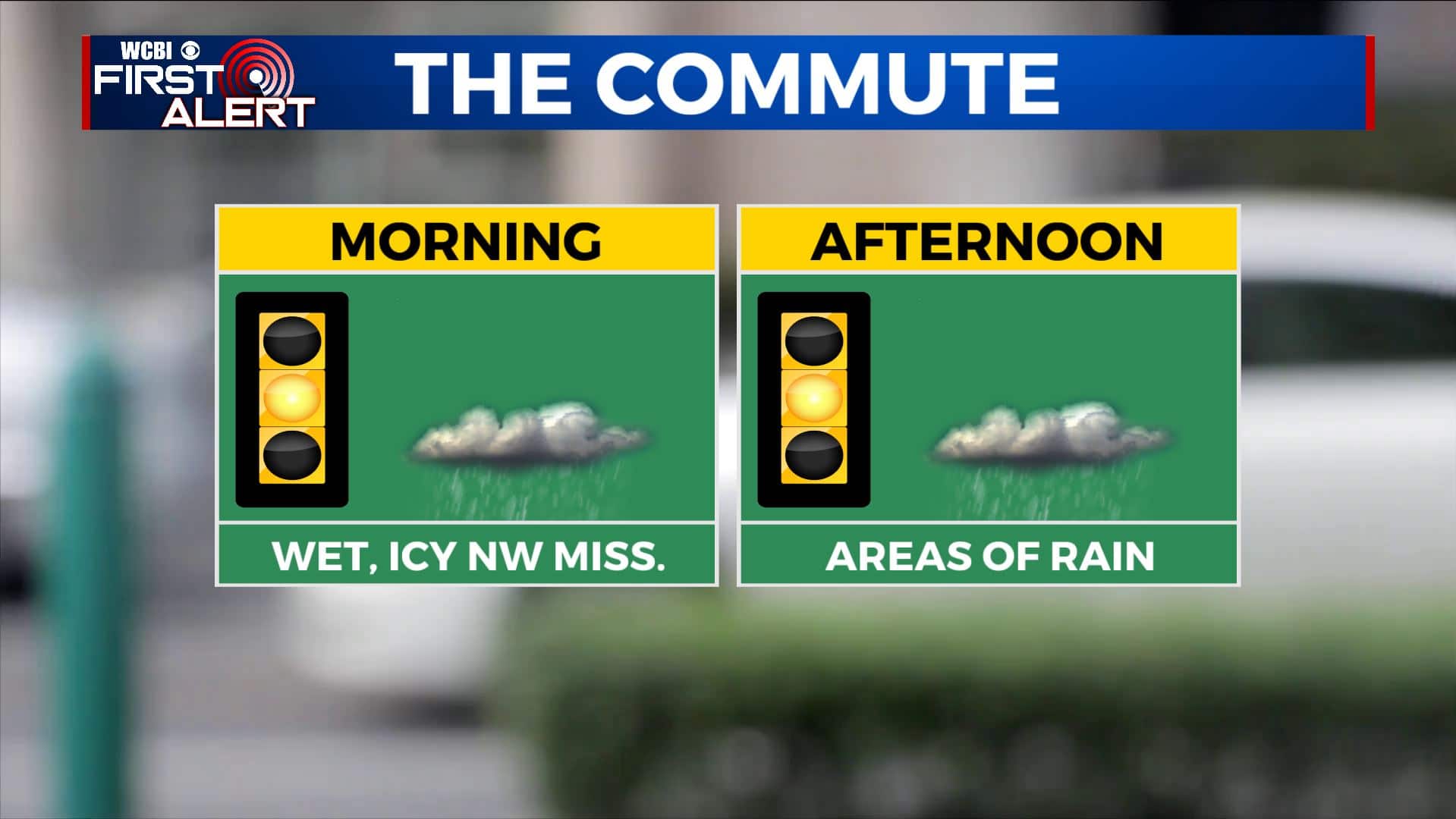
THURSDAY: After some thundershowers overnight, rain chances will continue for our Thursday. There’s a chance some freezing rain could develop across our far NW counties if temperatures can get cold enough, so keep in mind about roads and travel conditions if you need to travel towards Memphis or Oxford. The colder air will also move in so it’s just going to feel downright raw out there with the falling temperatures, cloudy skies and rain chances throughout the day. Can’t say we didn’t warn you! North winds 5-10 mph.
THURSDAY NIGHT: Cloudy skies. Some lingering rain is possible. Overnight lows in the 30s.
FRIDAY: Mostly cloudy skies. Some lingering showers will remain possible. Highs much cooler in the lower 40s and maybe even upper 30s. A bit breezy with north winds 10-15 mph, gusting up to 20 mph.
FRIDAY NIGHT: Cloudy. Some showers are possible. Overnight lows in the 30s.
SATURDAY: Mostly cloudy. Highs in the 40s & 30s.
SATURDAY NIGHT: Mostly cloudy. A cold night as overnight lows fall to the 20s.
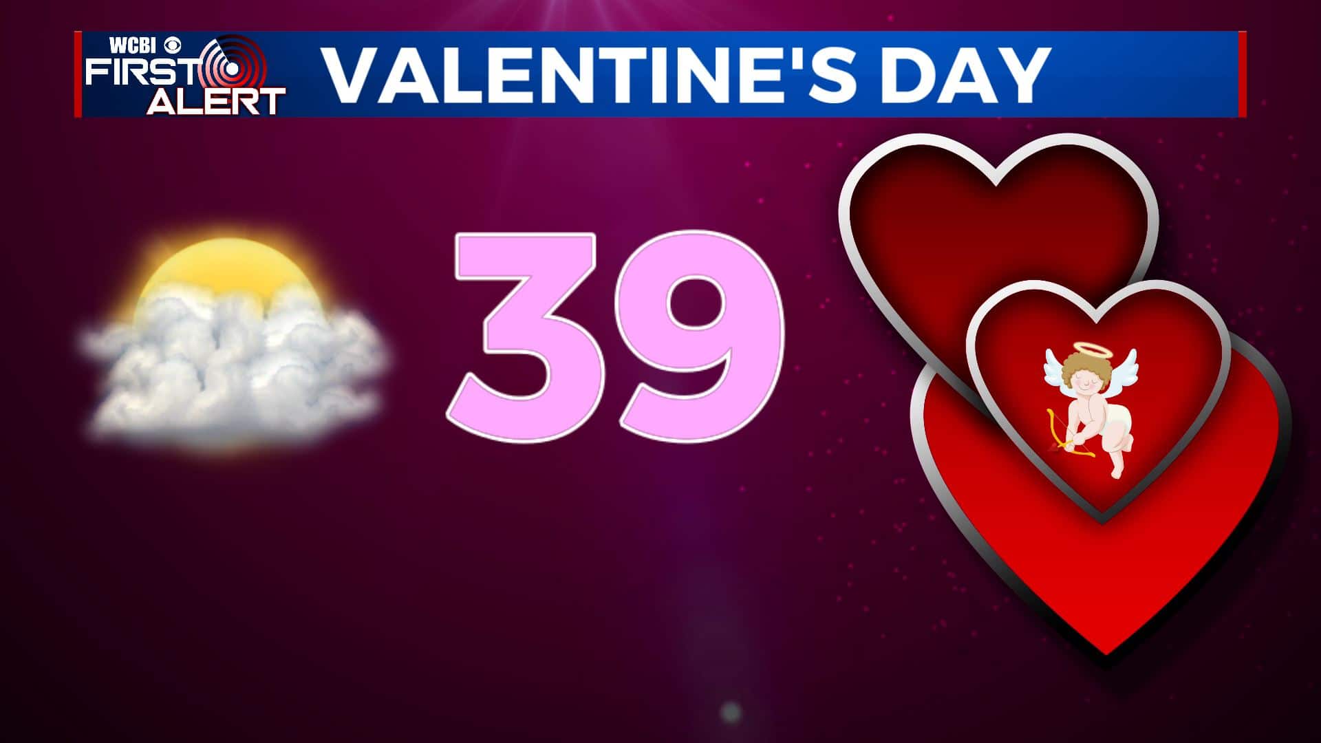
SUNDAY: It will be cloudy and staying brisk for your Valentine’s Day. Highs may only top out in the upper 30s. Definitely good cuddling weather.
SUNDAY NIGHT: Mostly cloudy. Lows near 30 degrees.
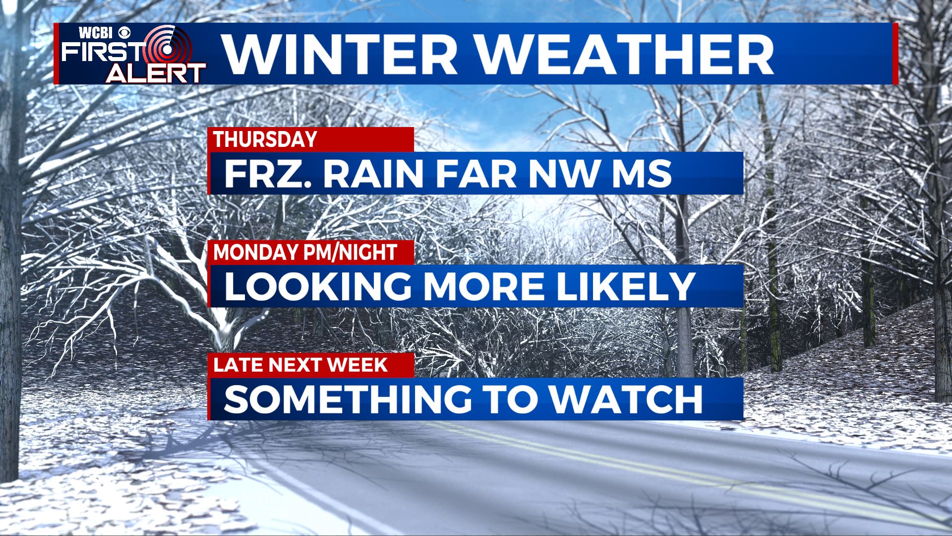
MONDAY: Highs in the upper 30s. Wintry weather may develop during the afternoon and evening. Stay tuned to WCBI for the latest forecasts over the next several days.
MONDAY NIGHT: Wintry weather is possible. Another cold night with lows near 20 degrees.
TUESDAY: Wintry weather pulls away during the morning with mostly cloudy skies lingering during the day. Highs in the mid 30s.
WEDNESDAY-LATE NEXT WEEK: More wintry weather is possible Thursday. Something we’ll have to keep watching.
Stay connected with @WCBIWEATHER on Facebook, Twitter, Instagram, and the WCBI News App


Leave a Reply