Hot Next Few Days, Relief Coming
SUMMARY: Extremely hot and dry weather is going to continue for the first few days of October. We are watching 2 cold fronts, the first of which will pass on Thursday. Moisture potential is quite low with the first one but it will cool us down into the upper 80s going into the weekend. The second front will be more significant next Monday. It has the potential to provide much needed moisture to the region in addition to significantly cooler air.
MONDAY NIGHT: Clear and quiet. Lows in the upper 60s to around 70.
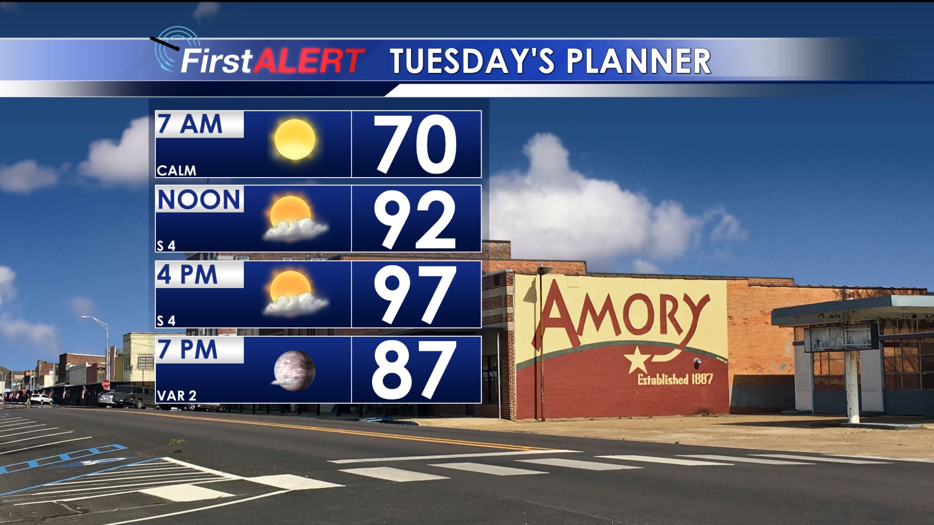
Tuesday’s Planner
TUESDAY-WEDNESDAY: Mostly sunny to partly cloudy. Continued very hot with highs in the mid to upper 90s. Additional new record highs are likely around the region. Overnight lows are going to stay in the upper 60s to around 70.
THURSDAY: We’re adding a 10% chance of a shower or storm as a weak cold front moves through. Look for highs to remain in the 90s.
FRIDAY-SUNDAY: Cooler upper 80s are more likely but that’s still well above average for this time of year. Some showers are possible Sunday afternoon but we’re keeping the chance of rain at 20%.
NEXT MONDAY: Data suggest the potential for a significant cold front! Highs may only top out in the 70s with widespread rain and storms a distinct possibility. It’s still a long way out so keep your fingers crossed.
Follow @WCBIWEATHER on Facebook, Twitter, and Instagram


Leave a Reply