Hot Wednesday, “Cooler” Late-Week
SUMMARY: The overall weather pattern will remain pretty dry going forward. Temperatures will cool starting Thursday so it won’t be AS bad but we’re still looking at generally above normal conditions into next week.
TUESDAY NIGHT: Clear and quiet. Lows near 70.
WEDNESDAY: Partly cloudy and hot. Highs mainly in the mid to upper 90s with the heat index in the low 100s at times. While a stray shower can’t be ruled out we’re going to keep the mention of it out of the official forecast.
WEDNESDAY NIGHT: Mainly clear and quiet. Lows near 70.
THURSDAY: Not as hot with highs in the low 90s in most spots. There is a 20% chance of a shower or storm as a weak frontal boundary pushes from east to west across the region. Don’t get too excited about the chance of rain but it is the best opportunity we’ve had in weeks if you can call it that.
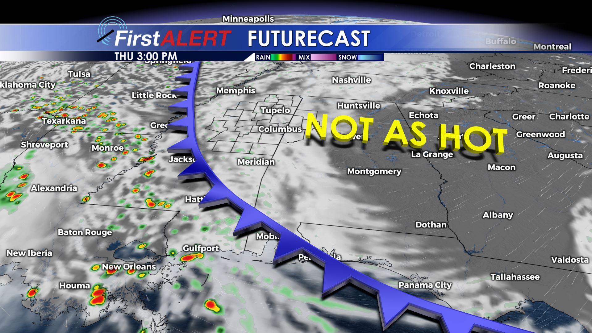
Thursday’s Forecast Map
FRIDAY-SUNDAY: Mostly sunny and seasonably warm. Highs in the upper 80s to lower 90s with comfortable lows in the mid to low 60s. Conditions will be very pleasant before the sun rises each day and after the sun sets.
EARLY NEXT WEEK: Fall officially arrives early Monday morning but we’re still looking at highs mainly in the lower 90s. We’re adding a daily 20% chance of a shower/storm but we’re not too optimistic about widespread moisture at the moment.
Follow @WCBIWEATHER on Facebook, Twitter, and Instagram


Leave a Reply