Humid conditions and storm chances continue as we begin July
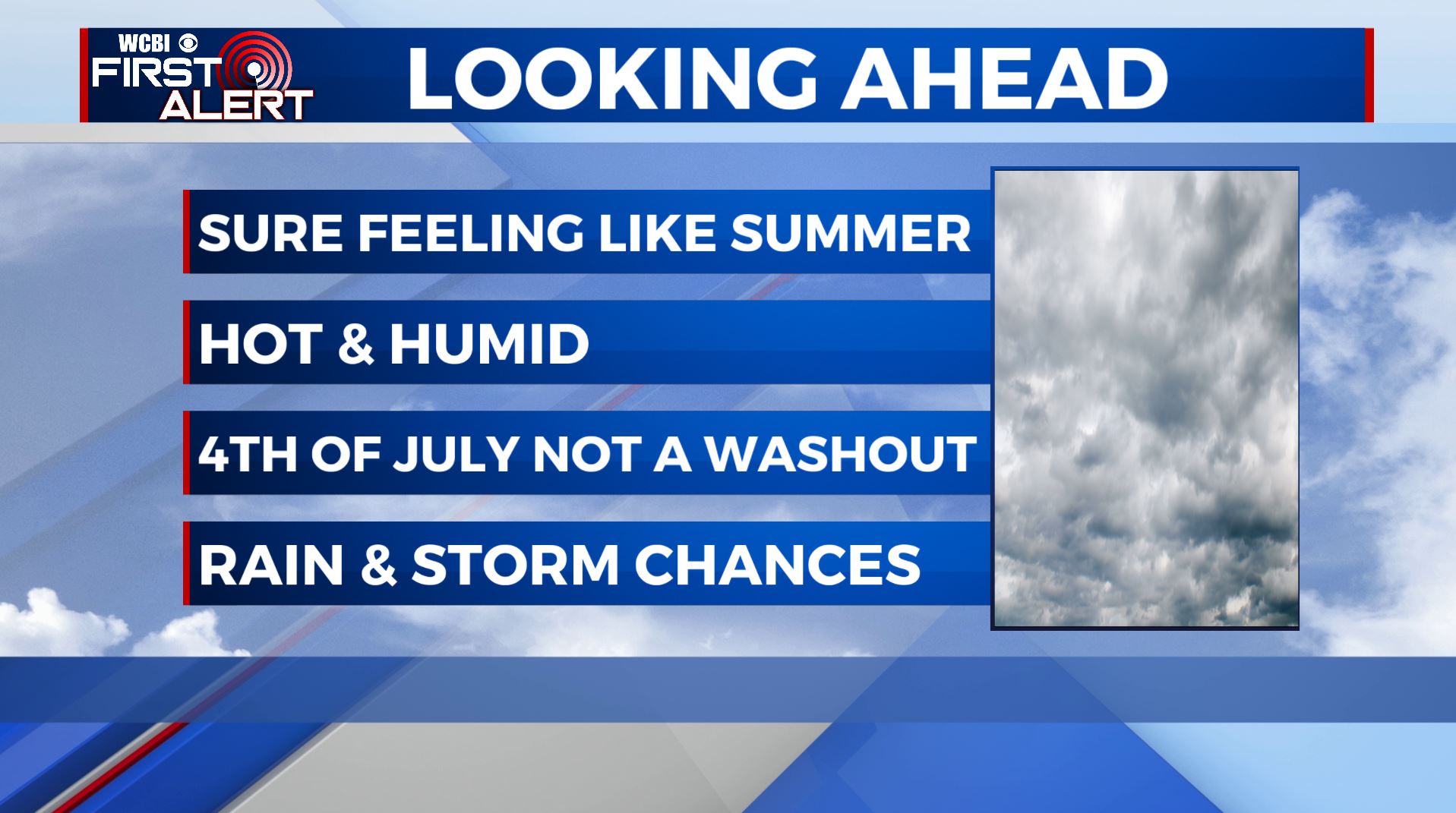
SUMMARY: It’s sure feeling a lot like summer as we begin the month of July and will continue to stay that way through the Fourth of July holiday weekend. Staying hot & humid with highs in the lower 90s with the heat index making it feel like near 100. We’ll have likely chances of showers & storms Wednesday & Thursday. The Fourth of July holiday weekend not looking to be a complete washout, but there will be scattered storms around.
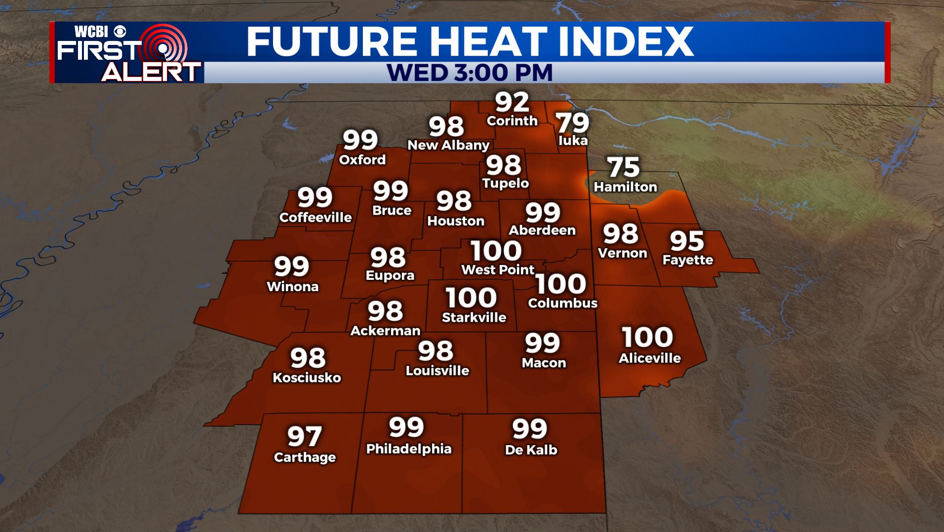
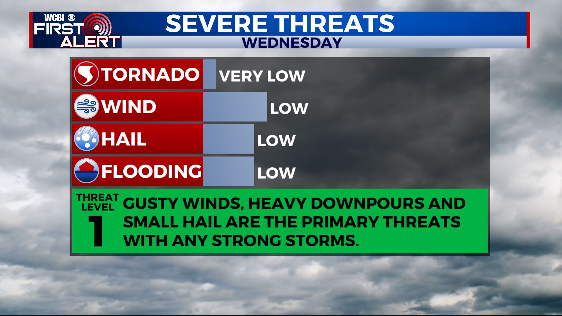
WEDNESDAY: Staying hot and humid. Highs remaining in the lower 90s with heat indices making it feel like the lower 100s at times. Stay cool and hydrated! Better chances of showers and storms in the afternoon into the evening hours so keep the umbrella nearby. Any storm this time of year may produce locally strong winds, small hail, heavy rainfall and frequent lightning. SW winds 5-10 mph.
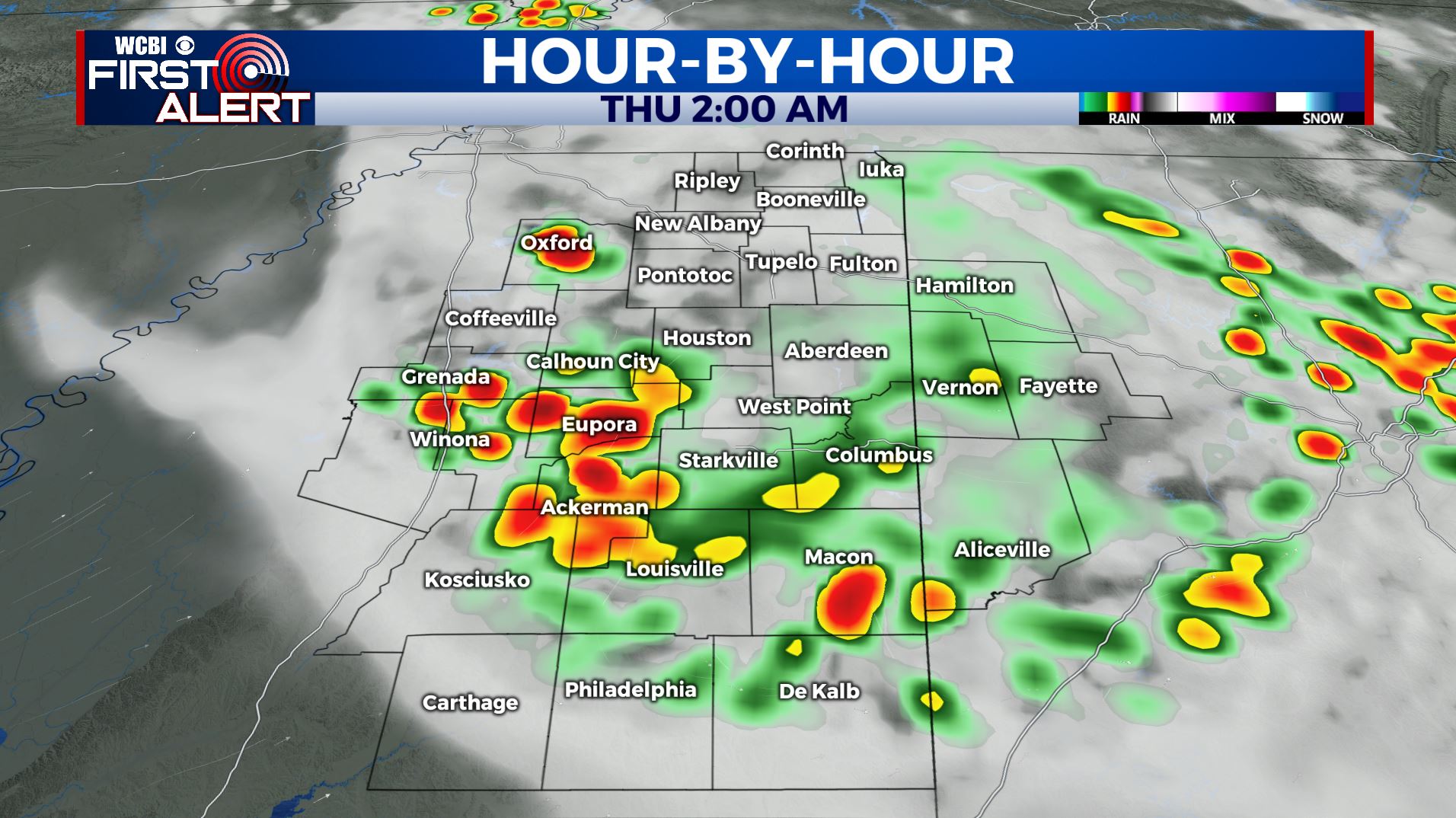
WEDNESDAY NIGHT: We’ll have mostly cloudy skies with another round of showers and storms move through after midnight into Thursday morning. Storms may produce locally strong winds, small hail, heavy rainfall and frequent lightning. Overnight lows in the low 70s.
THURSDAY: Still hot and humid. Highs in the upper 80s to around 90 with heat indices getting into the low 100s at times. There is still a likely chance of showers and storms throughout the day.
FRIDAY-SUNDAY: The long Fourth of July holiday weekend looks to feature typical summertime weather. Highs stay in the low to mid 90s with lows in the low 70s. Chances of a pop-up shower or storm in the afternoon hours, but not looking to be a complete washout so any outdoor weekend plans will be a go. But you may want to have a backup indoor plan just in case.
NEXT WEEK: A continuing chance of showers and storms with highs either side of 90.
Stay connected with @WCBIWEATHER on Facebook, Twitter, Instagram, and the WCBI News App


Leave a Reply