Lingering showers & cooler temperatures for Thursday
SUMMARY: A cold front has pushed through the region which has allowed the severe weather threat to push out to our east. For us here back home, we are continuing to deal with some lingering showers even some thunderstorms this Thursday morning. We’ll have a much cooler & cloudy day with some rain chances Thursday afternoon. A few snowflakes could mix in as we go down to near freezing Thursday night. The sunshine will make a return on Friday. A fairly decent weekend is ahead before more showers and thunderstorms return to the forecast next week.
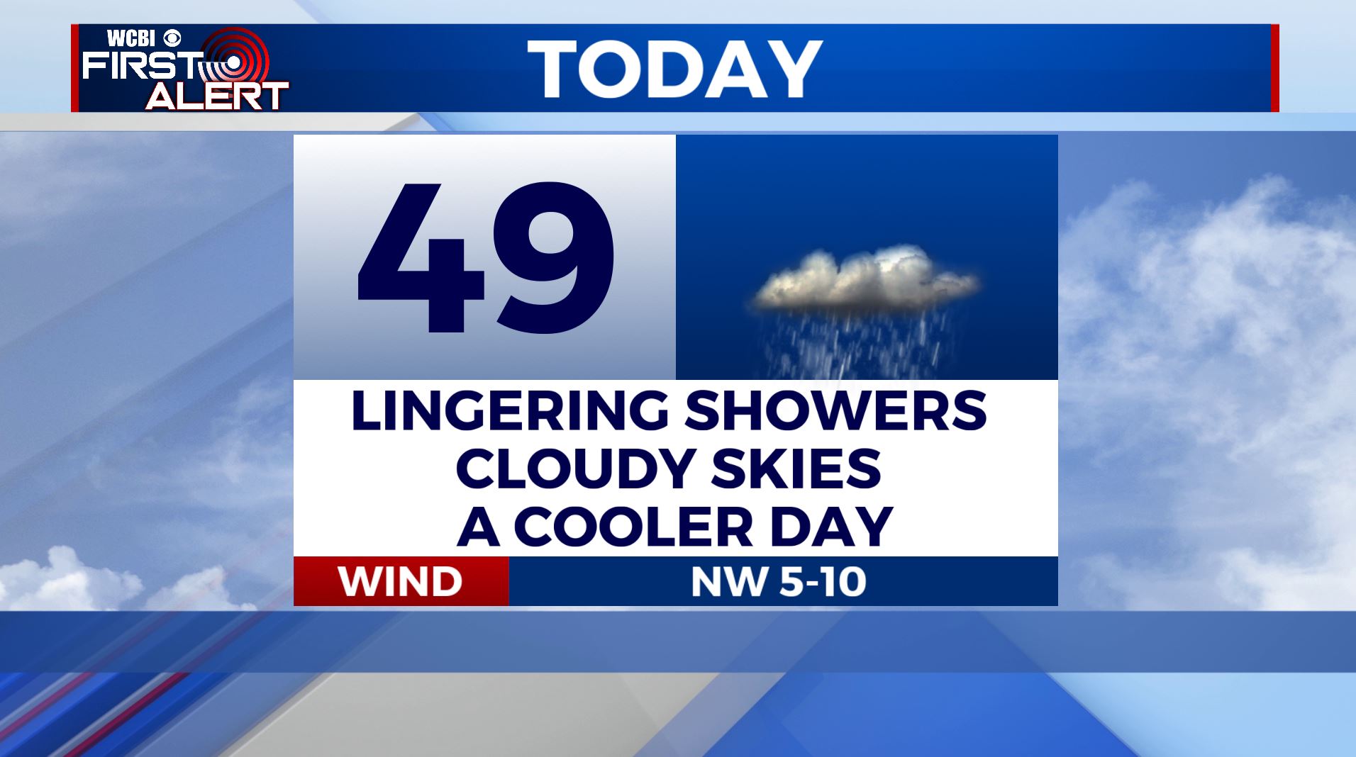
THURSDAY: Mostly cloudy, breezy and cooler with lingering rain showers behind our cold front. Highs only going up to the mid 40s. Winds NW 5-10 mph.
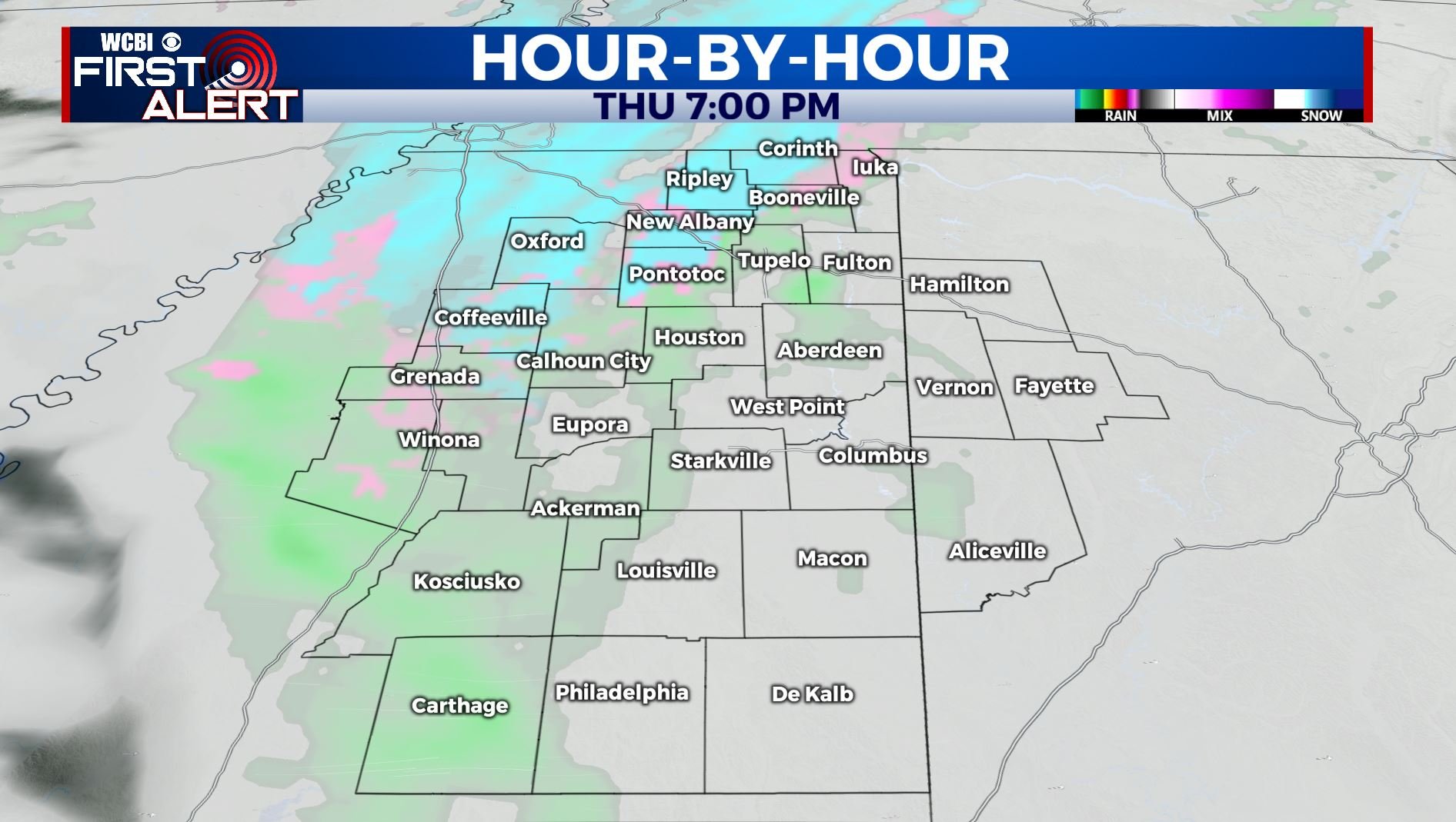
THURSDAY NIGHT: Mainly cloudy with temperatures dipping into the lower 30s. A few lingering showers may hold though. A few spotty flakes could also be spotted somewhere in the region. Not looking to be a big deal.
FRIDAY: Clouds will give way to sunshine Friday afternoon. Highs climb back into the lower 50s. Upper 30s Friday night with increasing clouds.
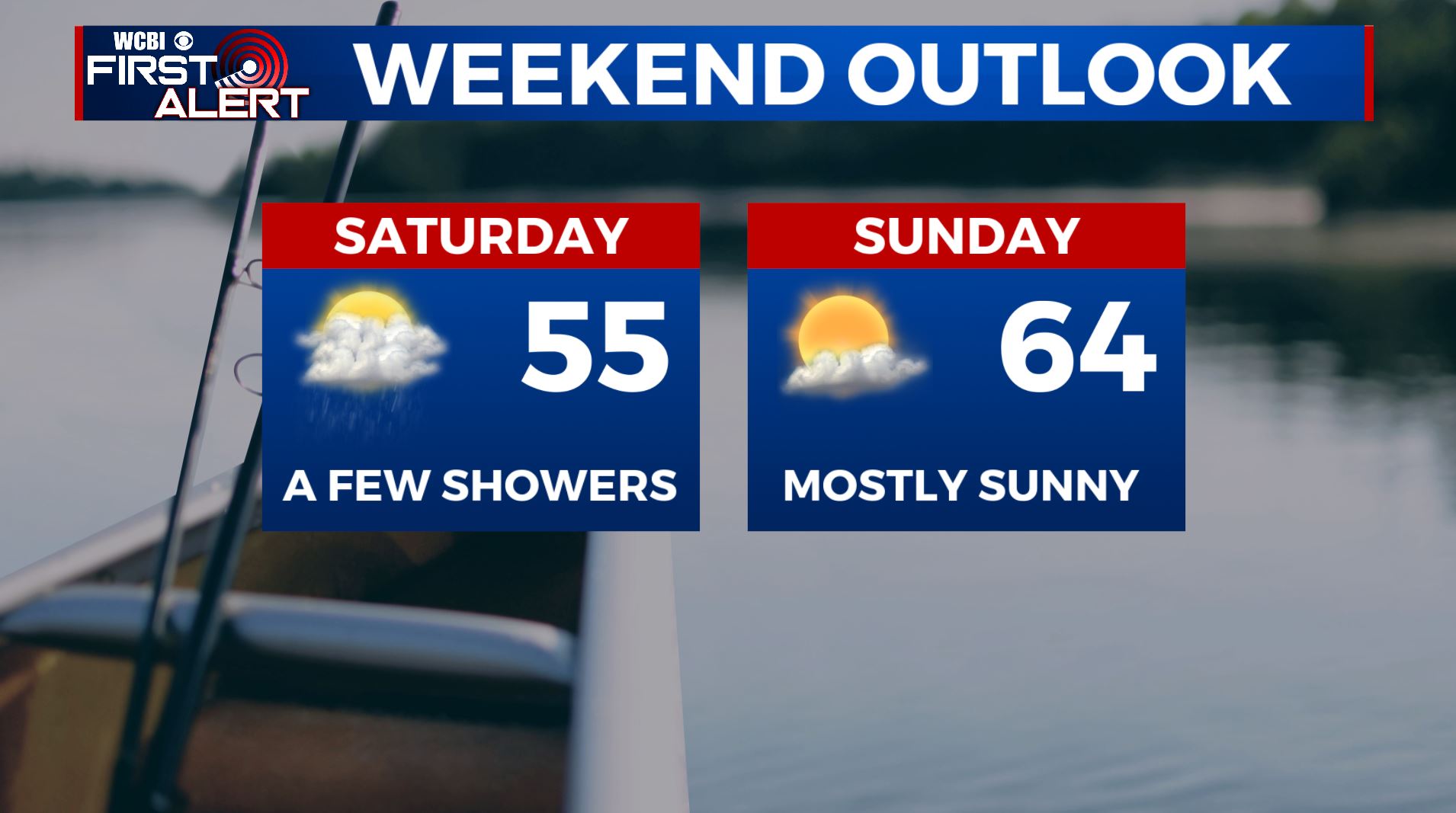
SATURDAY: Variably cloudy. Some showers are possible but we’re going to keep the rain chance at just a slight chance. Highs stay in the 50s. Upper 30s for lows Saturday night.
SUNDAY: Mostly sunny skies. High temperatures warm back up into the mid 60s. Milder lows in the 50s Sunday night.
MONDAY: Areas of rain with embedded thunder by the afternoon. Highs in the mid 60s. Lows upper 40s around 50 Monday night.
TUESDAY: Mostly cloudy with showers. Highs in the upper 50s to around 60. Low 50s for lows Tuesday night.
WEDNESDAY: Warmer highs in the low 70s. The spring-like air may give rise to more storms. We’ll have to keep watching the potential for strong storms.
Follow @WCBIWEATHER on Facebook, Twitter, Instagram, and the WCBI News App.


Leave a Reply