Mild through midweek then sharply colder
SUMMARY: Our area is going to remain on the mild side of a frontal boundary through the middle of the week. Higher rain chances return Thursday as a cold front pushes through. Colder air is expected to gradually spill into the region starting Friday and it will continue into next week.
MONDAY NIGHT: Partly to mostly cloudy. Lows in the 40s. Winds SE 2-6 mph.
TUESDAY: More clouds than sun with a slight chance of a few showers. Highs in the mid to upper 60s with the warmest air likely across the southern 1/2 of the WCBI coverage area. Colder air may linger NW of Tupelo during the day. Winds variable 2-6 mph.
TUESDAY NIGHT: Mostly cloudy. Lows in the mid to upper 40s.
WEDNESDAY: Mostly cloudy and mild. Highs in the upper 60s. A few showers will remain possible.
WEDNESDAY NIGHT: Cloudy with areas of rain developing. Lows in the 50s.
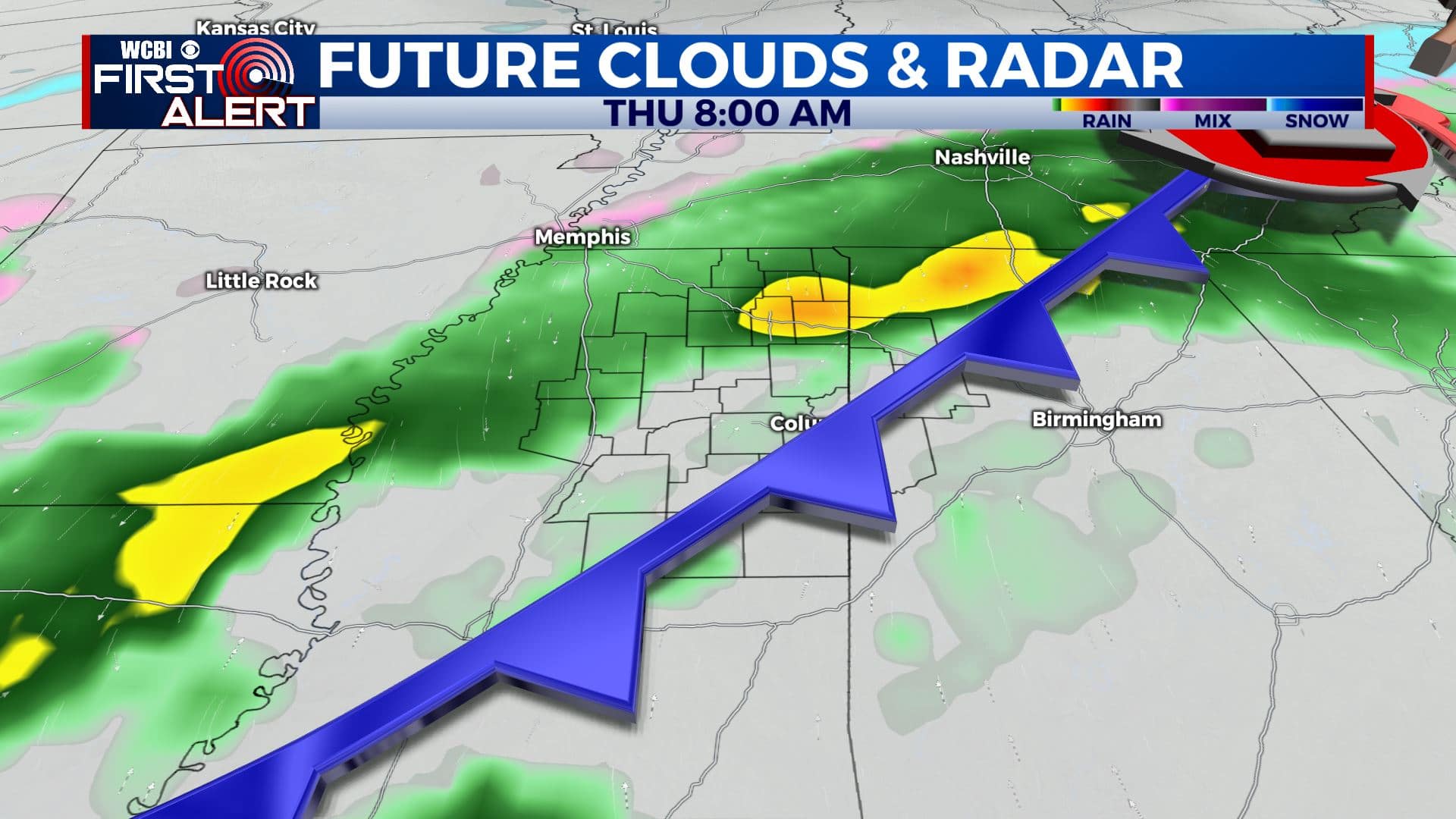
THURSDAY: Areas of rain. Highs in the low 60s during the morning or early afternoon with temperatures falling into the 50s and 40s by sunset in many spots. The chance of rain is 80%. Rainfall between 1/2” and 1 1/2” is possible.
THURSDAY NIGHT: Cloudy with area of rain gradually coming to an end. Lows in the 30s.
FRIDAY: Mostly cloudy. Colder highs in the 40s.
FRIDAY NIGHT: Mostly cloudy. Lows near 30.
SATURDAY: Mostly cloudy. Chilly highs around 40.
SATURDAY NIGHT: Mostly cloudy. Lows in the mid to low 20s.
SUNDAY: Mostly cloudy. Cold. Highs may only top out around 32.
SUNDAY NIGHT: Staying cold. Lows in the 10s.
MONDAY: Mostly cloudy. Cold. Highs in the low 30s.
Follow @WCBIWEATHER on Facebook, Twitter, Instagram, and the WCBI News App


Leave a Reply