Nice Next 2 Days, More Storms Thursday
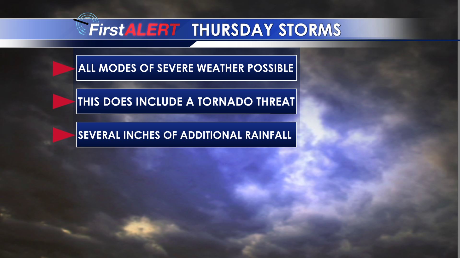
Thursday Storm Threat
MONDAY NIGHT: Clear, quiet, but not as cool. Lows fall back into the 40s with light wind.
TUESDAY: Lots of sun with a few more clouds. Highs in the upper 70s to around 80. Southerly winds between 5 and 15 mph.
TUESDAY NIGHT: Mainly clear with lows in the 50s.
WEDNESDAY: Clouds continue to increase but we’re going to stay dry. Look for highs around 80 if not into the lower 80s.
WEDNESDAY NIGHT: Some showers and storms are possible late but there is a good chance our area remains dry. Milder lows in the 60s return.
THURSDAY: Another round of active weather is likely across the Deep South. For us it means the risk of severe weather and heavy rain anytime from about late morning through early to mid evening. This does include a tornado threat too. Details and timing will be hashed out late this week so stay tuned. Highs top out in the 70s.
FRIDAY: Mostly cloudy, cool, and showery weather settles back in for a day. Temperatures may only top out in the 50s to lower 60s.
SATURDAY: The sky should turn partly cloudy but cool highs in the upper 60s to around 70 are likely to continue.
EASTER SUNDAY: Mostly sunny and warm. Look for highs around 80.
Follow @WCBIWEATHER on Facebook, Twitter, and Instagram


Leave a Reply