Pretty nice end to the workweek; Some weekend rain chances
SUMMARY: Enjoy the sunshine on Friday because rain chances are on the way for late Saturday into early Sunday morning. Not looking to be a complete washout for the weekend before Christmas. The 50 degree temperatures will stick around as well. Expect a sunny & mild start to the new week before another round of rain on Christmas Eve. Christmas Day continues to look cold and dry.
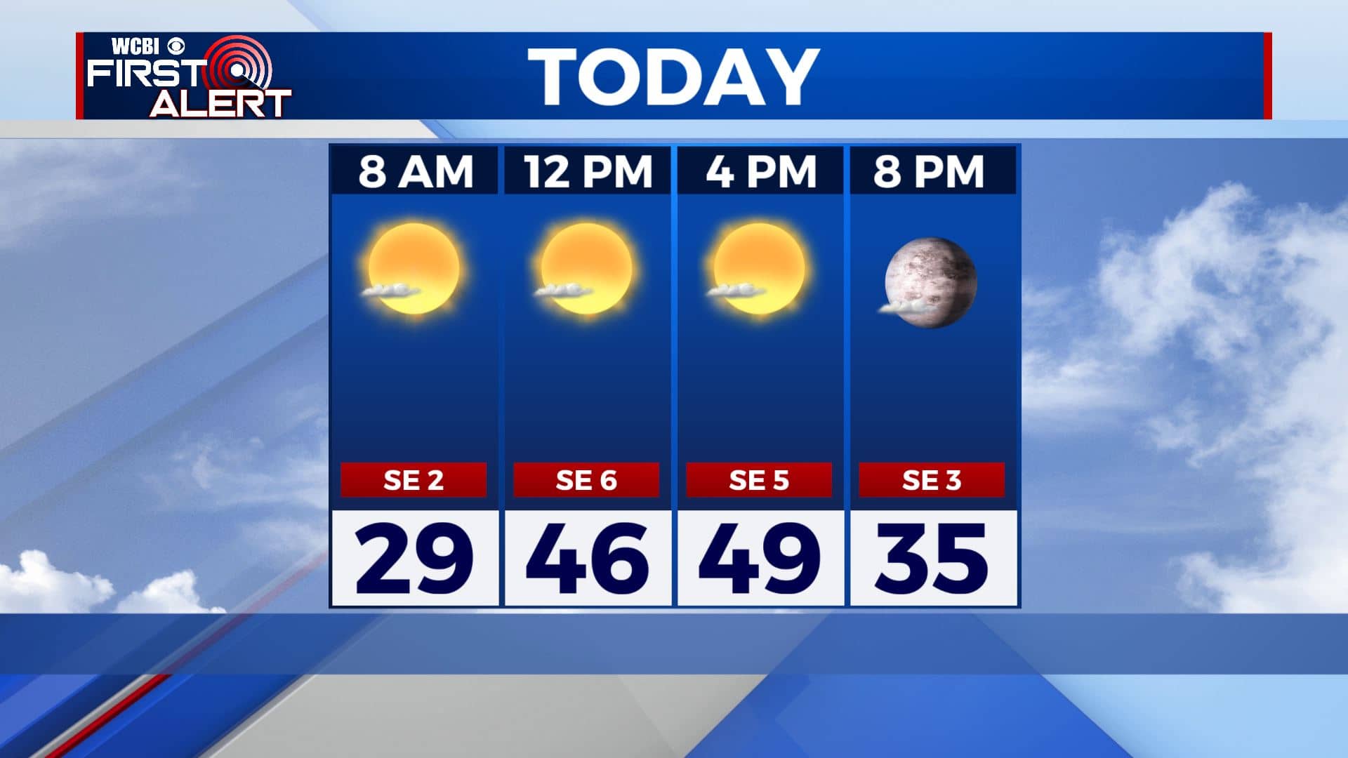
FRIDAY: After a cold & clear start to our day with temperatures in the 20s, a beautiful Friday is ahead for us. Expect a lot of sunshine. Temperatures will start warming up a bit to the lower 50s today for highs thanks to a SE wind at 5-10 mph.
FRIDAY NIGHT: A few clouds. Not as cold with overnight lows in the lower 30s. Calm winds.
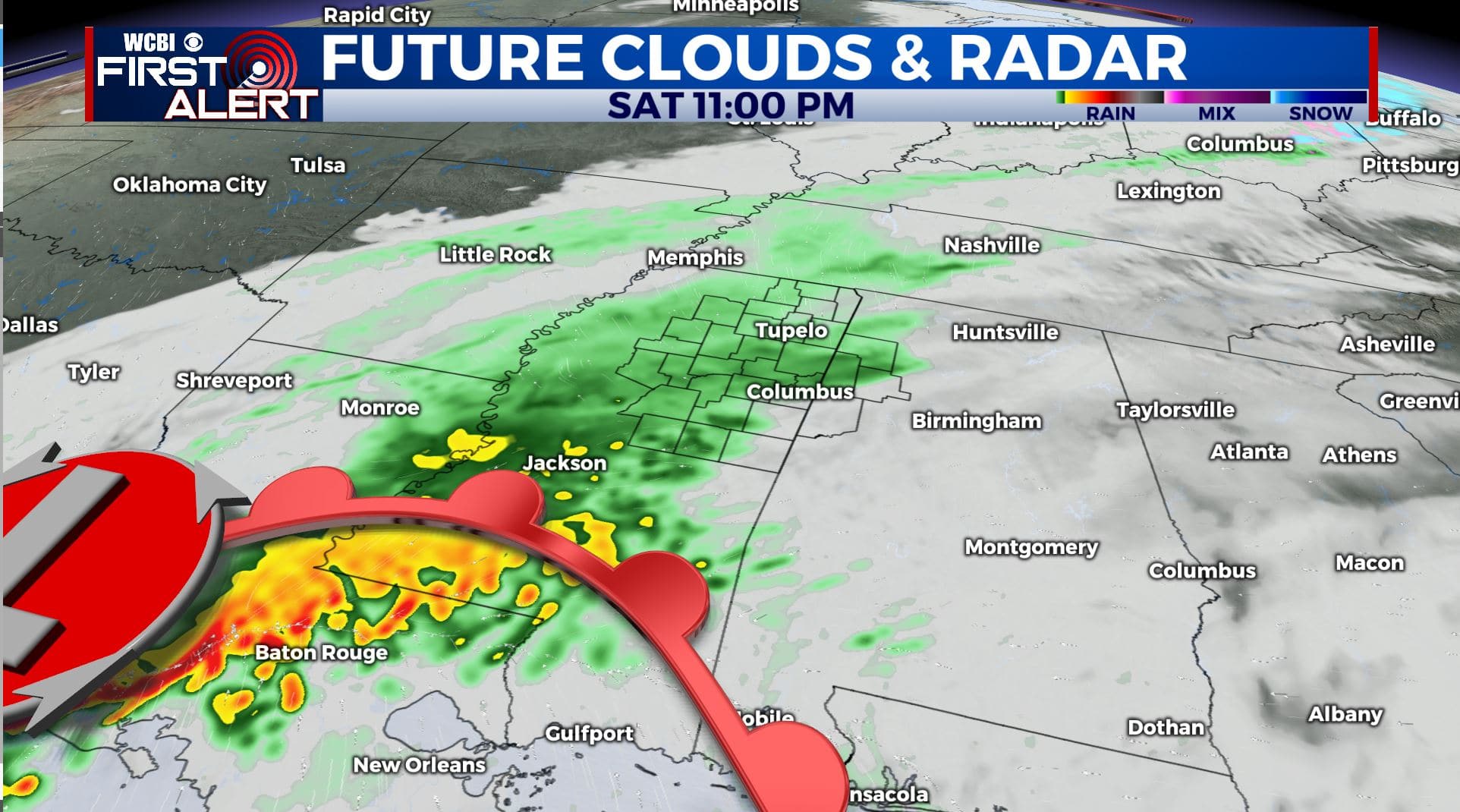
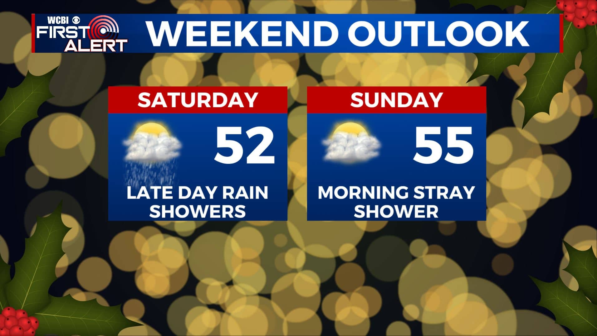
SATURDAY: Clouds increase throughout the day with a chance of showers after sunset. Highs remain in the lower to mid 50s. SE winds 5-10 mph.
SATURDAY NIGHT: Areas of rain likely. Lows in the low 40s.
SUNDAY: Some rain is possible during the morning. Cloudy skies into the afternoon. Highs in the mid 50s.
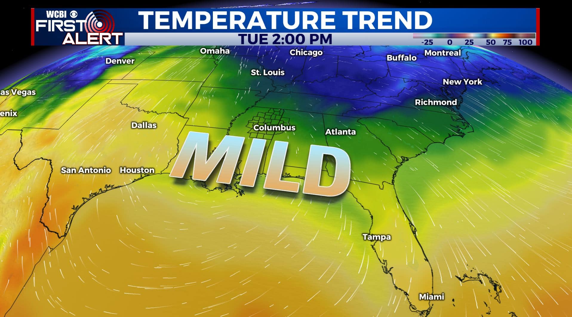
EARLY NEXT WEEK: Mostly sunny and quiet as we head into Christmas Week. Milder highs in the upper 50s to around 60. Overnight lows in the 30s. Some showers are possible late Wednesday with an incoming cold front.
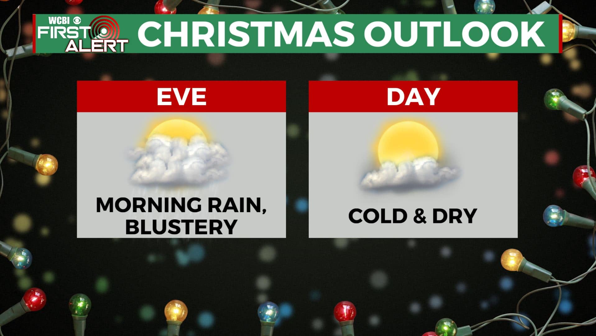
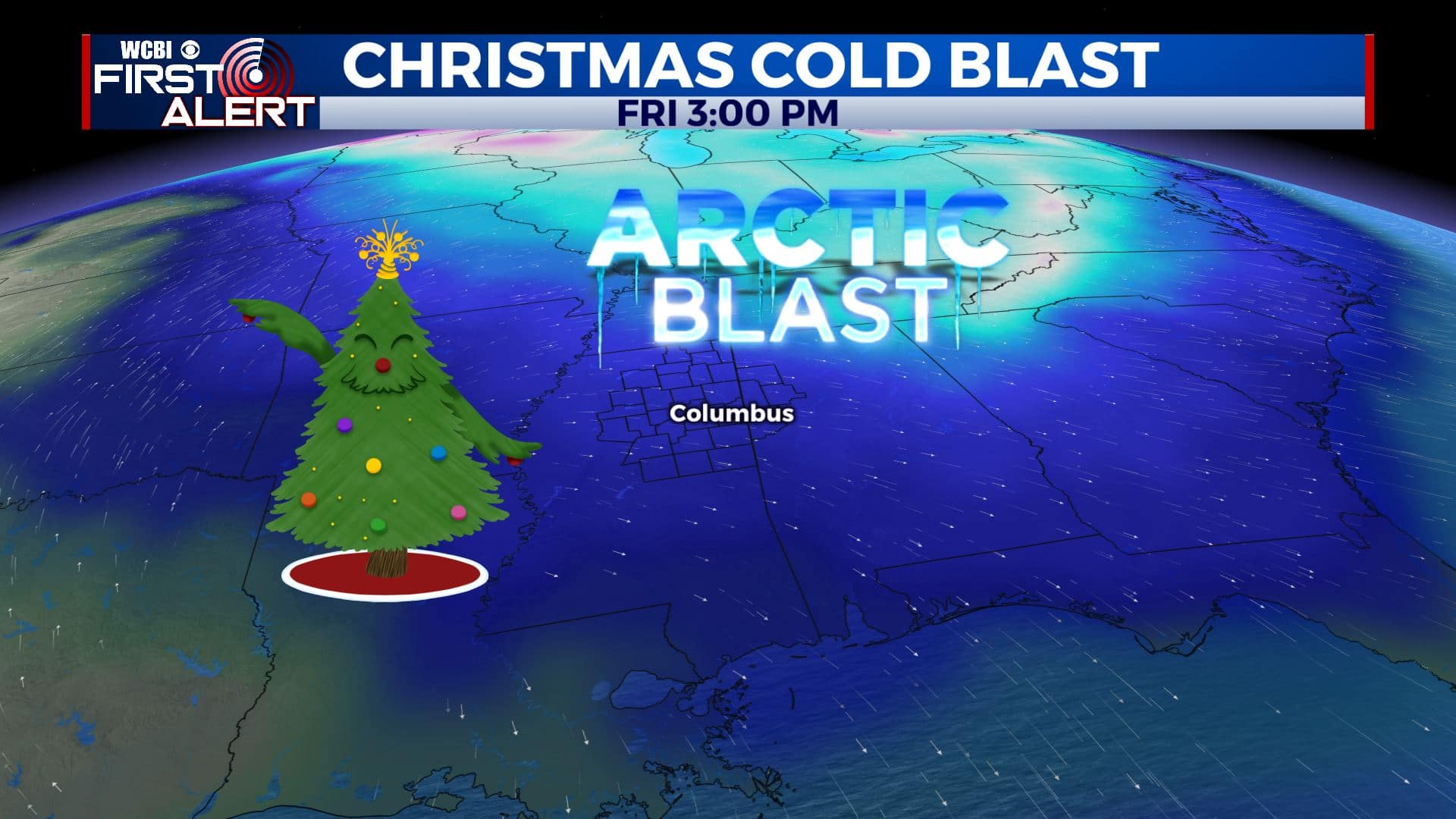
INTO CHRISTMAS: We are not expecting any major systems that would cause severe weather or winter weather. There will be a cold front passing through Christmas Eve, bringing us some possible rain chances followed by a cold, but sunny Christmas Day. Stay tuned!
Stay connected with @WCBIWEATHER on Facebook, Twitter, Instagram, and the WCBI News App


Leave a Reply