Rain and colder air return Thursday
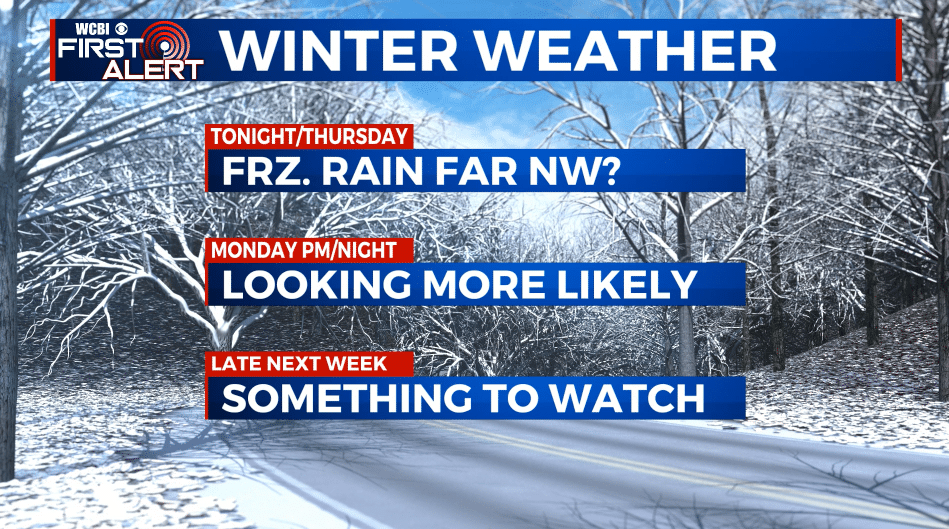
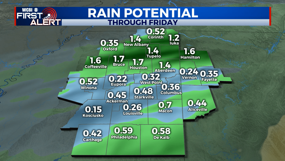
SUMMARY: A major pattern change will take place over the next 24 hours as much colder weather builds into the Southeast. Widespread rain is on tap for Thursday with some lingering showers possible into Friday and Friday night. Most of the weekend is looking cold and reasonably dry but a bigger system lurks for Monday/Monday night. It could be a winter weather maker for our area and bears close watching.
WEDNESDAY NIGHT: Areas of rain with some thunder also possible. Some freezing rain could develop across our far NW counties IF temperatures can get cold enough (not a sure bet this far south). Evening temperatures in the 60s and 50s with colder 40s developing by sunrise in most spots. Winds N 5-15 mph.
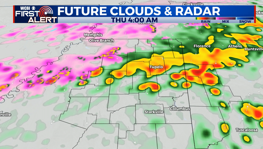
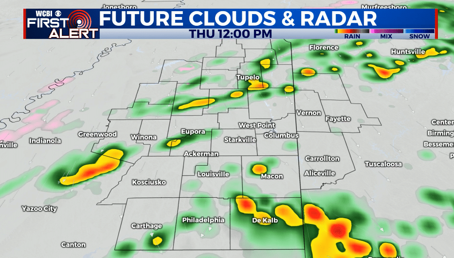
THURSDAY: Cloudy, raw, and damp with areas of rain passing through the region. Northerly winds 10-15 mph. Steady temperatures mainly in the 40s.
THURSDAY NIGHT: Cloudy skies. Some lingering rain is possible. Lows in the 30s.
FRIDAY: Mostly cloudy. Lingering showers will remain possible. Highs in the 40s and 30s. Winds N 10-15 mph.
FRIDAY NIGHT: Cloudy. Some showers are possible. Lows in the 30s.
SATURDAY: Mostly cloudy. Highs in the 40s & 30s.
SATURDAY NIGHT: Mostly cloudy. Lows near 30.
SUNDAY: Mostly cloudy. Highs in the 40s & 30s.
SUNDAY NIGHT: Mostly cloudy. Lows near 30.
MONDAY: Highs in the upper 30s. Wintry weather may develop during the afternoon and evening.
MONDAY NIGHT: Wintry weather is possible. Lows in the 20s.
TUESDAY: Wintry weather pulls away during the morning with mostly cloudy skies lingering during the day. Highs around 32.
LATE NEXT WEEK: More wintry weather is possible Thursday. Something we’ll have to keep watching.
Follow @WCBIWEATHER on Facebook, Twitter, Instagram, and the WCBI News App


Leave a Reply