Rain Showers, Colder Air, and A Few Flakes?
As a cold front approaches, rain chances will increase through the day on Monday and into Tuesday. Colder air will rush into the area, which could allow a brief changeover to some snow flurries Tuesday afternoon in some areas. We’ll stay cool for the rest of the week with highs in the 50s.
SUNDAY NIGHT: Mostly cloudy with some isolated showers. Lows in the low to mid 50s.
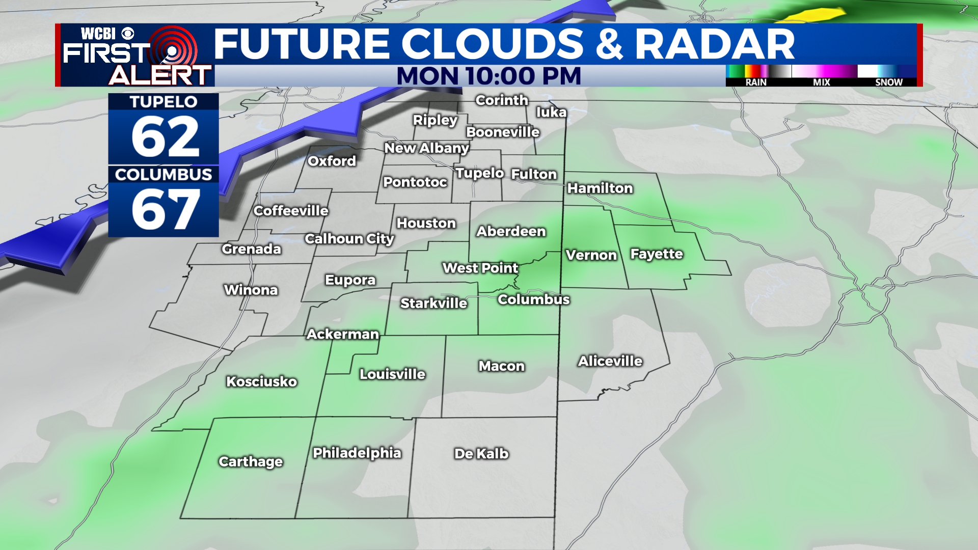
MONDAY: There could be some showers through the day on Monday, but most of us will stay dry and overcast. Highs will be in the upper 60s to near 70 in the afternoon, but will drop overnight as a cold front passes the area. Rain chances will increase overnight Monday into Tuesday with a couple of thundershowers possible.
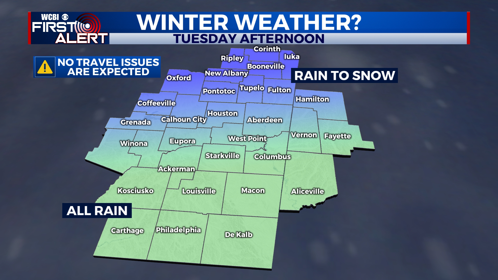
TUESDAY: Light rain will continue off-and-on through the day on Tuesday, even after the cold front passes. We’ll hit our high of 52 before sunrise with temperatures falling into the 30s by the afternoon hours. With colder air moving in, there is a chance for a few snowflakes to mix in Tuesday afternoon along and north of Highway 82. The majority of our area will only see rain. Even if you do see some snow, any accumulation would be limited to elevated surfaces and no problems on the roadways are expected. This means don’t get your bread and milk. All precipitation will exit the area after sunset on Tuesday.
WEDNESDAY: Rain will be clear of the area by morning, leaving us with a mix of sun and clouds for the afternoon. Temperatures will be near or just below freezing at sunrise with an afternoon high in the upper 40s.
THURSDAY-SUNDAY: Temperatures will remain in the low to mid 50s for the end of the week and into the weekend with a mix of sun and clouds. An isolated shower is possible, especially on Friday. The weekend looks nice with highs closer to 60 on Sunday.


Leave a Reply