Relatively dry week ahead as cold pattern digs in
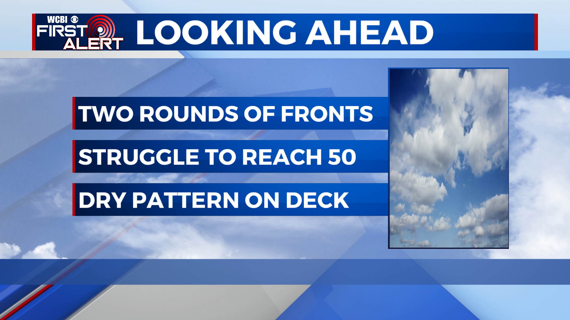
COLUMBUS – SUMMARY: Two rounds of cold fronts on Tuesday and Friday help solidify our winter temperature trend heading into the tail end of January. Our primary rain chance lies with the Tuesday front, which brings the potential for some rain showers mainly to the southern half of our viewing area. Beyond Tuesday the pattern remains dry with partly cloudy to sunny skies tagging along.
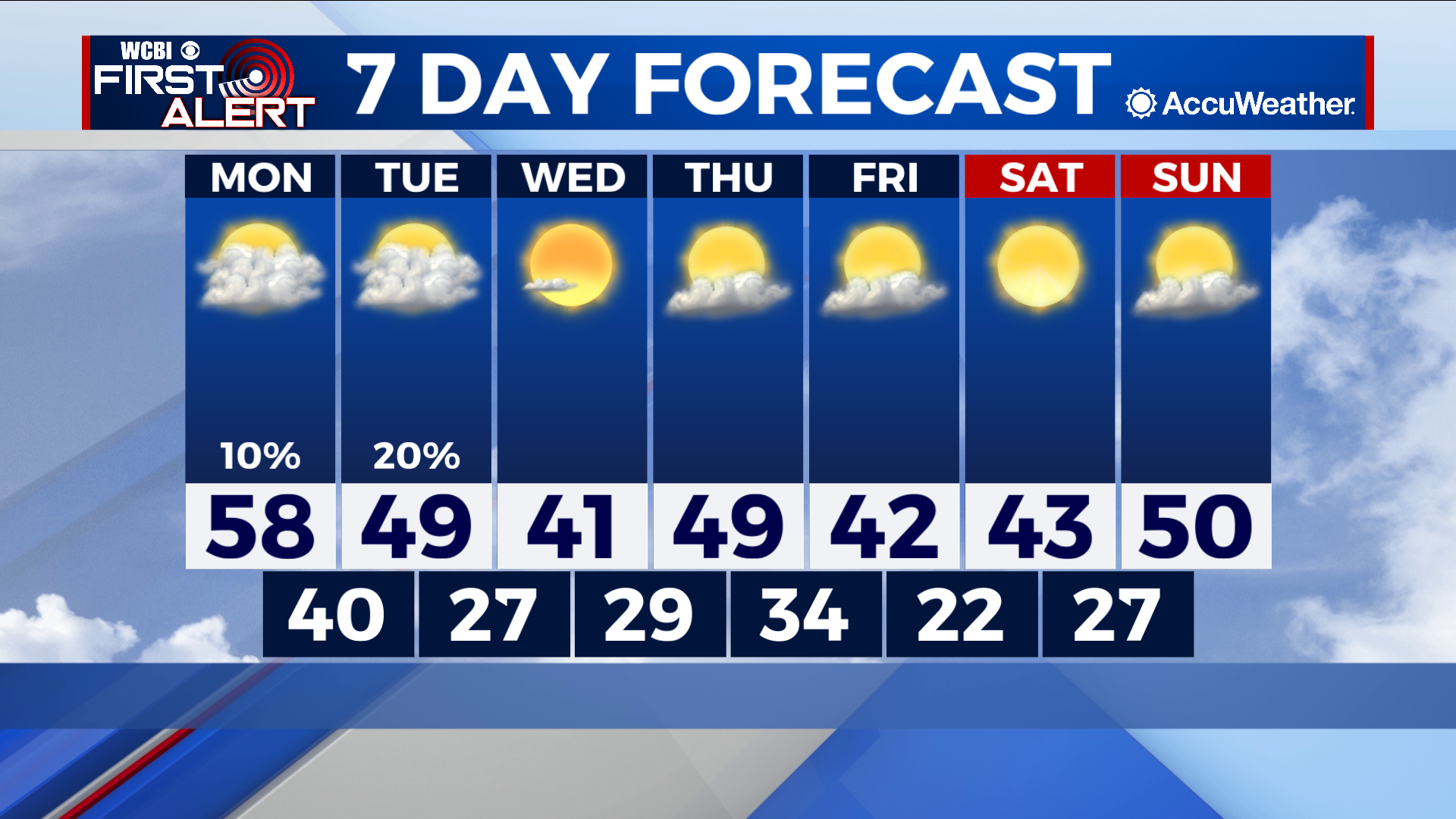
MONDAY: We reach our warmest temperature of the week Monday, reaching the high 50s and possible 60s for some areas across the region. Clouds do begin to return and the odd droplet of rain cannot be ruled out, but the day should be relatively dry. Lows bottom out in the upper 30s to low 40s overnight.
TUESDAY: Our cold front on Tuesday will not bring much in the way of severe impacts or rain but will make up for this with chilly temperatures. Highs lower significantly into the high 40s as the front moves in during the day, with overnight lows decreasing drastically into the upper 20s. Rain-wise expect most of the rainfall to be concentrated in our southern counties as the associated system looks to track south through the gulf coast region.
REST OF THE WEEK: More sun throughout the rest of the week will do little to change to change the wintry trend experienced over the past few weeks. Lows will hardly have the chance to improve into the mid 30s before a cold front on Friday knocks the minimum back down into the low 20s. Highs likewise will struggle to break 50 throughout the rest of the week. The rain chances however, do remain at a minimum and no significant rain-maker is expected through the end of this week.


Leave a Reply