Staying Hot & Steamy, More Sct’d Storms Possible
Heat Advisory Tuesday
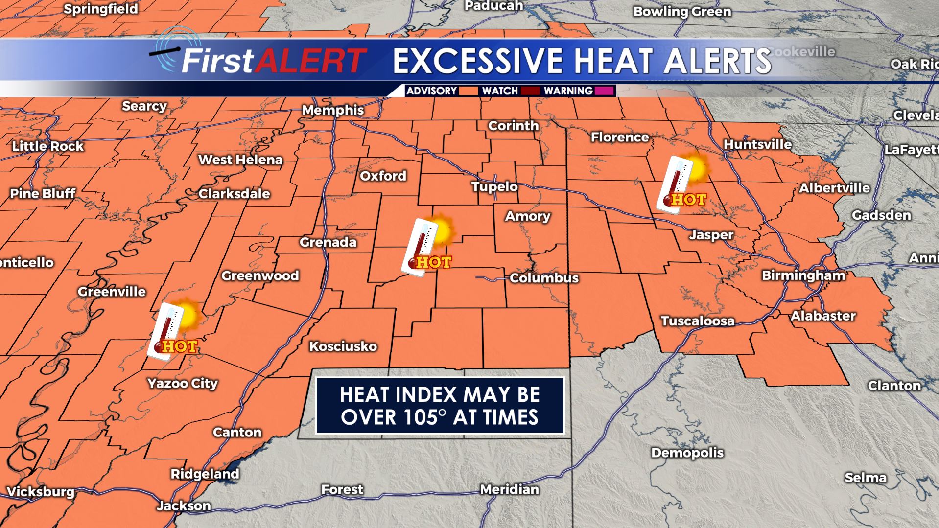
SUMMARY: More heat and humidity for the next few days. In the near term we’re going to have highs well into the 90s with heat indices in the 100-105+ range. Temperatures will “cool” later this week as rain and storm chances go up due to an approaching “cold” front.
TODAY: Partly cloudy, hot, and humid. A 20-30% chance of pop-up storms from late morning through early evening. There probably won’t be as many storms as Monday but a few are certainly possible with heavy downpours, lightning, and refreshing breezes. Expect highs in the mid 90s with heat indices in the 100-105+ range. Winds stay light and variable between 2-7 mph.
TUESDAY NIGHT: A few evening storms are possible but activity will diminish. In general, look for partly cloudy skies and muggy conditions with lows in the mid to low 70s. Winds stay light.
WEDNESDAY: More heat and humidity is in store. Highs stay in the mid 90s with heat indices in the100-105 range. Once again there is a 20-30% chance of a few pop-up showers and storms.
WEDNESDAY NIGHT: A few evening storms are possible but things will quiet down as the night wears on. Lows stay in the 70s.
THURSDAY-SUNDAY: Rain and storm chances go up as a cold front approaches the region and stalls out. We’re going to broad brush a 40-50% chance each day going through the weekend. Temperatures cool more into the low 90s and upper 80s and that means the heat index won’t be as extreme. High school football begins Thursday evening and really gets going Friday so some games may be impacted by rain and storms as we start the season.
Follow @WCBIWEATHER on Facebook, Twitter, and Instagram


Leave a Reply