Storm Chances Continue; Some Could Be Strong.
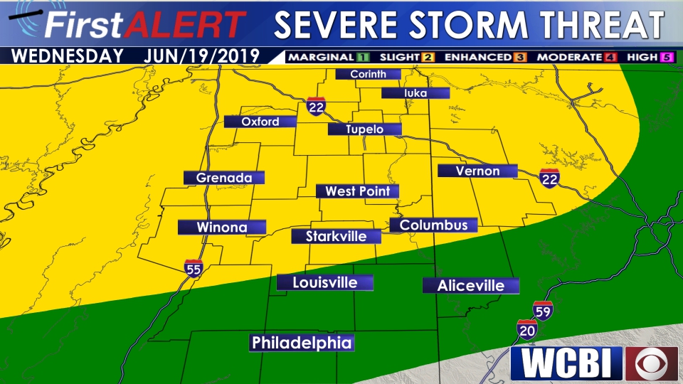 TODAY: An isolated shower or storm will be possible in the morning, but we start out the day mainly dry. By mid afternoon, a few widely scattered storms develop. Some of these storms could be strong to severe, producing gusty winds and hail. Storm chances continue through the evening and into the overnight hours. Some of these storms could be strong to severe. High temperatures today in the low 90s with a heat index approaching 100°. Temperatures will drop into the 70s overnight.
THURSDAY: Additional thunderstorms are likely during the day Thursday. Some storms could be strong to severe, producing gusty winds and hail. Temperatures top out in the upper 80s, with overnight lows dropping back into the low 70s.
FRI/SAT/SUN: Temperatures will top out in the low 90s, with perhaps one or two spots climbing into the mid 90s Sunday. The heat index will be in the triple digits this weekend as the humidity remains oppressive. Each day will bring the chance for a few isolated storms, but the overall rain chance will be lower than earlier in the week. Overnight, lows will drop into the low 70s.
MON/TUE: Isolated to scattered storms possible to kick off next week, with high temperatures in the upper 80s and low 90s.


Leave a Reply