Storms Still Possible Saturday Morning
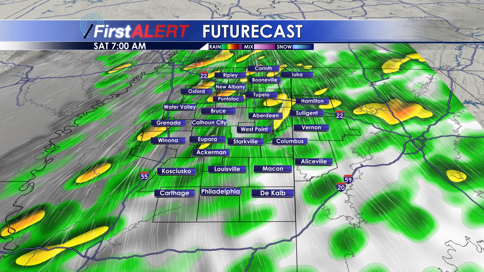
7 AM Saturday Futurecast
FRIDAY NIGHT – SATURDAY MORNING: A lull in activity is likely during the late evening with more showers and storms possible later in the night and during Saturday morning. A small window of severe weather potential exists from about sunrise through about midday. Gusty winds remain the primary concern if severe weather were to occur. The threat of a tornado is low but not zero. Breezy southerly winds between 10 and 20 mph and temperatures in the 60s will get our Saturday started.
SATURDAY AFTERNOON: Winds will become more southwesterly and that along with some breaks in the clouds should allow for highs in the low 70s.
SATURDAY NIGHT: Mainly clear and quiet with lows around 50.
SUNDAY: A pretty nice day is on tap with highs around 70 under a mostly sunny to partly cloudy sky. It’ll be a good day to put up some holiday decorations or head out for some holiday shopping.
NEXT WEEK: A quiet stretch of days is on tap but the trade off will come with much cooler temperatures. Highs will be around 60 Monday with readings around 50 Tuesday and perhaps 40s for the rest of the week. Overnight lows dip back below freezing starting Tuesday night.
Stay connected with @WCBIWEATHER on Facebook, Twitter, Instagram, and Snapchat


Leave a Reply