Stormy pattern settling in, high rain chances to begin next week
SUMMARY: One last relatively dry night across the region, before a slow moving area of low pressure begins to move into the area bringing much higher rain chances. Scattered storms and mid 80s for Saturday, but by Sunday numerous to widespread showers and storms settle into the region. All of the rain and cloud cover will keep up a bit below average, with highs in the upper 70s to low 80s through Wednesday. We could be a bit warmer, though, if we see breaks in the clouds. Rain chances very high through Wednesday, and they begin to taper a bit by the end of the week, but we will still see daily afternoon scattered storms. Lows will remain very steady in the upper 60s.
TONIGHT: A calm and quiet night for most of us. A stray sprinkle or 2 is not out of the question, but otherwise expect partly cloudy skies and lows in the mid 60s. Moisture and clouds will be on the increase through the night.
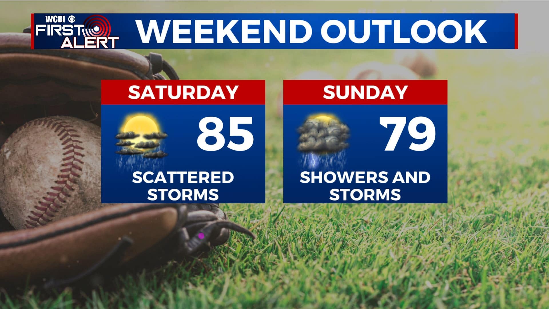
SATURDAY: A couple days ago, Saturday was looking pretty dry for us, but now that has changed and we are expecting scattered storms across the area Saturday afternoon. Coverage of storms shouldn’t be too high, so hopefully the baseball regionals aren’t affected. Highs will be in the mid 80s under mostly cloudy skies.
SATURDAY NIGHT: Scattered shower and storm chances continue into Saturday night. Expect mostly cloudy skies, and rain chances could actually increase a bit as we head towards Sunday morning, with the disturbance moving closer. Lows remaining in the upper 60s.
SUNDAY: Sunday looks to be very unsettled across the region. Expect several rounds of showers and storms throughout the day, although it probably won’t rain the entire day. Unfortunately for baseball fans, a washout or lightning issues are definitely in the cards. Rain chances are very high and I expect most of us to see some rain by Sunday afternoon. Skies will be mostly cloudy to cloudy for much of the day, keeping us a bit cooler in the upper 70s to around 80.
MONDAY TO FRIDAY: The unsettled pattern continues into the work week. Expect nearly universal coverage of rain and storms on Monday, with high rain and storm chances Tuesday and Wednesday as well. With so much moisture and rain, flash flooding could be a concern as the days of rain begin to add up. Highs will be a bit cooler than normal for this time of year, with low to mid 80s through Wednesday. Rain chances could diminish a bit as we head into the end of the week, but there will still be daily chances of afternoon rain and storms Thursday and Friday. Highs warm a bit into the mid 80s, and lows staying very consistent in the upper 60s throughout the week.


Leave a Reply