Strong Saturday Cold Front Ushers in Cold Air, an End to Rain
TODAY: A few isolated showers and sprinkles are possible, but with the cold front clearing through the area, it will temporarily end any chances for heavy rain and storms. Highs are a bit cooler in the upper 50s to low 60s, falling down into the upper 40s and low 50s in the the afternoon with a mostly cloudy sky. Winds are breezy from the north and northeast at 5-15 mph, with gusts as high as 25 mph.
TONIGHT: Look for a mostly cloudy sky. Temperatures fall into the 40s. An isolated sprinkle can’t be ruled out. Winds remain breezy, turning from the northeast to the southeast by morning, 5-15 mph, with gusts as high as 20 mph.
FRIDAY: Look for a mostly cloudy sky with breezy southerly winds. Any rain will hold off until the late afternoon and evening hours, with more showers likely overnight Friday. Highs climb into the upper 50s and low 60s. Lows at night fall to near 50.
SATURDAY: More chances for showers and storms return to the area with highs in the mid 60s. We do not expect any strong storms with this front. Thankfully, the strong cold front will push through by Saturday Night bringing an end to the rainy and warm pattern and transitioning us into a more classic winter pattern. It does also bring arctic air quickly into the region. Lows Saturday Night fall into the low 30s with a clearing sky.
SUNDAY – WEDNESDAY: We’ll finally dry out for Sunday as we see a mix of sun and clouds. Temperatures will be much cooler with morning lows in the teen and 20s and highs only in the 30s and 40s each day, with more sunshine than not. Clouds begin to increase again by Wednesday.
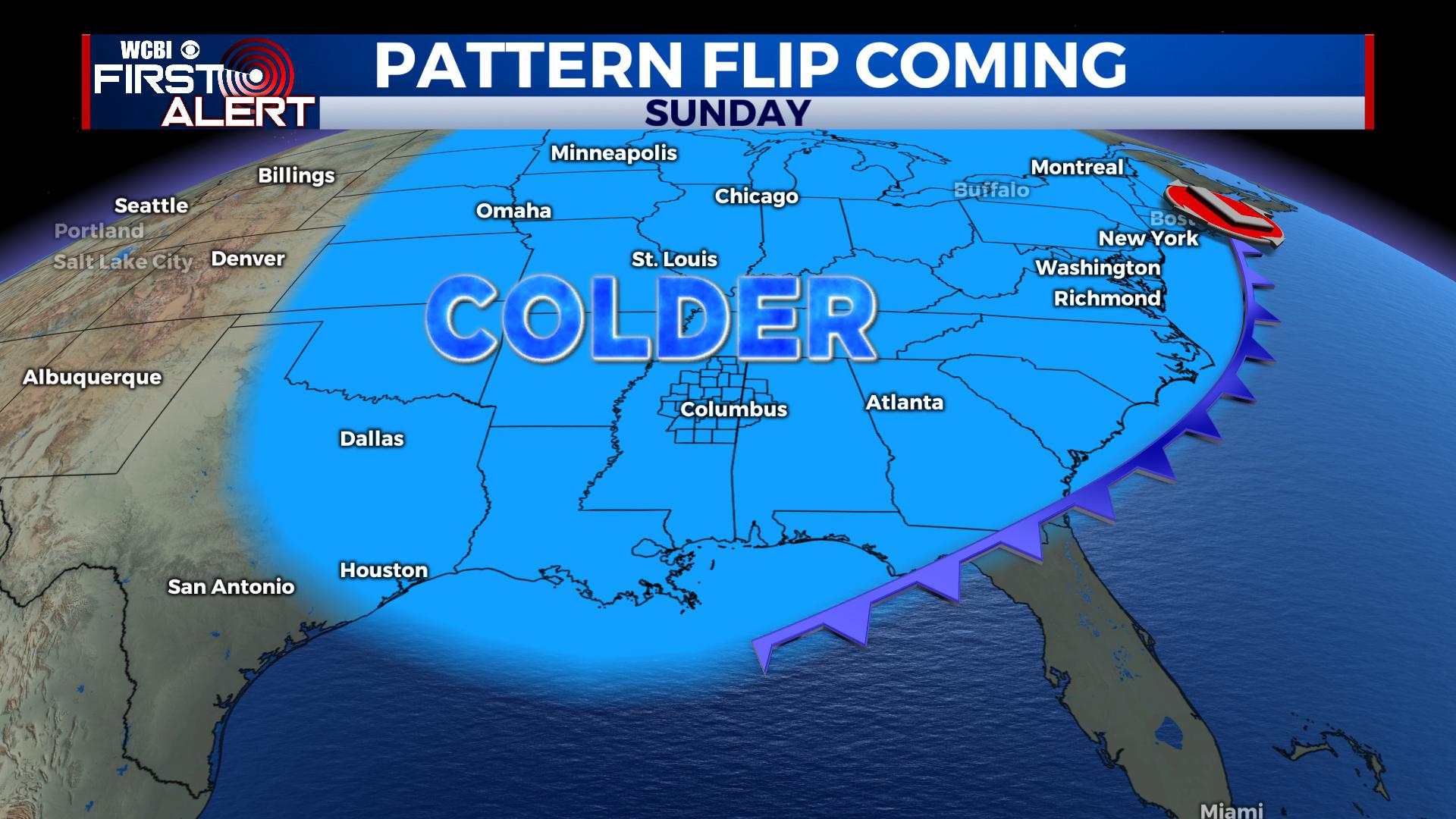
EXTENDED OUTLOOK: We continue to see trends suggesting this cold streak continuing into February. While it does suggest a colder pattern, a few mild days can’t be ruled out. We’ll keep you updated.


Leave a Reply