Strong Storms Likely Monday, Drier Mid-Week
Strong to severe storms are possible through the day on Monday. Some storms could contain damaging winds, heavy rain, and an isolated tornado. We’ll dry out and cool down for the middle portion of the week before rain chances return for Friday.
SUNDAY NIGHT: A few showers are possible overnight tonight, but most of us won’t see any rain. Clouds will build overnight and we’ll stay fairly mild with lows in the 60s and southeasterly winds.
MONDAY: A cold front will approach, increasing chances for showers and storms across the area. Storms could start as early as 10am in the western portion of the area with most storms exiting the area by 7pm or 8pm. It looks like the strongest storms will come through Columbus in the early afternoon, say around 3pm. These storms could produce damaging winds, heavy rain, and lightning. There is also a chance for an isolated tornado, but the threat is relatively low. Regardless, keep an eye on the weather through the day on Monday and stay with the WCBI Weather team for the latest updates and information.
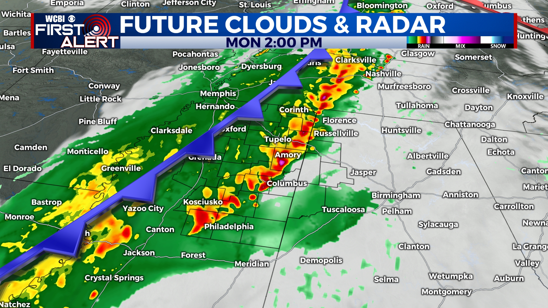
Strong to severe storms will move through the area through the day on Monday.
A Level 2 risk for severe weather is in effect for much of the area, but severe weather is possible everywhere.
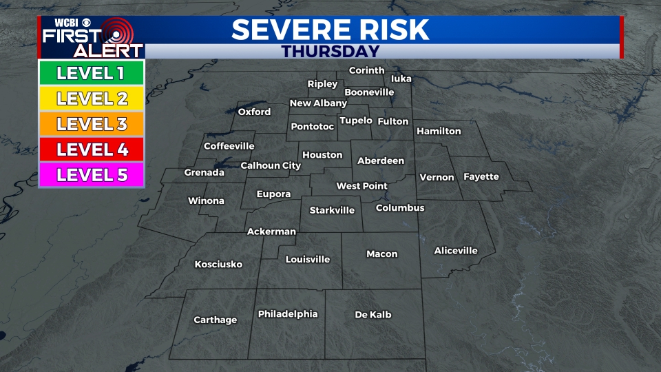
TUESDAY-THURSDAY: Once the cold front passes, we’ll be in for some nice weather for the middle of the week. Temperatures will return to the upper 60s and low 70s with plenty of sunshine.
FRIDAY-SUNDAY: Showers and storms are likely through the day on Friday with heavier rain possible in some spots. Some showers could linger into the day on Saturday, but any leftover rain should exit by Saturday evening. High temperatures will be in the 60s through the weekend with lows in the low to mid 40s.


Leave a Reply