Some Strong Storms Tomorrow Night, Unsettled Weather Pattern Next Week
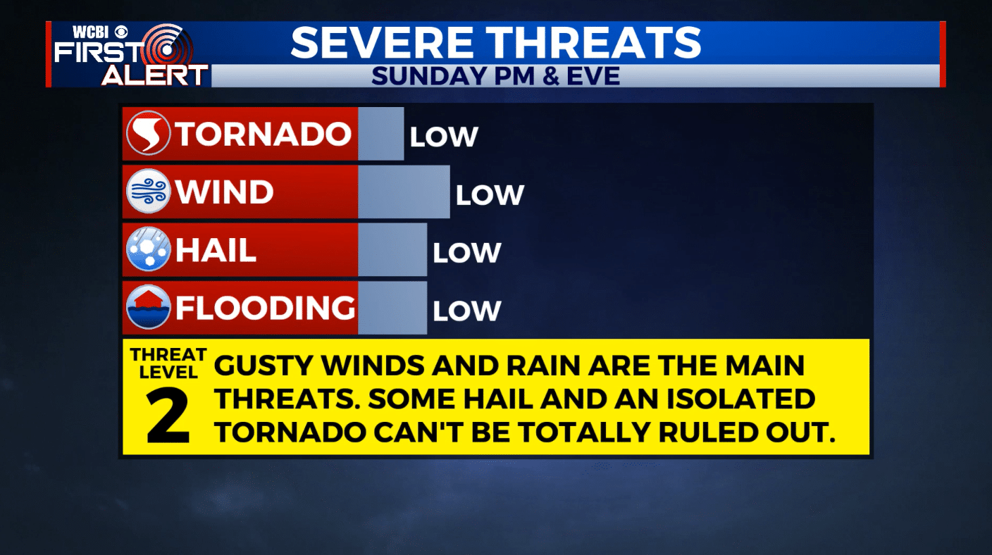
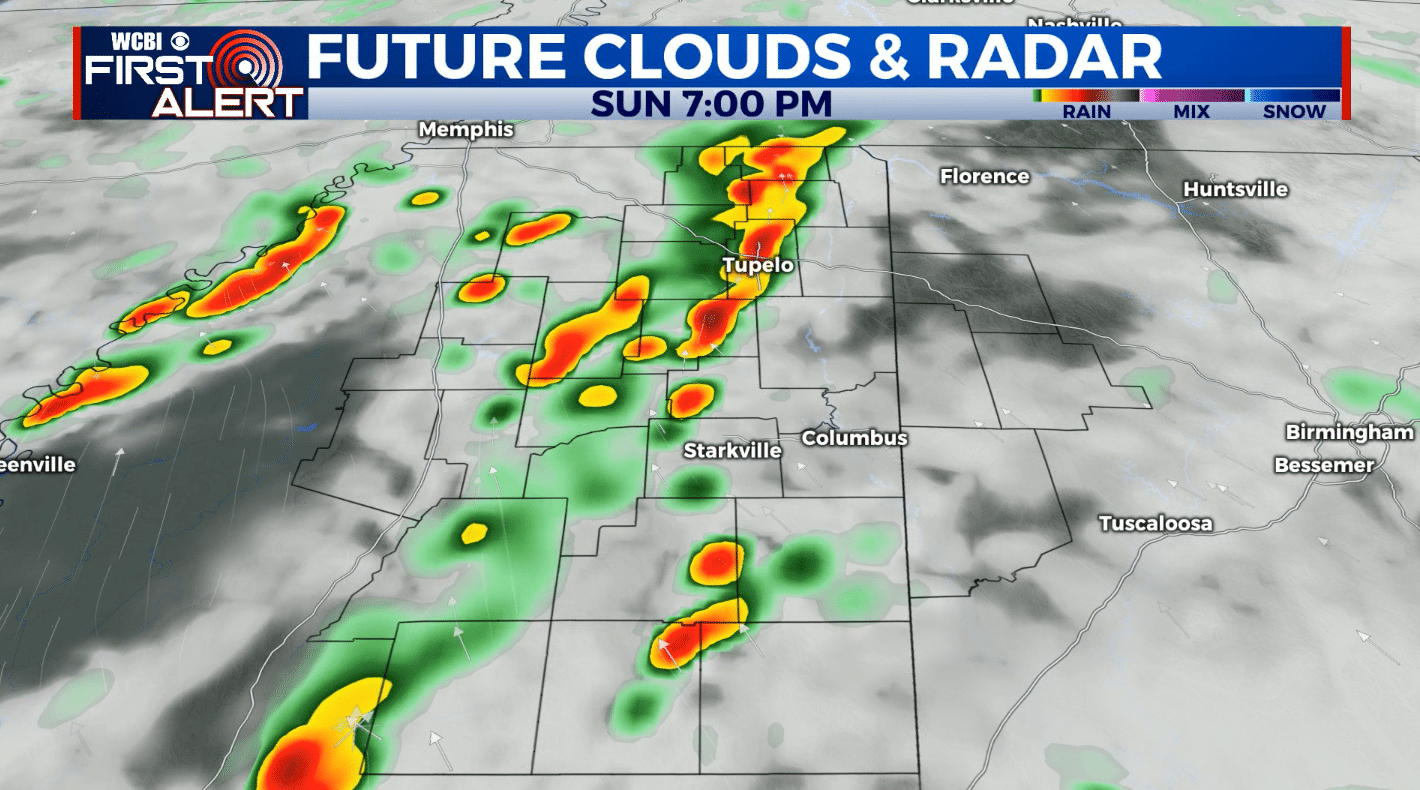
SUNDAY: Some strong, possibly severe thunderstorms are possible during the afternoon and evening hours. The main threats are gusty winds and heavy rainfall. The risk for some hail and an isolated tornado cannot be ruled out. High temperatures will be in the 70s.
MONDAY: Mostly cloudy skies with the chance for some scattered showers throughout the day. Some heavier showers may clip our northern counties in the late evening, but most of the heavier precipitation and storms linger north of us in Tennessee. Highs will be in the mid-80s with overnight lows in the lower 70s.
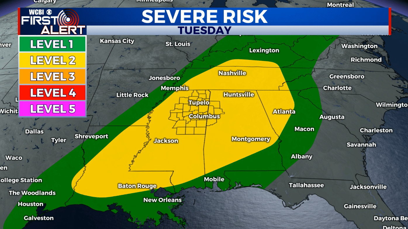
TUESDAY: Another round of showers and thunderstorms expected for most of the day. More strong to severe storms are possible. Highs will be in the mid-80s and overnight lows in the lower 60s.
WEDNESDAY-SATURDAY: Clouds look to break for the afternoon Wednesday with the possibility of some sunshine to peak through! We remain warm through the rest of the work week into the weekend ranging from the mid-to-upper 70s and lower 80s. Another chance for some isolated/spot showers remains for Thursday. Mostly sunny skies returns Friday with a mix of sun and clouds on Saturday.


Leave a Reply