Severe storms possible this afternoon
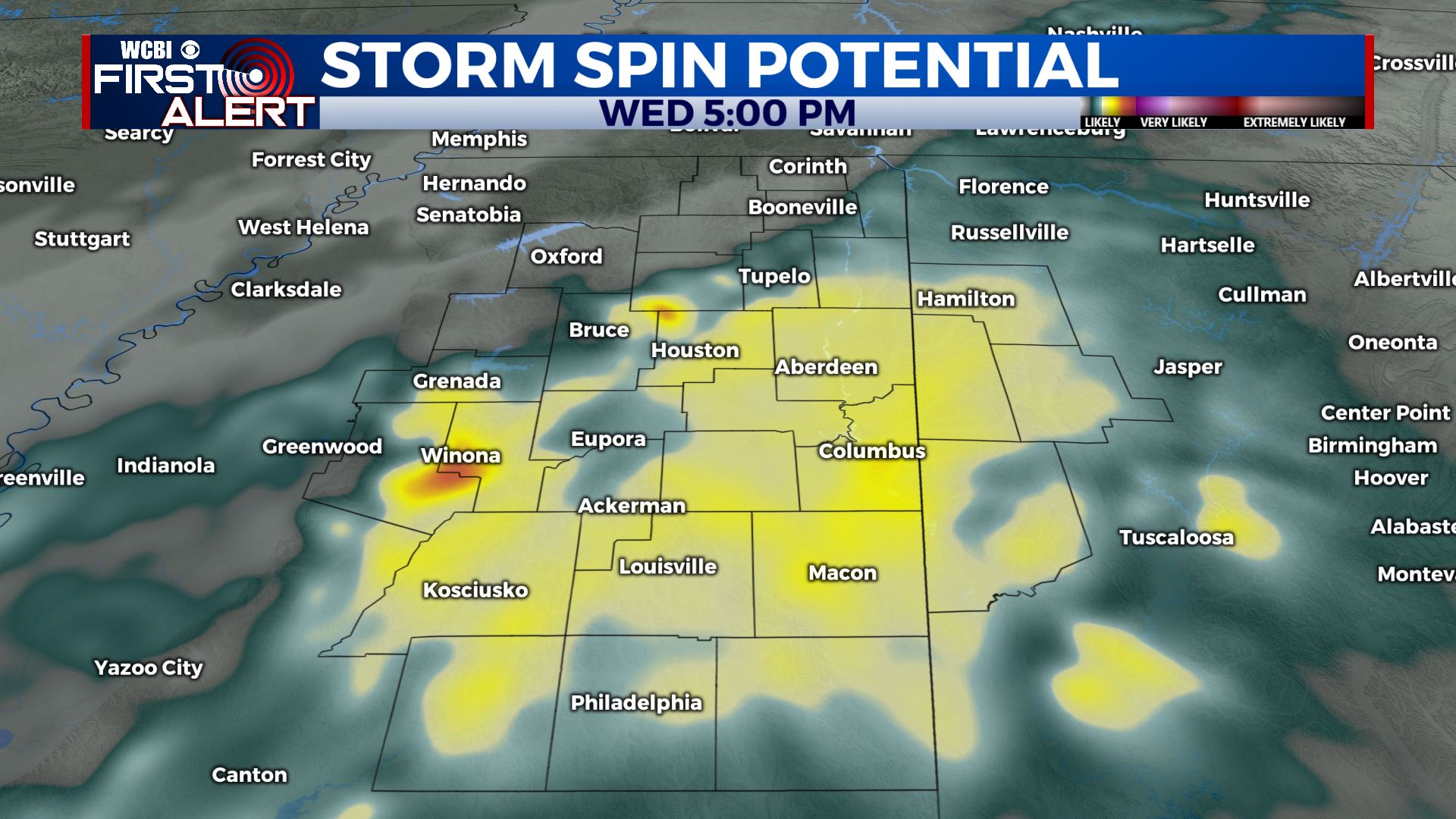
WEDNESDAY: Widespread rain and storms this afternoon through the evening. Some storms could be strong to severe with damaging winds, heavy rain, and even an isolated tornado or two. The main severe weather threat will likely be along and southeast of the Trace. Highs may warm into the lower 70s with south winds between 10-20 mph, gusts up to 25-30 mph.
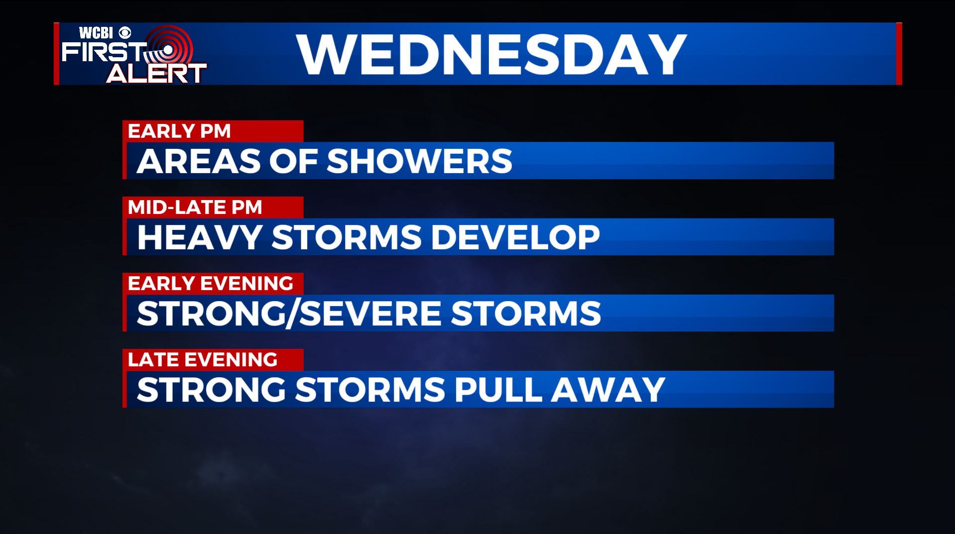
WEDNESDAY NIGHT: Rain and storms during the evening with the strongest activity pulling away by midnight. Temperatures fall down to around 50.
THURSDAY: Mostly cloudy with lingering showers, especially in the morning. Afternoon temperatures much cooler mainly in the lower 50s. NW winds 5-10 mph.
THURSDAY NIGHT: Variably cloudy and colder. Lows in the low 30s.
FRIDAY: A mix of sun and clouds. Highs in the 50s.
FRIDAY NIGHT: Not as cold with lows around 40. Clouds thicken with a few showers possible by Saturday morning.
SATURDAY: Mostly cloudy with a chance of showers. Highs in the mid 50s. Mid 30s for lows Saturday night.
SUNDAY: Mostly sunny. Highs in the upper 50s to lower 60s.
MONDAY-TUESDAY: Mostly cloudy with another chance of showers and storms. Highs in the mid 60s.
STAY CONNECTED WITH @WCBIWEATHER ON FACEBOOK, INSTAGRAM AND TWITTER AND THROUGH THE WCBI MOBILE APP.


Leave a Reply