More Summer Storms on the Way
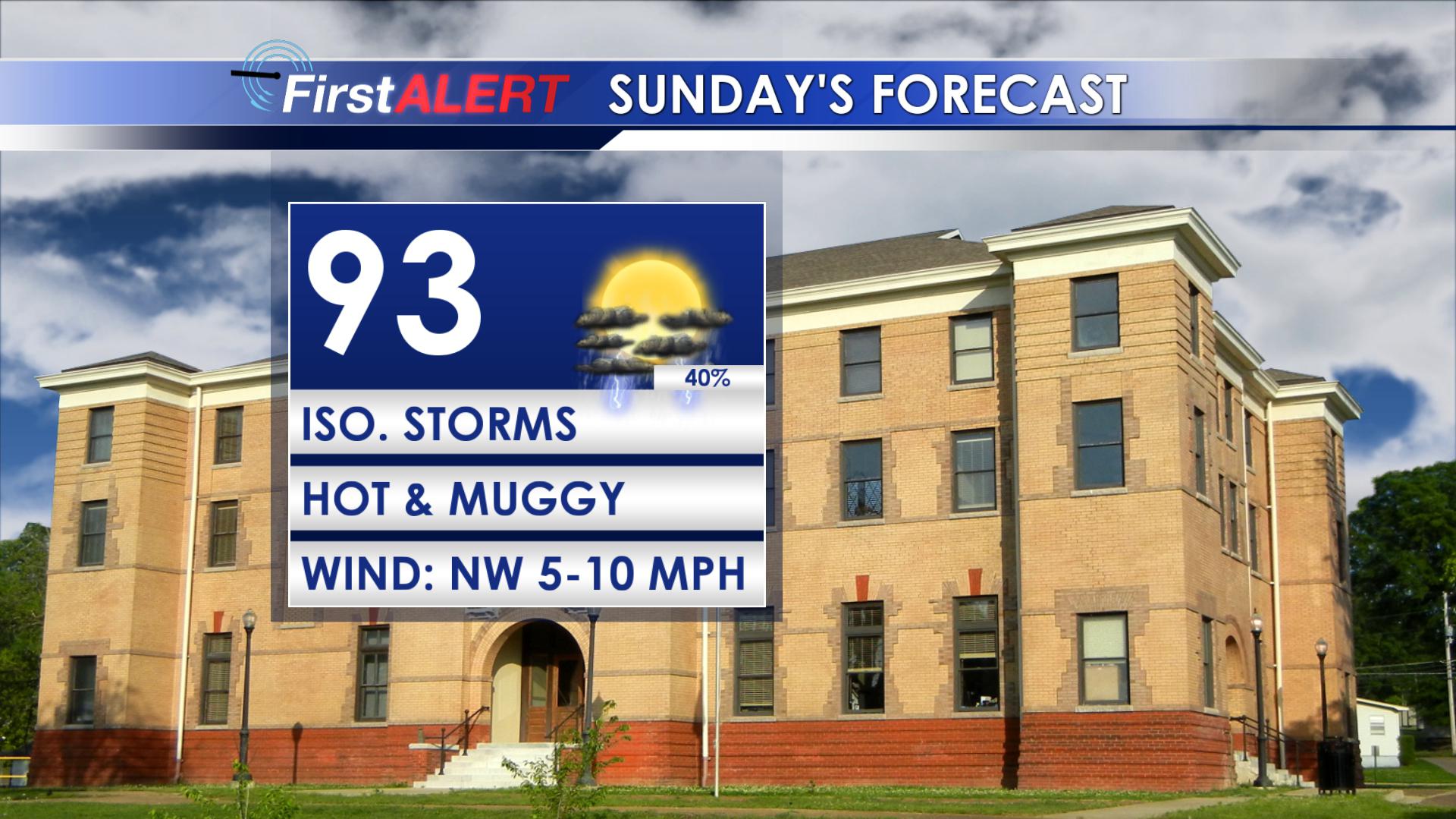 SUNDAY: Look for partly sunny skies and highs in the low 90s area wide. We will continue with a 40% chance of showers and storms. Heat index values will make it into the triple digits so make sure to stay hydrated. Lows will be in the mid 70s.
MON-WED: The overall weather pattern isn’t going to be changing too much. A chance for an isolated shower or thunderstorm is possible each day with highs climbing into the mid 90s and low in the mid 70s. Heat index values will be in the 100s.
THUR-FRI: Highs should be in the low to mid 90s each day with heat index values in the 100s. Lows stay in the 70s. Daily storm chances in the 30-40% range continue as well. We may have to watch the northeastern Gulf of Mexico for some kind of tropical development late in the week but it’s still up in the air.
NEXT WEEKEND: Mostly sunny skies with a chance for an isolated shower or thunderstorm each day. Tropical development in the Gulf of Mexico will also have an influence on our rain chances. Highs will be in the mid 90s and lows in the mid 70s.
Follow @WCBIWEATHER on Facebook, Twitter, and Instagram


Leave a Reply