Sunny & mild start to the new workweek; Cool down by midweek
SUMMARY: Sunshine continues as we begin a new workweek with highs in the 70s. A cold front will push through Tuesday night into Wednesday morning so we could get a stray shower. It will be much cooler with our high temperatures below average in the 60s behind the front. We’ll warm back into the 70s by the weekend with another chance for some showers Friday and some thundershowers Saturday.
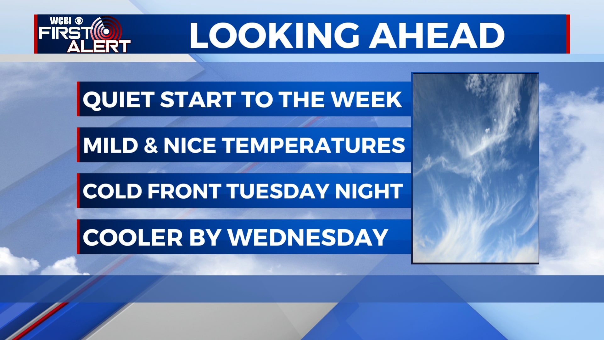
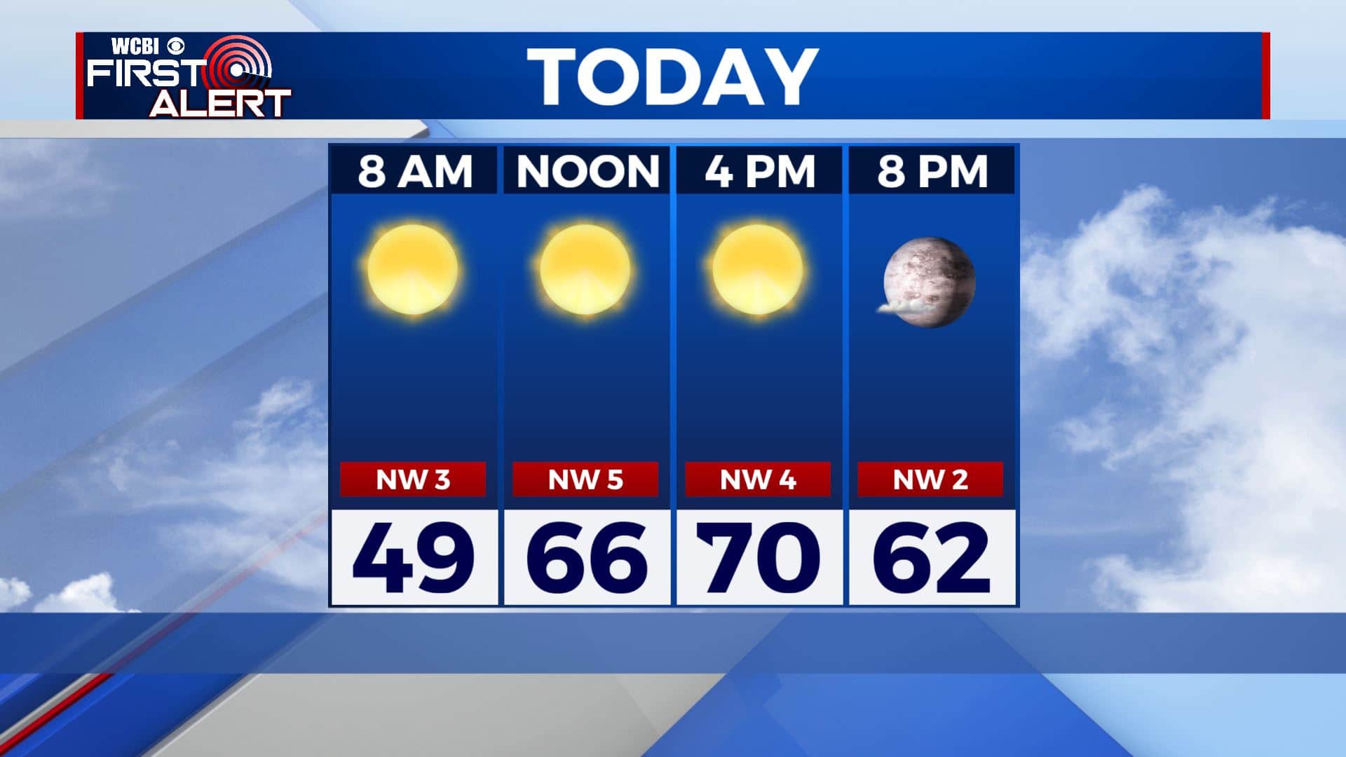
MONDAY: It will be a quiet start to our new workweek for us. Lots of bright sunshine & clear blue skies. Continuing to warm up to near 70 degrees with a light NW wind.
MONDAY NIGHT: A few clouds moving in overnight. Chilly overnight lows remain in the 40s.
TUESDAY: Staying warm with high temperatures in the lower to mid 70s. We’ll see some more clouds move in by late afternoon. SW winds 5-10 mph.
TUESDAY NIGHT: Another cold front swings over the area bringing a few stray showers with it. Overnight lows will be chilly in the upper 30s.
WEDNESDAY: Cooler temps behind the cold front with highs only reaching the lower 60s. Some morning clouds will make way for more sunshine by the afternoon. NW winds 5-15 mph.
WEDNESDAY NIGHT: Mostly clear skies with areas of frost developing by morning so cover up or bring in that sensitive vegetation. Overnight lows in the mid to upper 30s.
THURSDAY: A mix of sun and clouds with highs in the mid to upper 60s. Overnight lows in the mid 40s.
FRIDAY: Mostly cloudy skies Friday with the chance of isolated showers with highs in the upper 60s.
WEEKEND: Some showers and thunderstorms looks to be the highlight on Saturday. Severe threat remains low and mainly looking towards just thundershowers. Highs on Saturday will be warm in the mid 70s. Expecting mostly cloudy skies on Sunday with temperatures sticking around in the lower 70s.
Stay connected with @WCBIWEATHER on Facebook, Twitter, Instagram, and the WCBI News App.


Leave a Reply