Sunny & dry weekend
SUMMARY: A large area of high pressure will keep our area dry throughout the weekend and into early next week. Moisture levels will gradually tick up by next Wednesday and that will give rise to spotty afternoon showers and storms once again.
FRIDAY NIGHT: Clearing skies. Lows ranging from the upper 50s to lower 60s. Winds N 2-6 mph.
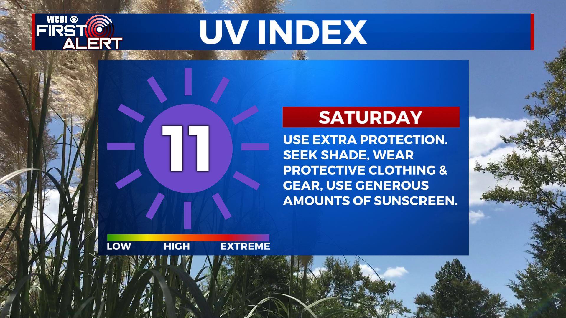
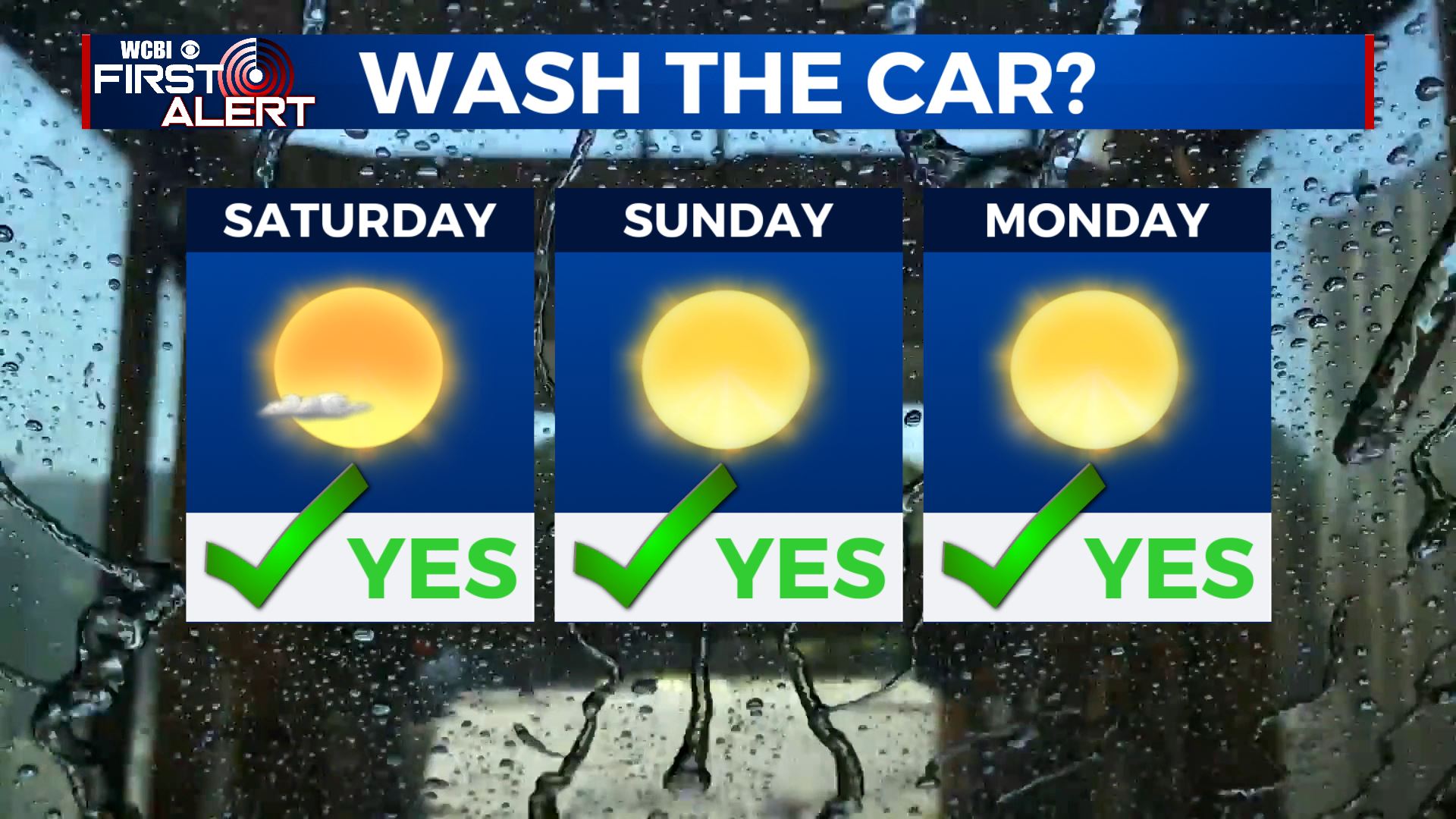
SATURDAY: Abundant sunshine with just a few clouds. Highs mainly in the low 80s. Winds N 5-15 mph.
SATURDAY NIGHT: Clear, quiet, and comfy. Lows in the upper 50s.
SUNDAY: Sunny. Highs in the low 80s.
SUNDAY NIGHT: Staying clear and comfy. Lows in the mid to upper 50s.
MONDAY: Bight sunshine and warmer. Highs in the mid to upper 80s.
TUESDAY-FRIDAY: Partly cloudy, warm, and humid. Highs around 90 with lows around 70. Spotty showers and storms will become more likely each day as moisture flows back into the region.
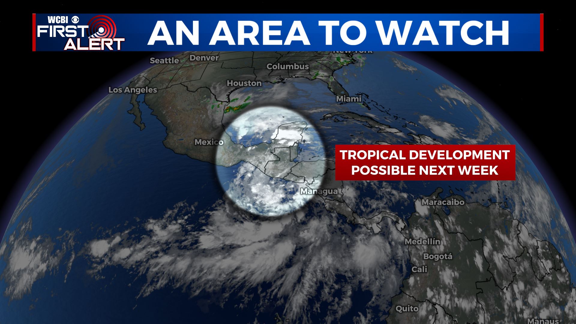
LOOKING AHEAD: Some model data suggest some kind of tropical development over the next week near Central America or the far southern Gulf of Mexico. It’s something that we’ll be keeping an eye on but it nothing more than an item of interest at the moment.
Follow @WCBIWEATHER on Facebook, Twitter, Instagram, and the WCBI News App


Leave a Reply